Mapping Oregon wildfire, smoke impact: Air quality could improve as Bedrock, Lookout fires burn
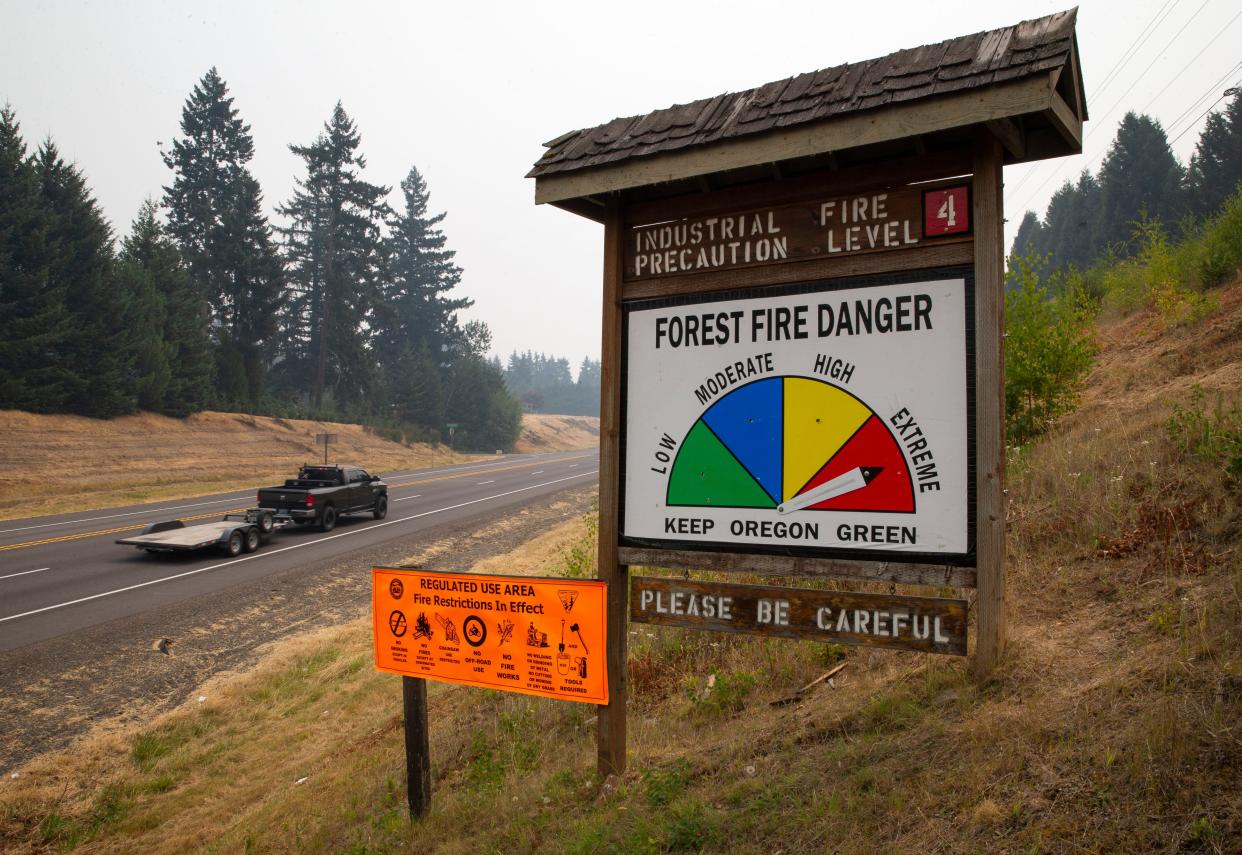
Air quality in western Oregon is forecast to improve Monday afternoon as wildfires not yet half contained rage on.
The Bedrock Fire in the Willamette National Forest is only 35% contained while the Lookout Fire in Lane County, Oregon is only 5% as of Monday afternoon.
The Bedrock Fire, which started on July 22, has burned at least 30,486 acres, according to the National Wildfire Coordinating Group.
The Lookout Fire, which lightning sparked on Aug. 5, has burned over 11,174 acres as it moves north and northeast, the NWCG reported. Over 900 personnel are battling the blaze that has not damaged any structures yet.
"An evacuation center is in place at Lowell High School for evacuees and small pets from the Bedrock and Lookout Fires. A large animal shelter is set up at the Lane County Fairgrounds in Eugene," the NWSG wrote.
US wildfire, smoke map: Track latest wildfires, red flag warnings across the US
. @NWSGSP IMET trainee en route to #LookoutFire located 4 miles N of McKenzie Bridge, OR #ORwx #ORFires @NWSPortland @willametteNF https://t.co/nODG25yF88 pic.twitter.com/utgZqW7PW0
— NWS IMET Operations (@NWS_IMET_OPS) August 21, 2023
Smoke from these fires, as well as ones from Washington, California and Canada have pushed air quality to poor or hazardous levels over the past few days. However, air quality is set to improve thanks to rainfall from Hurricane Hilary, which is expected to help dampen blazes in Canada and the east side of Oregon and Washington. Winds continuing to push smoke eastward will also support the air quality improvement.
“Our goal remains to keep the size of the fire as small as possible and to continue to protect nearby private lands and structures,” incident commander Jason Loomis said in a statement, according to the Statesman Journal, a USA TODAY Network outlet.
Oregon wildfire map
Oregon air quality map
US wildfire, smoke map
Contributing: Zach Urness, Statesman Journal
This article originally appeared on USA TODAY: Oregon wildfires: Map Bedrock, Lookout Fires, smoke and air impact

