Metro Detroit slowed as snowstorm begins to pummel Michigan
As Michigan’s biggest storm of the season hit Friday, people all over the state quickly felt its impact.
Whiteout conditions and strong winds made for hazardous driving and for plenty of power outages in parts of the state — even metro Detroit, which missed the brunt of the storm, couldn't avoid the damage.
Friday night, more than 64,900 DTE customers and more than 26,200 Consumer Energy customers across the state were without power, but that number was expected to climb throughout the night as high winds with gusts near 50 mph pummel the state.
Additionally, the storm has led to thousands of flights being canceled nationwide. At Detroit Metro Airport, 77 inbound and 71 outbound flights were canceled. On the other side of the state, 41 inbound and 34 outbound flights had been canceled at Gerald R. Ford International Airport in Grand Rapids.
Here's a quick overview of what the weather will look like in different parts of the state.
Southeast Michigan
On the warmer side of the system, southeast Michigan is only under a winter weather advisory, according to the Detroit/Pontiac National Weather Service.
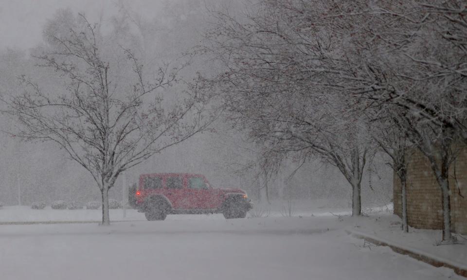
The region saw snowfall of up to 5.6 inches by Friday evening but after temperatures drop overnight, beware of slick roads when Friday night's wet weather turns into Saturday morning's ice. The Michigan Department of Transportation has been working to clear crashes on local roads throughout Friday evening.
In the Detroit area, there were reports thundersnow, a rare phenomenon, Friday evening, according to the NWS. Metro Detroit previously faced thundersnow in spring 2023.
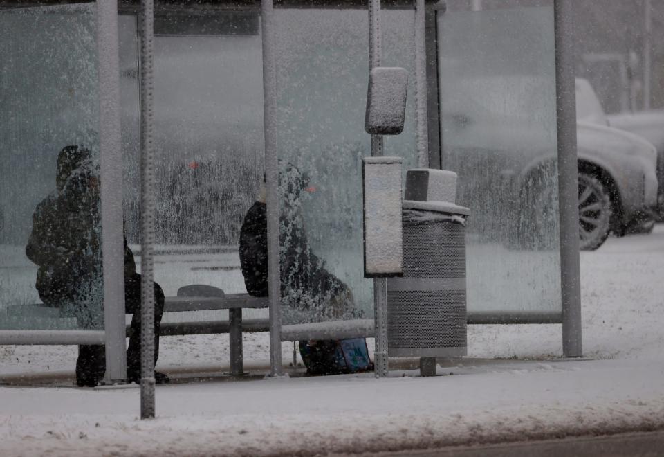
SMART modified its bus routes to navigate the weather conditions while protecting its riders and operators. Riders can anticipate possible delays and altered routes through the weekend.
Bad weather broken down by city: Michigan snowfall predictions: How much your area could get
In Westland, Mayor Kevin Coleman was opening warming centers and charging stations in case of power outages. The city also asked residents to call 911 or contact the non-emergency police line at (734) 722-9600 if they know or see someone out in the cold so that police and emergency services can take them somewhere warm.

The city of Detroit was also offering warming centers and other respite locations at Cass Community Social Services, Detroit Rescue Mission Ministries and Joseph Walker Williams Recreation Center, as well as several Detroit Public Library branches and recreation centers. These respite locations are open during regular operating hours but are closed on Martin Luther King Day on Monday and set to reopen on Tuesday.
Central and West Michigan
The rest of the mitten is under a winter storm warning; apart from strong wind gusts up to 50 mph, central Michigan got up to 3.5 inches of snow and west Michigan saw up to 6 inches of snow by early evening Friday.
Lansing enacted a code blue emergency at 5 p.m. Friday and it will remain in effect until 5 p.m. Tuesday. Under the emergency, the city has several warming shelters available, with information available on its website.
According to the National Weather Service, heavy snow is expected to blanket the greater Grand Rapids area through Saturday with the heaviest snowfall expected between 4 p.m. and midnight. Snow showers are forecasted to go through at least Monday in Grand Rapids.
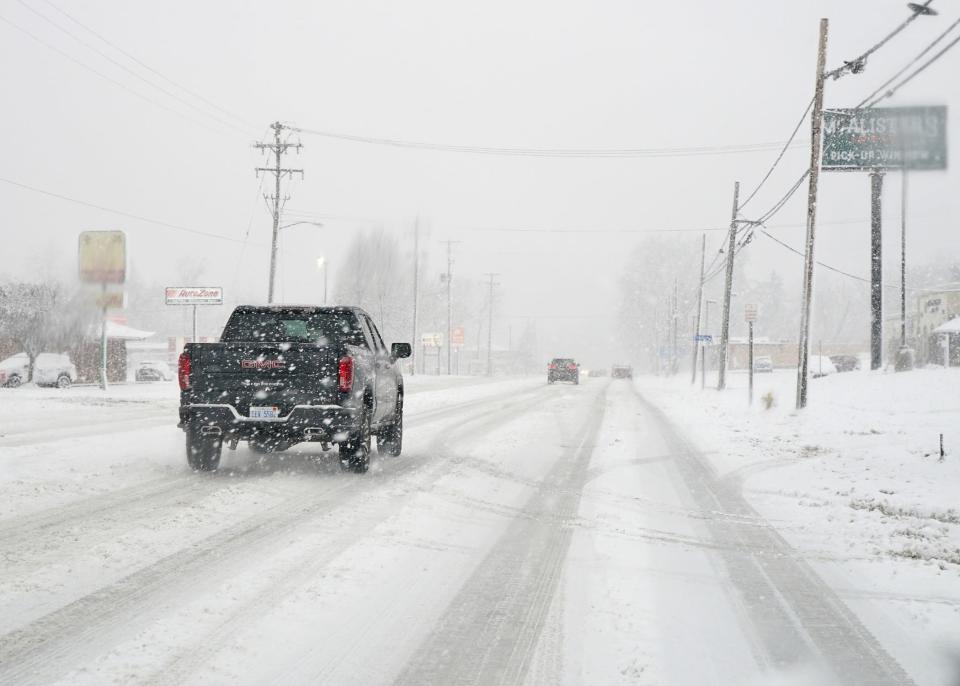
Heavy winds blowing snow could cause low visibility conditions on roads. A Kent County Sheriff’s Office bulletin advised drivers to limit travel plans in the area during the storm. In St. Joseph County, all non-essential traffic is being asked to stay off the roads.
If you must travel, the National Weather Service recommends keeping an extra flashlight, food, and water in your car in case of an emergency.
West Michigan typically sees greater snowfall totals than the metro Detroit area, mostly from lake effect snow caused by Lake Michigan.
Northern Michigan and the Upper Peninsula
Northern Michigan and the U.P. are also under a winter storm warning dipping into blizzard weather, with snow accumulations of 7-15 inches and wind gusts of 40 mph. The most snowfall can be expected in Menominee County and areas at higher elevations, from Ironwood to the Porcupine Mountains.
However, the northern Lower Peninsula and the eastern U.P. are expected to be enveloped in blizzard conditions, with at least 10-15 inches of snow — up to 18 inches in some areas — and wind gusts around 50 mph, closer to 60 mph near the Lake Huron shoreline. These conditions are expected to persist into Saturday evening.
At the Pellston Regional Airport in Northern Michigan, wind gusts of 35 mph were reported on Friday afternoon. A wind escort is in effect on the Mackinac Bridge as of 8:14 p.m. Friday, with winds of 35-49 mph recorded in the Straits area.
The Department of Natural Resources issued a press release on Friday urging snowmobilers and anyone else going out on the ice to be careful. The department advised wearing a lifejacket, carrying ice picks and equipment to test ice thickness.
A snowstorm is considered a blizzard when it blows large amounts of snow at wind speeds over 35 mph, cutting visibility down to less than a fourth of a mile and producing an extreme wind chill, for at least three hours, according to the NWS. In a storm like northern Michigan's blizzard, the wind chill is expected to bring their not-too-bad temperatures from the upper 20s down to the teens or even a whopping single digit degree.
The National Weather Service in Gaylord said travel in this region will be nearly impossible and should be restricted to emergencies only.
Reporter Arpan Lobo contributed to this report.
This article originally appeared on Detroit Free Press: Winter storm pummels Michigan: What's happening across state

