Michigan winter storm: Live weather, radar updates
Forecasters are predicting up to 8 inches of snow to hit parts of southeast Michigan mostly on Friday.
Moderate to heavy, wet snow is expected in the afternoon and evening. Peak snowfall rates of up to 1 inch per hours are possible before the snow changes over to rain as temperatures rise into the mid 30s in the evening.
Get the latest updates on the winter storm front — and the latest radar loop — below.
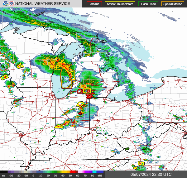
Michigan weather radar
Refresh this page to see the latest radar loop. Can't see the map below? Tap here.
Power outages, flight cancellations begin
As Michigan’s biggest storm of the season begins its reign, people all over the state are already feeling its impact.
Whiteout conditions and strong winds bringing hazardous roads and plenty of power outages in parts of the state are the biggest concerns — even metro Detroit, which will miss the brunt of the storm, can’t avoid the damage.
Currently, 984 DTE customers and 94 Consumer Energy customers across the state are without power, but that number is expected to climb throughout the night as high winds with gusts near 50 mph pummel the state.
Additionally, the storm has led to thousands of flights being canceled nationwide, 44 of which were canceled coming in and 40 more coming out of Detroit Metropolitan Airport (DTW). On the other side of the state, 37 flights have been canceled coming into and 34 coming out of Gerald R. Ford International Airport in Grand Rapids.
More updates from around the state here.
-Kylie Martin
Blizzard warning issued in northern Michigan
The National Weather Service has issued a blizzard warning for the following Michigan counties from 5 p.m. Friday to 7 p.m. Saturday: Cheboygan, Presque Isle, Alpena, Alcona, Iosco, Otsego, Montmorency, Crawford, Oscoda and Ogemaw. The warning is also in effect for Mackinac Island and Bois Blanc Island.
The report from the National Weather Service said: "Blizzard conditions expected. Total snow accumulations of 10 to 15 inches anticipated with localized amounts of 18 inches possible. Frequent wind gusts of 35 to 50 mph this evening and tonight with potential for 60 mph wind gusts, especially near the Lake Huron shoreline."
How much snow will Michigan get?
National Weather Service snow predictions range from 1-4 inches near Detroit, 4-6 inches near Pontiac and 6-8 inches near Flint.
A portion of southeast Michigan where accumulation may exceed 6 inches is under a winter storm warning from 1 p.m. Friday until 7 p.m. Saturday. Macomb, Oakland and Wayne counties are under a winter weather advisory from 1 p.m. Friday to 7 p.m. Saturday.
Metro Detroit will probably see less snow due to warmer temperatures to the south that will result in rain.
Here are the current snowfall predictions for cities throughout Michigan.
Expect gusty winds through the weekend
Strong winds are expected Saturday with gusts likely exceeding 45 mph. Temperatures will drop and send wind chill temperatures into the single digits Saturday and below zero Sunday.
Drivers should prepare for slick, hazardous roads, low visibility and slow commute times during the storm.
The gusty winds could cause power outages.
This article originally appeared on Detroit Free Press: Michigan winter storm: Live weather, radar updates
