Michigan winter storm: Live weather radar, traffic updates
A winter storm warning is in effect for Southeast Michigan from Friday afternoon through 4 a.m. Saturday, according to the National Weather Service.
Periods of heavy, wet snowfall are expected with snowfall rates around 2 inches per hour. Some thunder snow is possible.
Live updates: 5-8 inches of snow expected in parts of metro Detroit
The highest intensity snowfall is expected between 4 p.m. and 11 p.m. Southeast Michigan could see anywhere from 6-10 inches of snow. Amounts may be on the lower end of the range for Wayne, Lenawee and Monroe counties due to warmer air resulting in periods of rain.
The peak snowfall arriving for the evening commute, could make travel hazardous as roads become snow covered, slippery and icy with low visibility expected.
Here are the forecast snowfall totals for this afternoon thru tonight across Southeast Michigan. #miwx pic.twitter.com/yeq5nGbd7R
— NWS Detroit (@NWSDetroit) March 3, 2023
Winds up to 25 mph with gusts up to 35 are predicted during the day. Gusts could reach 40 mph overnight.
More:8 steps to prepare for a Michigan winter storm
More:Michigan snowfall predictions: See how much your area will get during winter storm
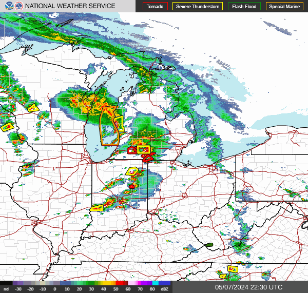
Michigan weather radar
Refresh this page every several minutes to see the latest radar. Can't see the radar below? Tap here.
Michigan traffic updates:
Can't see the updates above? Tap here
This article originally appeared on Detroit Free Press: Michigan winter storm: Live weather radar, traffic updates
