Mixed winter weather ahead; caution advised for Friday morning commute
Some light snow and a drizzle of rain predicted to fall Thursday could lead to slick roads on Friday morning, before a sunny and dry weekend in the Rochester region, according to the National Weather Service in Buffalo.
Little snow accumulation is possible Thursday and Friday, but with the temperature expected to dip below the freezing point overnight, roads may be slick Friday morning, said Weather Service Meteorologist David Thomas.
The weekend, he said, is predicted to far nicer. "We'll see prolonged periods of sunshine, no big warmups" but temperatures will reach the mid to upper 30s, Thomas said. The normal high for the first days of February in Rochester is 33 degrees, according to the Weather Service.
The forecast predicts sunny skies on Saturday and Sunday and highs in the mid- to upper 30s through at least mid week next week.
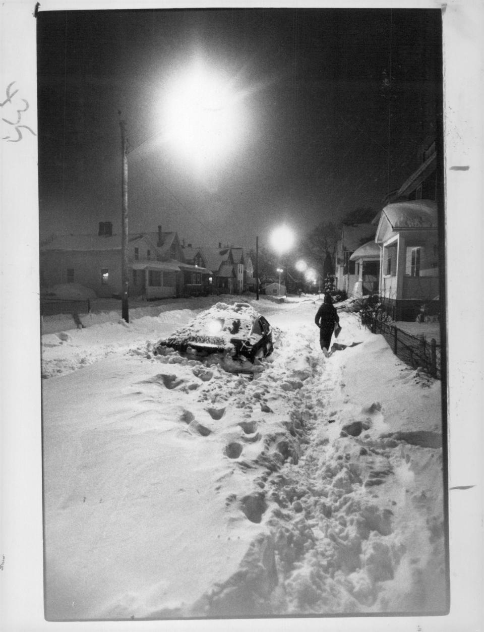
How much snow has Rochester NY gotten so far?
To date this winter, 34.4 inches of snow fell in Rochester, measured at the Frederick Douglass Greater Rochester International Airport, according to Weather Service data. A bulk of the snow - 25.6 inches - fell in January.
Thomas said the month's snowfall was 1.8 inches below normal for January snowfall in Rochester, and roughly two feet below the seasonal snowfall total for this point of the season. Rochester's normal seasonal snowfall average is around 102 inches.
Rochester's snowiest season in the last two decades was in 2002-03, when 135.2 inches fell. The least snowy season in the last 20 years was this past winter with 50.4 inches of snow measured, according to the Weather Service. The least snowy winter on record was in 1932-33, when only 29.2 inches fell.
Snowstorms in February and March in Rochester NY
Over the years, the Rochester region has been hit by innumerable snowstorms. And it appears that February and March are the favored months.
The two biggest storms in local history both began in February and sprawled into March.
In 1900, Snow fell for 63 hours straight, between Feb. 28 and March 2, making this the worst snowstorm and deepest snow pack ever seen in Rochester. The monster storm of 43.5 inches halted commerce and disrupted lives through the Great Lakes region, with cities from Cleveland to Buffalo to Montreal reporting blizzard conditions. In this area, Le Roy had 10-foot drifts, Geneva was cut off from outside communication and the only people who made it into Brockport arrived on horses. In the city, people bemoaned the fact that the daily milk train had been hours late and delivery vehicles weren't able to navigate the streets.
During the Great Leap Day storm, 32.7 inches that fell between Feb. 27 and March 3, 1984. The bulk of the snow that fell during the six day event came on the final two days of February, when nearly 2 feet of snow fell and the Rochester area was briefly in shut-down mode. People had resumed their normal lives by March 1, but light snow continued as crews struggled to clear streets and haul away snow.
This article originally appeared on Rochester Democrat and Chronicle: Rochester NY Weather: Wintry mix ahead; caution advised for commute

