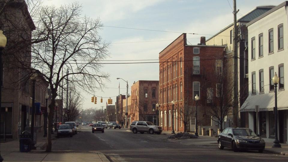
Monroe's core history can be traced to Old Village Plat
- Oops!Something went wrong.Please try again later.
While driving from my house on Arbor Avenue to work at Monroe County Community College, I often thought about the core history of Monroe. Why is it located there? What is considered the “heart” of Monroe? What was the background on some of the street names and locations of buildings? Answers to those questions can be traced back to the Old Village Plat.
According to a web-based summary, Monroe’s Old Village Plat can be considered the nucleus of Monroe’s evolutionary history. It has been identified as being one of the first plats drawn in the Territory of Michigan in 1817, and its creation led to the migration of the original settlement from the north bank of the River Raisin to a planned arrangement along the southern portions of the river’s shoreline before it empties into Lake Erie.
Monroe was the third European settlement to be established in Michigan, and, by 1837, Monroe was the third largest community in the state after Detroit and Ann Arbor. Its rapid growth could be attributed to the location of a land office within the Old Village Plat in 1823. The opening of the Erie Canal in 1825 also provided emigrants from New England and New York with a direct and safe route to the Great Lakes area, and they brought their puritan building traditions to Monroe – surveying for public roads and establishing commercial endeavors.
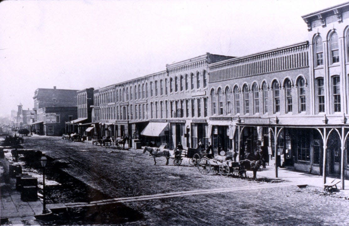
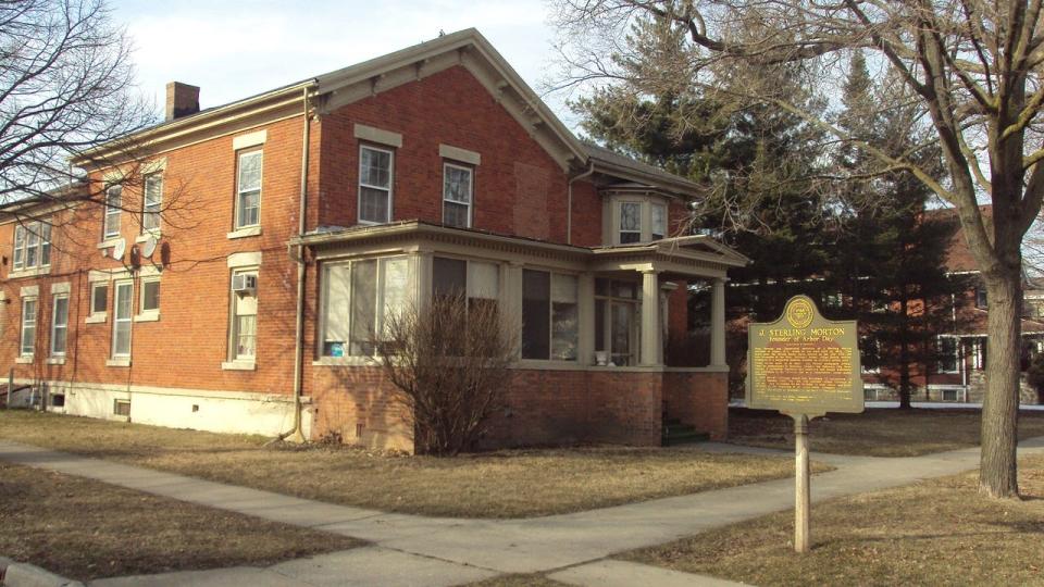
By 1830, the village of Monroe had a population of 478, but a mere four years later, it was estimated to be home to between 1,200 and 1,500 persons. Soon log structures built by Monroe’s pioneers were replaced by structures designed in popular architectural style including Greek Revival, Federal, and others – designs that were popular in the east. The Old Village Plat area was chosen as the location of Monroe’s core because of its location three miles upstream on the River Raisin – on higher, more fertile ground than the marshland east of the village near the lake.
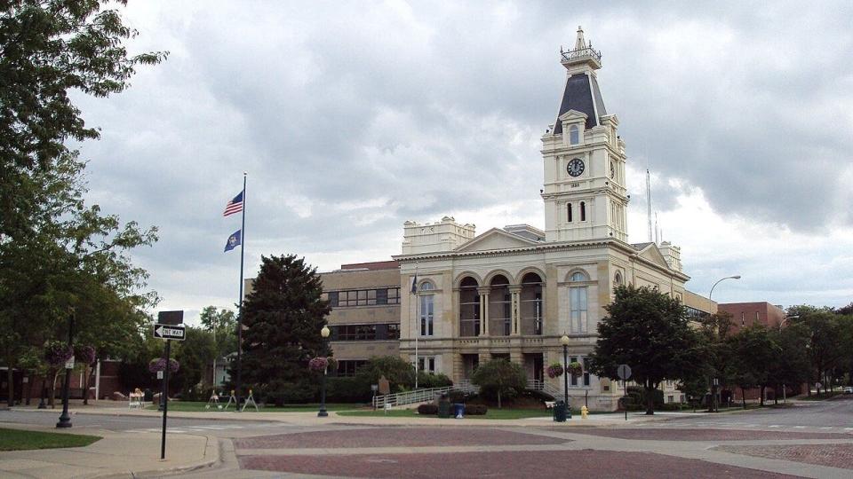
The Old Village Plat also reflects the result of title disputes involving the lands of the original Monroe settlement that were destroyed or abandoned during the War of 1812. In 1817, Joseph Loranger donated the land for the Old Village Plat. This coincided with the creation of Monroe County by Michigan Territorial Gov. Lewis Cass. The county was named in honor of an expected visit from President James Monroe. Loranger’s donation of deeded public lands, streets and alleys established the foundation for Monroe. Then, the Old Village Plat was officially laid out by Henry Disbrow who used a conventional gridiron approach to plat the land – with a public square one block east of the main street connected to the French Ribbon Farm Settlement pattern to the south and west.
The Old Village Plat’s street names and basic layout of the village represent cultural traditions. Hull’s Trace began as an Indian trail, then a military road, and is near what we now identify as Dixie Highway. The French-built road running along the north bank of the River Raisin was once called River Street; now it is known by all as Elm Avenue. Front Street runs parallel to the south bank of the river – so-named because of its position at the front of the newly platted town.
Monroe’s numbered streets from First to Ninth follow the New York tradition. Its cross streets are named after famous generals (Macomb, Cass, Winchester, Scott), presidents (Washington, Adams), and early settlers (Navarre, Humphrey, Bacon, Godfroy, Noble, Sackett). Kentucky Avenue was named in honor of the many troops from that state who fought and died in the River Raisin Massacre.
Tom Adamich is president of Visiting Librarian Service, a firm he has operated since 1993. He also is project archivist for the Greening Nursery Co. and Family Archives and the electric vehicle awareness coordinator at Monroe County Community College.
This article originally appeared on The Daily Telegram: Monroe's core history can be traced to Old Village Plat

