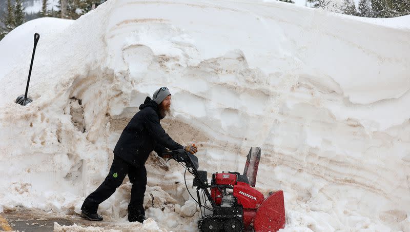
More moisture is headed to Utah, the West. Will it help Lake Powell?

Lake Powell is currently close to 180 feet below full pool and coming off a summer last year where several boat ramps were closed and owners were advised to retrieve their houseboats from the docks.
Releases from a couple of upstream reservoirs, including Flaming Gorge, were made last summer to help the nation’s second largest reservoir and its Glen Canyon Dam, which provides power generation to Wyoming, Utah, Colorado, New Mexico, Arizona, Nevada and Nebraska.
Related
A Monday briefing from the drought integrated information center of the National Oceanic and Atmospheric Administration said there is wet relief on the way for Lake Powell, which typically gets its maximum flows well into July.
“So back in early December, the forecast was suggesting maybe perhaps below average streamflow into Lake Powell for that April through July period,” said Joel Lisonbee, the regional drought information coordinator for NOAA. “But as we have seen the snowpack increase, those forecasts have increased the expected inflow we’re sitting at. We are currently expecting above average inflow, but pretty far from the record we set in 1984.”
Those expectations increased due a well above average snowpack for the Upper Colorado River Basin, which is sitting at 132% of average. The Upper Colorado River Basin includes Utah, Wyoming, Colorado and New Mexico.
Related

“We’re still a month away from the average peak of the snowpack season,” Lisonbee said. “The Upper Colorado River Basin is still pretty far from setting any records, but it is better than what we have seen in the last several years and we’re pretty happy with where the snowpack is at the moment.”
The eastern basins of Utah are showing robust numbers in terms of snowpack, with some of that moisture headed Lake Powell’s way.
The Duchesne basin sits at 165%, Price-San Rafael is at 182% and the South Eastern basin is at 209%, according to the Utah Snow Survey of the Natural Resources Conservation Service.
Related
“That is really what we are going to be watching is how the current snowpack makes it down to these reservoirs,” Lisonbee said.
He added that two Western states finished in the top 10 for the wettest winters: Nevada sitting at eighth and Utah in the ninth spot.
“So it has really been a nice winter across most of the Western United States.”
There’s also been phenomenal snowpack in the Great Basin region, which has areas that feed into the Great Salt Lake with groundwater.
“One of the real standouts is the Great Basin. ... We’re now sitting at the highest snowpack on record across the Great Basin for this time of the season.”
He said most of that snowpack has hit the Sierra Nevada mountains on the western edge of the basin and the Wasatch Mountains on the east.
“We wanted to do a quick comparison of just the last 10 years across the Great Basin,” he said. “In fact, just a quick back of the envelope calculation shows we have had more snow this season than we have had the last two seasons combined.”
And the snow and the rain does not show any solid chance of abating during March, as more storms are slated to sweep across the West this week.
Lisonbee said it may be that April turns into a drying period, but for now robust systems continue to dominate.


