Threat for severe weather on Tuesday is growing after a storm last week brought 12 tornadoes
Two rounds of storms are expected to roll into Wisconsin on Tuesday night and Wednesday morning. Experts at the National Weather Service say the elements needed for another severe weather event, similar to one that brought a handful of tornadoes to southern Wisconsin last week, are already lining up.
“There are still some factors that we are waiting on but we are already starting to see a lot of those ingredients that cause severe weather to happen,” said Taylor Patterson, a meteorologist with the National Weather Service.
With conditions developing in a similar fashion to last week, here is what to know about when and where the storm might hit.
Milwaukee area on low alert for severe weather
Similar to last week, the weather service has placed the Milwaukee area at a slight risk for severe weather Tuesday.
Patterson explained that with a warm front moving in on Tuesday an influx of vertical air is expected to develop in southern Wisconsin. In the Milwaukee area, this could create conditions for hail and strong winds.
At the time of writing, the weather service has stated that the Milwaukee area has a 15-29% to see hail and damaging winds. The same agency also said that a tornado in the Milwaukee area is very unlikely as there is currently a 2-4% chance of that happening.
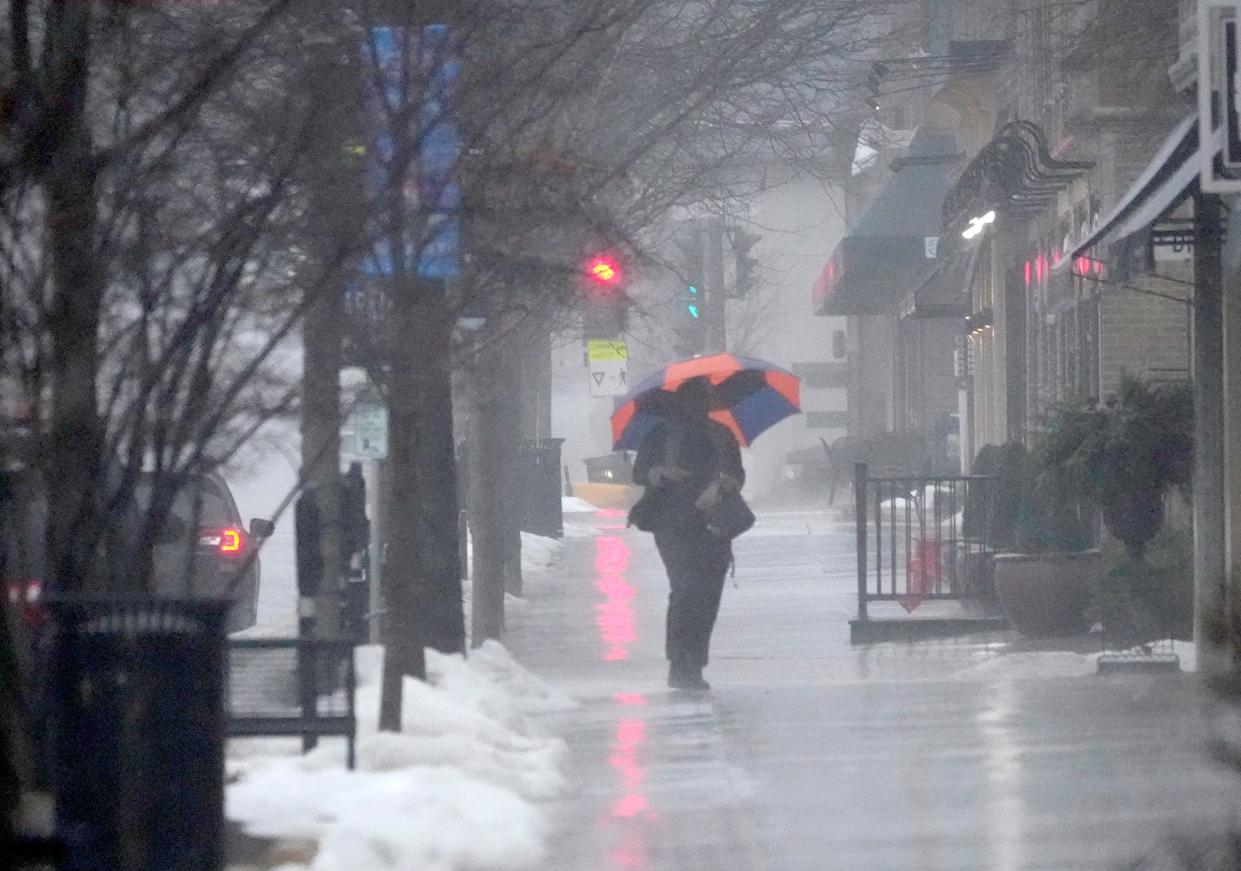
Rain is expected to start at 4 p.m. Tuesday and the peak period is likely to last from 5 to 11 p.m. The rain is expected to stop in the early hours of Wednesday morning.
On Wednesday a cold front will blow in bringing another round of rain and winds near 50 mph to the Milwaukee area. Once all is said and done, Milwaukee and other lakeshore communities could see as much as 1½ inches of rain.
While Milwaukee is currently on low alert, the weather service said once the storm arrives a chance still exists that the severity level could rise.
Twelve tornadoes were recorded in Wisconsin last week
Last week southwest and south-central Wisconsin saw large hail, damaging winds, and at least 12 confirmed tornadoes. All of the tornadoes were graded as EF-0 or EF-1, the weakest distinctions for a tornado, but noticeable damage was still seen in rural areas.
The tornadoes were among the many that took place across the southern and midwest regions of the country last week. More than 30 deaths have been confirmed in Tennessee, Arkansas, Indiana, Illinois, Alabama, Mississippi and Delaware.
Madison, Monroe and Janesville are at an enhanced risk for severe weather
The southwest and south-central portions of Wisconsin are once again at an “enhanced risk” for severe weather, according to the weather service.
Initially, places like Madison and Waukesha were expected to see a low threat for severe weather, but the weather service has since upgraded those areas to an enhanced risk.
This week the conditions aren’t quite as primed for such an explosive weather display but Patterson said that can still change.
“We are still waiting to find out some things about this storm so we don’t want to say that it won’t be as bad as last week just yet,” she said.
These areas could see large hail, winds up to 60 mph and the chance for tornadoes to form. Currently, there is a 30-44% chance to see hail and damaging winds. The chance for a tornado in south central Wisconsin is still relatively low as the weather service gives that possibility a 5-9% chance.
The likelihood of a tornado is highest in Grant County where the chance for a tornado ranges form 10-29%, with the probability increasing as you move southwest in the county.
"Southwest of Madison has the highest chance of seeing severe weather," said national weather meteorologist JJ Wood. "You can't rule out the chance for a tornado or two in that area."
Green Bay, Appleton, Wausau and surrounding areas unlikely to see severe weather
A swath of the central portion of Wisconsin, including Wisconsin Dells, Oshkosh, Fond du Lac and Sheboygan, is at a “marginal risk” for severe weather.
Areas north of that line, like Green Bay, Appleton and Wausau, could see thunderstorms, but nothing severe, according to the NWS.
Our subscribers make this reporting possible. Please consider supporting local journalism by subscribing to the Journal Sentinel at jsonline.com/deal.
DOWNLOAD THE APP: Get the latest news, sports and more
This article originally appeared on Milwaukee Journal Sentinel: More severe weather expected in Wisconsin on Tuesday

