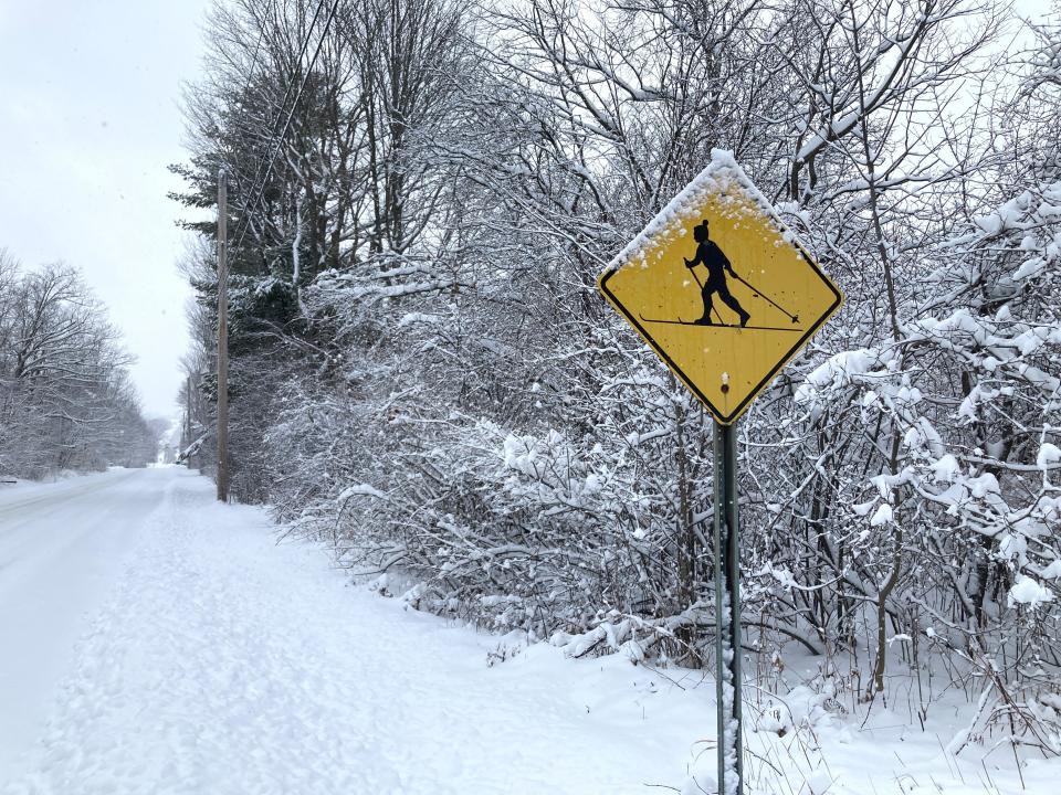
More snow in the forecast adds to Vermont's week of fresh powder
The Green Mountain State has finally become blanketed in white, and the snow keeps piling up. In the space of one week, the region will have received at least three snow storms, with much of the state projected to receive well over a foot of cumulative snow.
Final snowfall totals have been released from this most recent snow storm from Monday, Jan. 23. The measurements varied widely with spotters across the state reporting between less than an inch to nearly 14 inches of snowfall. The next storm on deck is supposed to arrive Wednesday night into Thursday. Vermonters should expect at least a few more inches of powder on top.
Snowfall totals from Monday storm
Snowfall totals are gathered from National Weather Service employees, trained spotters and the general public. When different figures were reported in the same town, the highest total is listed below.
Chittenden County:
Burlington: 2.4 inches
Charlotte: 3.5 inches
Essex Center: 3.2 inches
Hinesburg: 3.1 inches
Milton: 2 inches
Richmond: 3 inches
South Burlington: 3.8 inches
Underhill: 3.9 inches
Westford: 4.2 inches
Williston: 5 inches
Other select towns:
Montpelier: 5 inches
Randolph Center: 11 inches
Rutland: 9 inches
St. Albans: 1 inch
Stowe: 4 inches
The highest recording was in northeast Rochester at 13.9 inches and the lowest were in Swanton and Enosburg Falls at 0.6 inches.
[1/24 11 AM] Looking ahead to our next winter storm and some of the key messages on a regional level. Stay tuned for the latest local storm forecast at https://t.co/lneWkvBUCk #vtwx #nywx #snow https://t.co/nlE9KErAfv
— NWS Burlington (@NWSBurlington) January 24, 2023
What to expect with Wednesday night storm
Another snow storm is headed our way Wednesday afternoon and is expected to last through Thursday evening.
Heavy snow is possible with one inch falling per hour, most likely Wednesday evening in central and southeastern Vermont, according to the National Weather Service Burlington office. The snow could mix with sleet and freezing rain. Travel could be very difficult, especially during the Thursday morning commute.
As of Tuesday morning, accumulation totals were projected to be between 6 and 9 inches across the state. Chittenden County, north, and northeastern Vermont predictions were slightly lower. Burlington was tracking for 5.1 inches, St. Albans at 5.6, St. Johnsbury at 4.7 and Newport at 3.6 inches.
Stowe was expecting 7 inches, Montpelier and Middlebury around 6 inches and Brattleboro expecting to bring in the most at 8.5 inches.
Contact reporter April Barton at abarton@freepressmedia.com or 802-660-1854. Follow her on Twitter @aprildbarton.
This article originally appeared on Burlington Free Press: Vermont snowfall totals and next winter storm predictions

