More snow headed to Summit County and northern Ohio, forecasts National Weather Service
The snow gremlins that mistook the Akron area for Greater Buffalo last Sunday and Monday are back.
But don’t look for the foot-deep blanket that buried Summit County on Monday, bringing as much as 19 inches of the fluffy white stuff to area communities.
Here are some snow totals from last week:
• Sagamore Hills 19.3 inches
• Boston Heights 19
• Cuyahoga Falls 17
• Fairlawn 16.5
• Bath 15.9
• Tallmadge 15.7
• Barberton 10
This time, the National Weather Service is forecasting 1 to 3 inches of snow for Sunday in Northeast Ohio, with a 100% chance of some precipitation. On Monday, the forecast calls for a 60% chance of a 1- to 2-inch dusting.
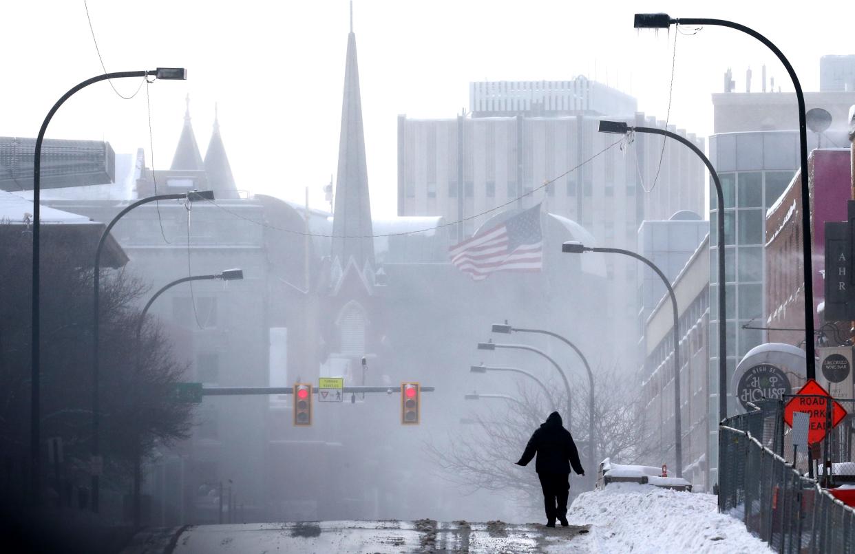
The Akron forecast comes after temperatures fell to a frigid minus 6 at 6:54 a.m. Saturday, approaching the minus 13 record for Jan 22 set in 1936. The weather service is calling for temperatures to approach zero again on Thursday night.
The prospect of new snowfall will return Friday, with a 30% chance of precipitation, the weather service forecast.
The high on Sunday is forecast at 24, with a low of 5 on Sunday night. On Monday, the high will be about 31, with a low of 20. By Wednesday night, the temperature will drop to 0, the National Weather Service said.
This article originally appeared on Akron Beacon Journal: Snow in forecast again for Akron area, says National Weather Service

