What are the most dangerous roads and intersections in Greater Akron? See the list here
The Akron Metropolitan Area Transportation Study (AMATS) has released its latest three-year analysis, revealing the region's most dangerous roads and intersections.
The report is based on AMATS’ analysis of more than 47,000 motor vehicle, bicycle and pedestrian-related crash records for area roadway sections and intersections obtained from the Ohio Department of Transportation. Crash data on interstate highways and the Ohio Turnpike was not included in the study.
For the 2020-22 report, the agency identified 144 high-crash roadway sections and 233 high-crash intersections in Portage and Summit counties and northeastern Wayne County.
More: Study: Traffic injuries on area roads dropped in 2022, but remained close to pandemic high
What are the most dangerous roads in Greater Akron?
The report lists state Route 59, from Alpha Drive to state Route 261, in Portage County’s Franklin Township, and state Route 241 (Massillon Road), from Krumroy Road to Oakes Drive, in Summit County’s Springfield Township, as the two highest-ranked high-crash roadway sections in the Greater Akron area.
The overall ranking is based on the total number of crashes and the percentage of fatal and injury crashes.
On the stretch of Route 59, there were 15 crashes over the three-year period, 60% of which resulted in injuries. On the section of Route 241, there were 11 crashes, just under 55% of which resulted in injuries.
Greater Akron gridlock: New study reveals where you're most like to get stuck in traffic
The section of Route 59 (Kent Road) from state Route 91 (Darrow Road) to Fishcreek Road in Stow had the highest number of crashes in the study area, with 92 over a three-year period, 33% of which caused injuries.
A one-third-mile stretch of state Route 14 in downtown Streetsboro, including where state Route 303 meets Route 14, had the highest number of crashes per mile per year. It's ranked 45th on the overall list, with 32% of crashes there causing injuries.
Five road stretches in Akron are among the area's top 10 high-crash roadway sections based on the number of crashes per mile per year:
Martin Luther King Boulevard (state Route 59) from the West Market Street overpass to North Broadway Street (second)
South Arlington Street from East Waterloo Road to East Wilbeth Road (third)
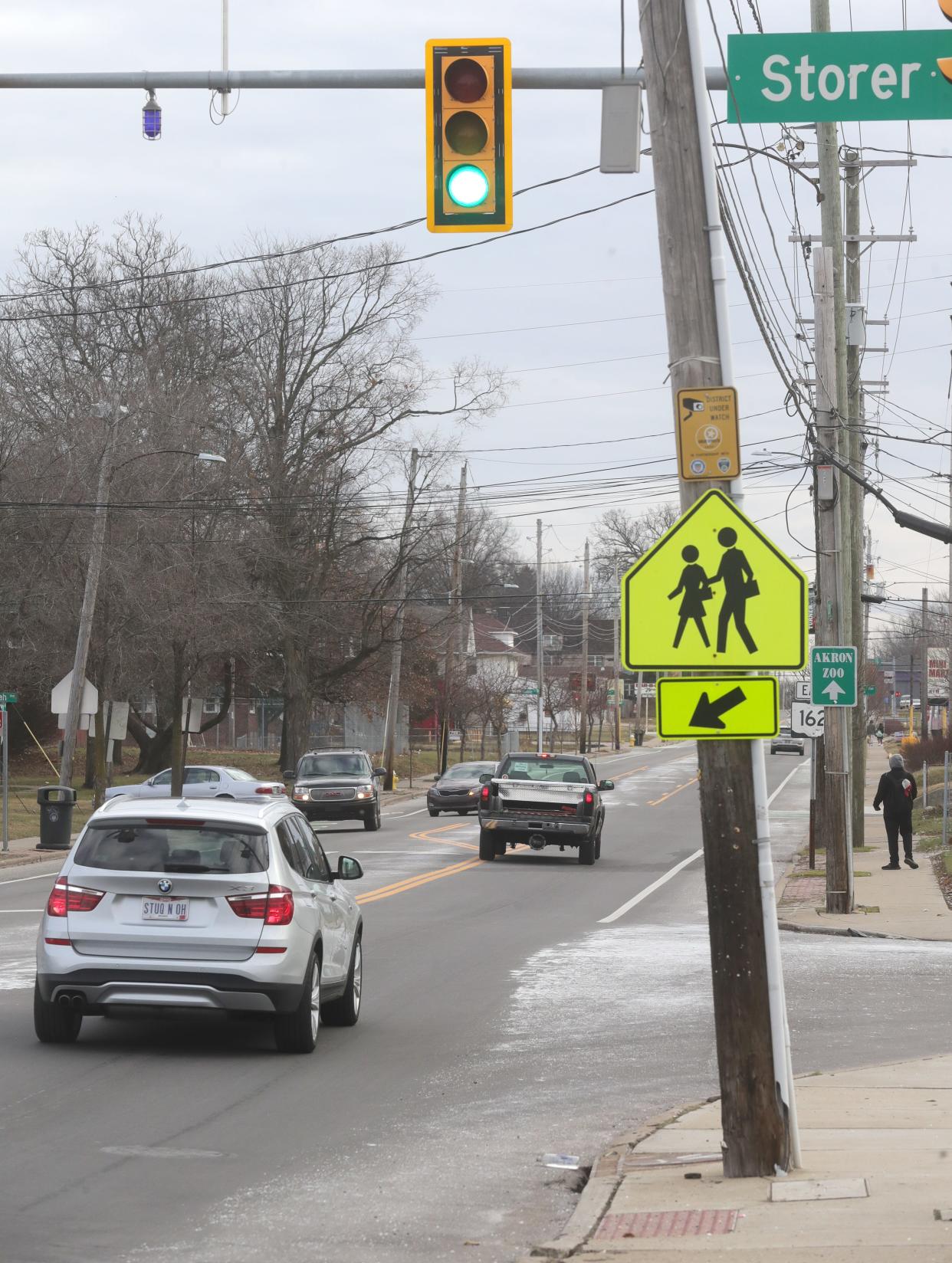
Copley Road from Storer Avenue to East Avenue (fifth)
Manchester Road from Robinson Avenue to Carnegie Avenue (sixth)
Merriman Road/Riverview Road from North Portage Path to Smith Road (10th)
Other top 10 roadway sections with high crashes per mile include: East Main Street from Horning Road to Kent's eastern border (fourth); West Market Street from Miller Road to the eastern Fairlawn's eastern border (seventh); East Main Street from Freedom Street to state Routes 14/44 in Ravenna (eighth); and State Road from Cuyahoga Falls' southern border to Broad Boulevard (ninth).
More: Ohio roadways see more fatal crashes on these holidays, study says
Which local intersections are the most dangerous?
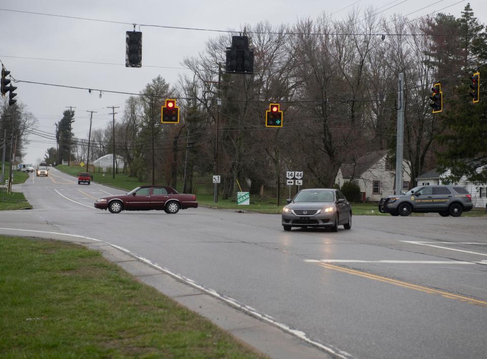
The intersections of Route 14 and Route 44 (North Chestnut Street) in Ravenna and Riverview and Ira roads in Cuyahoga Falls rank first and second, respectively, for the most dangerous intersections in the region. The overall rank is based on the number of crashes and the number of resulting injuries.
At the Route 14/44 intersection, there were 37 crashes, placing it eighth in the overall number of crashes at an intersection. Of those crashes, 57% resulted in injuries. There were 20 crashes at the Riverview and Ira roads intersection, with 65% resulting in injuries.
The highest-ranking Wayne County intersection is state Route 57 (Wadsworth Road) and Easton Road in Chippewa Township, which places seventh in the list. Of the 15 crashes there, 80% resulted in injuries.
The Route 14 and Mondial Parkway/Singletary Drive intersection in Streetsboro had 47 crashes, the highest total number in the study. It was ranked 59th most dangerous overall, with 34% of the crashes resulting in injuries.
Ranked 69th overall, the North Arlington Street and East North Street interchange in Akron had 10 crashes. However, nine of those crashes resulted in injuries, making it the top-ranked with respect to percentage of injury crashes.
Akron intersections dominated the top 10 with respect to overall number of crashes:
South Broadway Street and East Exchange Street (second)
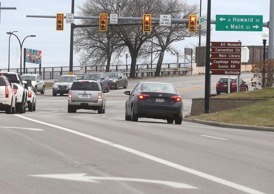
North Howard Street and North Street (third)
South Main Street and Wilbeth Road (fourth)
South Main Street and Thornton Street (tied for sixth)
Martin Luther King Boulevard and North High Street (tied for sixth)
Perkins Street and the state Route 8 southbound ramps/Goodkirk Street (eighth)
South Arlington Street and East Waterloo Road (10th)
Rounding out the top 10, Graham Road and Wyoga Lake Road/Oakwood Drive in Cuyahoga Falls is tied in fourth place in the number of crashes, and in Ravenna Township, the Route 14 and Route 44 N. Chestnut Street intersection is tied in eighth place for number of crashes.
More: Speed tables returning to Akron streets
Eric Marotta can be reached at emarotta@gannett.com.
This article originally appeared on Akron Beacon Journal: Here are the most dangerous roads and intersections in Greater Akron

