Main clear Tuesday night with temps. in the upper 50s; Humidity returns to end the week
QUICK-LOOK FORECAST:
Warm and sunny Wednesday
90s return on Thursday
Chances for storms Friday through Sunday
>>TRACK THE LATEST CONDITIONS: Live Doppler 7 Radar
Air Quality Alert has been issued for Butler and Warren Counties until midnight Wednesday
DETAILED FORECAST:
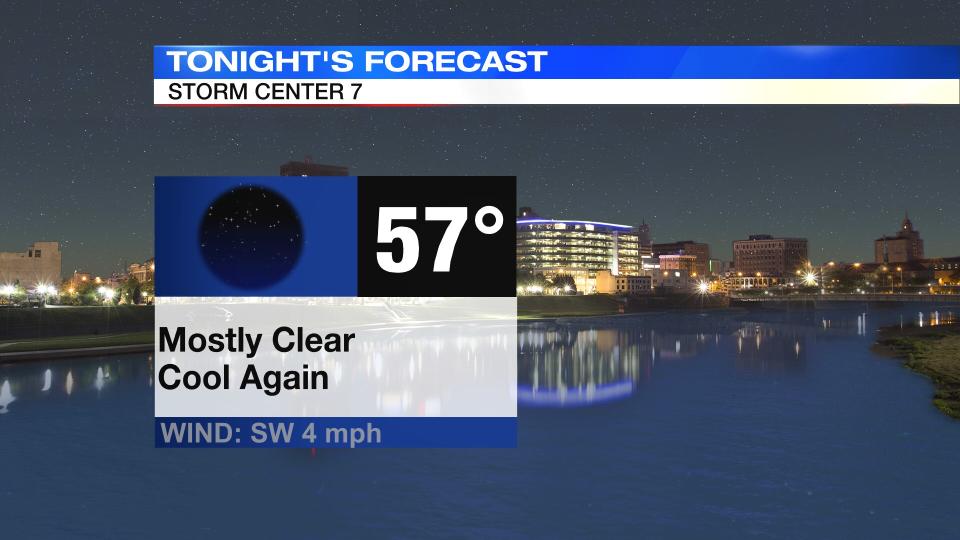
TONIGHT: Mainly clear, cool and comfortable tonight, lows in the upper 50s according to Storm Center 7 Chief Meteorologist McCall Vrydaghs.
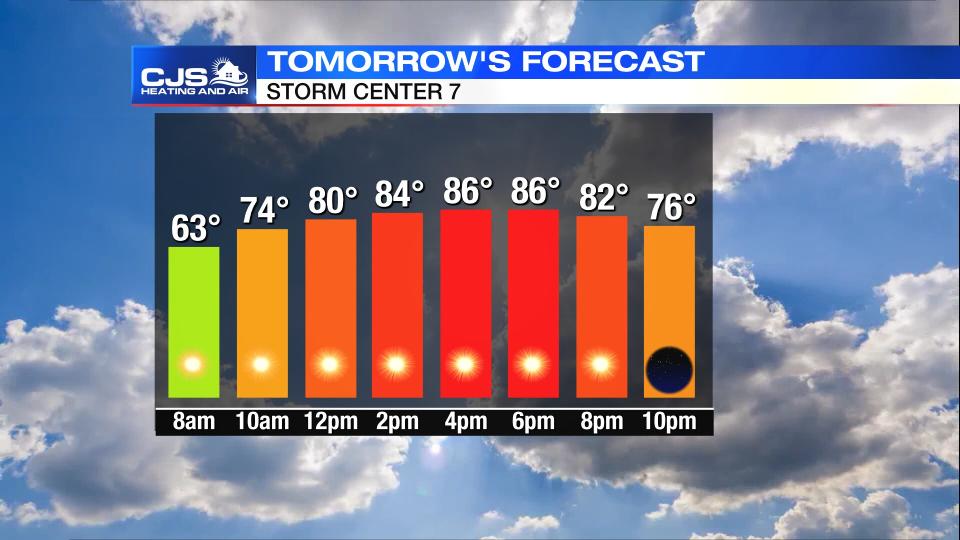
WEDNESDAY: Mostly sunny skies, a few clouds pass through the northern Miami valley. Warming trend continues with high temperatures in the mid-80s. Dry Wednesday night with lows in the lower 60s.
THURSDAY: Climbing back to the lower 90s on Thursday. We’ll see sunshine and highs around 90 degrees. Humidity starts to tick up a bit as well.
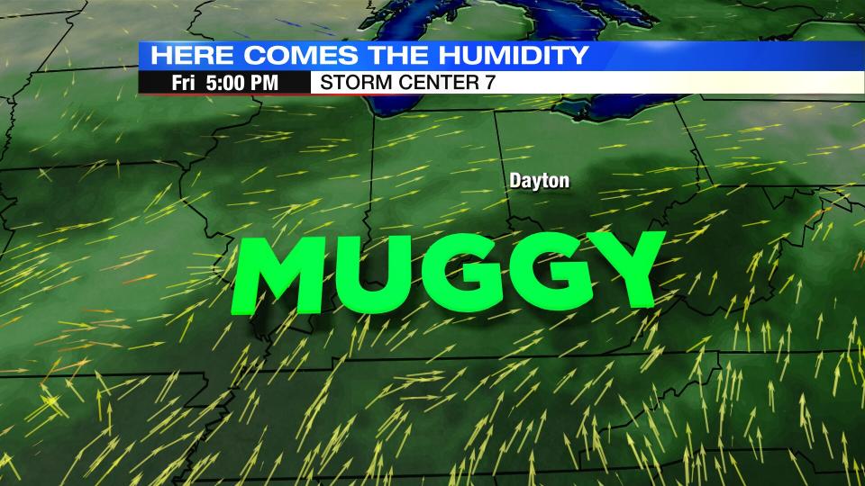
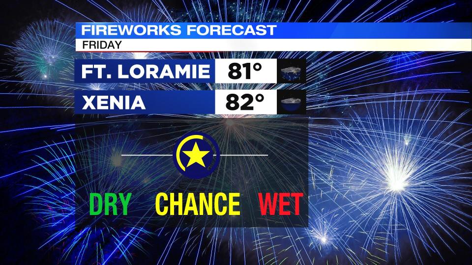
FRIDAY: Partly sunny with a storm possible late in the day. Highs in the lower 90s, but feeling more like the middle to upper 90s with the humidity.
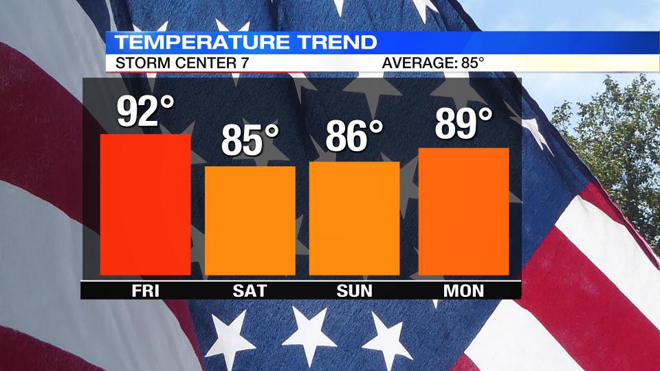
SATURDAY: Partly to mostly cloudy with scattered showers and thunderstorms. Warm and muggy with highs in the middle 80s.
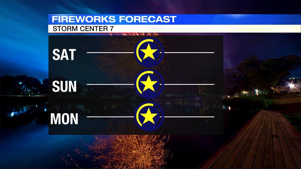
SUNDAY: Partly sunny with a storm possible. The best rain chances will be south of I-70. Highs in the middle 80s.
MONDAY: Partly cloudy and very warm for Monday with highs in the upper 80s. A passing shower or storm is possible.
TUESDAY: Partly cloudy and very warm with highs in the upper 80s. A passing shower and storm is possible.

