How much rain did Sedgwick County get Tuesday night? See rain totals, drought update
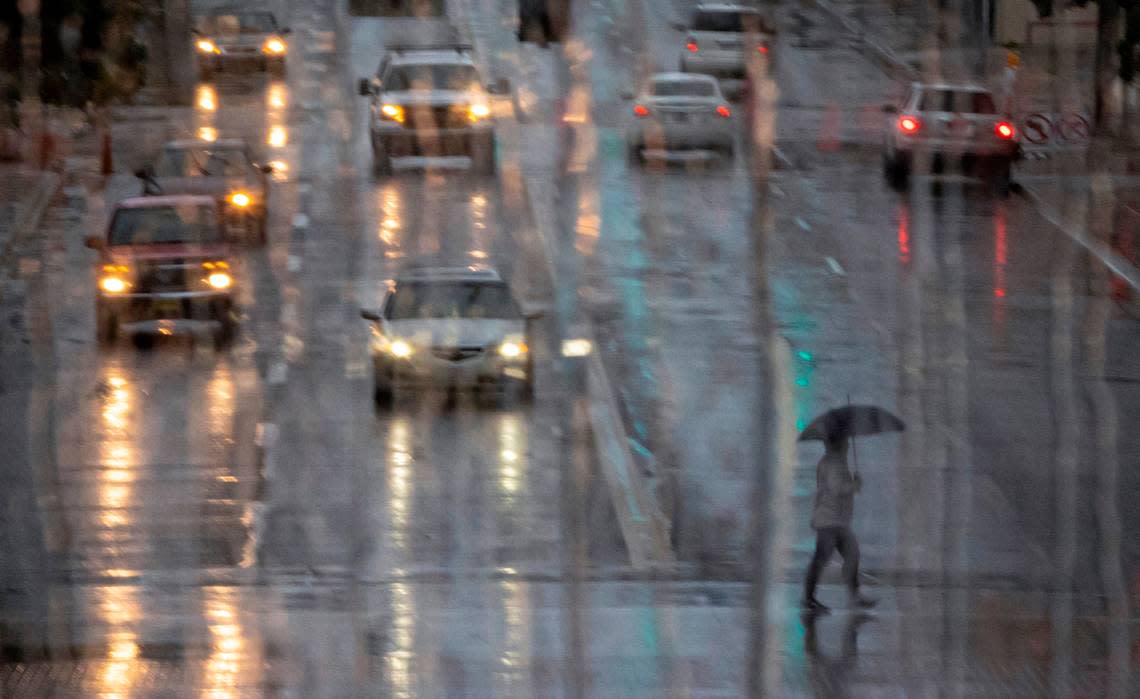
As Kansas continues to experience a drought, Tuesday night’s storm provided the Wichita area with some much-needed rain.
While the official recorded total — taken at Wichita Dwight D. Eisenhower National Airport — was 1.16 inches, the National Weather Service got reports of around 3 inches across Sedgwick County, specifically 3.2 inches near Colwich and 2.9 inches near Valley Center.
“Those were some of the higher amounts that we had, anywhere kind of between 2 to above 3 inches, throughout especially the northern part of the county,” NWS forecaster Vanessa Pearce told the Eagle Wednesday morning.
Including the 1.16 inches reported after last night’s storm, that brings the current year’s total rainfall to about 5 inches below normal.
“It’s a good amount, but ... we still have a little bit to go,” Pearce said.
The forecaster noted if you look at precipitation levels since June, this summer’s rainfall amounts are looking above normal.
Even with Tuesday night’s rain, the county is still experiencing a drought, with the northeast half of the in an “extreme drought” and the southwest in moderate drought status, according to the weather service.
As of 710AM...most of the storms have moved out of the Wichita and Hutch metros. Most of the activity with heavy rain is now located over Marion/Chase/Wilson/Woodson/Allen and Neosho counties. Be on the lookout for flooded roads and low water crossings. #kswx
— NWS Wichita (@NWSWichita) August 9, 2023
Drought in Kansas
Kansas has been experiencing drought-like conditions for more than a year.
“I’d say about August of last year, we started to see more noticeable impacts of extreme to moderate drought in [the] southern, southeastern part of Kansas, [and] it just spread out,” NWS forecaster Janet Salazar told the Wichita Eagle in June.
Some relief from the drought was expected by late summer, but not enough to officially put an end to the conditions.
Another change could be due to the transition to the El Niño weather pattern, which could bring lower-than-average temperatures to the area. El Niño occurs when water in the central Pacific Ocean is warmer than usual, affecting weather worldwide.
The U.S. Drought Monitor, last updated with data through Aug. 1, shows much of Kansas is experiencing drought.
Note: This graphic will automatically update as new data becomes available.
The drought in the state has led to Wichita officials to take measures to preserve the city’s water. You can visit the city’s website for tips on how to conserve as the drought continues.
When can Wichita expect the next heatwave?
After weeks of triple-digit heat, Wichita saw less intense temperatures in recent days, but that could soon change, Pearce said.
The normal this time of year is around 92 degrees, but Wichita will see heat back to the mid- to upper-90s starting this weekend.
“You’ll have the higher values, and near to above normal, and kind of cool down a little bit, and back up again,” Pearce said. “[That’s] how it goes around here.”
Looking at the forecast, Wichita is expected to see a high of around 94 degrees Friday and of 95 Saturday. Sunday could see a high of 92, while Monday will be a little cooler, with a high of 88 degrees. Tuesday is expected to see a high of 91.
