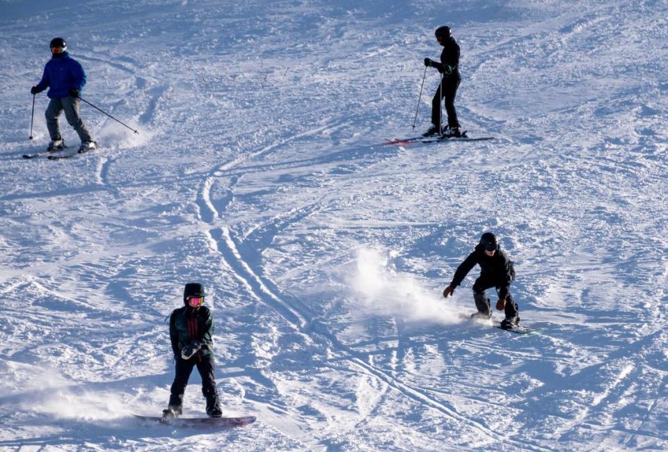
How much snow has Tahoe gotten so far? See the totals — and the latest forecast
More than 15 inches of snow blanketed parts of the Tahoe area over the Martin Luther King, Jr., Day holiday weekend, according to the latest totals.
According to the National Weather Service’s snow totals, Palisades Tahoe ski resort saw the most snowfall on Saturday — recording 17 inches.
Nearby Castle Peak recorded 16 inches of snow, Sugar Bowl saw 14 inches and Sierra-at-Tahoe received 6 inches, the weather service said.
More snow is expected to fall over the region this week.
According to the weather service, the Tahoe area may see 3 to 6 inches of snow from Tuesday night to Wednesday. Snow levels are expected to initially hit 6,500 to 8,000 feet before lowering to 5,000 to 6,000 feet on Wednesday.
The weather service said drivers may be warned to use chains, explaining that gusty winds and blowing snow are expected near mountain passes.
Here are some 24 hour rain and snowfall totals! For a more detailed list and a zoomable map, visit https://t.co/ZEyYDqSRbh. #CAwx pic.twitter.com/FHSwlsBV6C
— NWS Sacramento (@NWSSacramento) January 14, 2024
How much snow has already fallen in Tahoe ski resorts?
As of Tuesday afternoon, ski resorts in the Tahoe region have recorded the following snow totals for this season:
Sugar Bowl Ski Resort: 91 to 126 inches of snow
Kirkwood Mountain Resort: 95 inches
Heavenly Mountain Resort: 66 inches
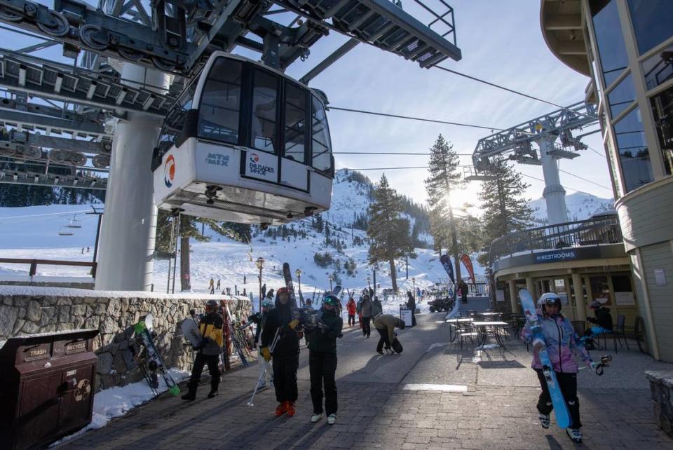
Palisades Tahoe: 101 inches
Mt. Rose Ski Tahoe: 79 to 107 inches
Northstar California Resort: 97 inches
What’s the snowpack in the Sierra Nevada?
As of Sunday, the UC Berkeley Central Sierra Snow Laboratory recorded 9.6 inches of new snow over the past 24 hours.
The research field station is at an elevation of 6,894 feet in the Sierra Nevada.
“We experienced drizzle/light rain that soaked the new snow, made it more dense and created a surface crust,” the lab wrote in a Sunday morning post on X, formerly known as Twitter.
As of Tuesday, the area had received 59% of average snowfall to date, according to the lab’s website.
We've had 9.6" (24.5 cm) of #snow in the last 24 hours . We experienced drizzle/light rain that soaked the new snow, made it more dense, and created a surface crust.
There's another potential storm on Tues/Weds that's looking like it could be primarily rain.#CAwx #CAwater pic.twitter.com/Z1z0XCn3OK— UC Berkeley Central Sierra Snow Lab (@UCB_CSSL) January 14, 2024
What’s in the weather forecast for Tahoe City?
In the Tahoe City area, there’s a 30% chance of rain after 4 p.m. on Tuesday, according to the National Weather Service.
The snow level is expected to rise from 6,600 feet to 7,100 feet.
There’s a chance of rain and snow at night with the snow level lowering from 7,900 to 7,300 feet.
The high temperature for the day will be near 41 degrees, while the low temperature will be 33 degrees.
Wednesday will also see a chance of rain and snow, with a high near 38 and a low near 28.
Thursday will be partly sunny with a high near 44 and a low around 35, the weather said.
Snow and rain are expected to return on Friday and continue through Jan. 22.
What about South Lake Tahoe?
According to the weather service, the South Lake Tahoe area will see a similar forecast.
There’s a 30% chance of rain after 5 p.m. on Tuesday with the snow level at 6,700 feet rising to 7,300 feet.
Rain and snow could continue into the night with the snow level at 8,500 feet lowering to 7,600 feet after midnight.
The high and low temperatures will be near 44 and 27 degrees, respectively.
Rain and snow are expected Wednesday morning with a high near 41 and a low near 23.
After Thursday, the weather service predicted mostly sunny skies with a high near 47 and a low around 29.
Rain and snow are expected to return Friday and continue through the weekend.
What do you want to know about life in Sacramento? Ask our service journalism team your top-of-mind questions in the module below or email servicejournalists@sacbee.com.

