NASA's twin spacecraft will go to the ends of the Earth to combat climate change
NASA is preparing to send two tiny twin spacecraft to the ends of the Earth to collect data that'll aid in the fight against climate change.
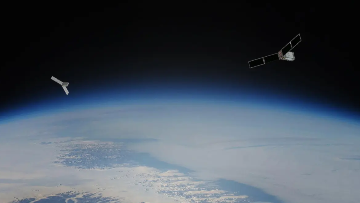
The shoebox-sized satellites, or "Cubesats," in the Polar Radiant Energy in the Far-InfraRed Experiment (PREFIRE), will blast off during the Spring of 2024. Reaching an altitude of between 292 and 403 miles (470 and 650 kilometers) over Earth, the two spacecraft will sit in near-polar orbits, crisscrossing each other in the atmosphere.
For the first time, PREFIRE will measure the full spectrum of heat lost from Earth’s polar regions. These frigid areas of our planet effectively act as Earth's thermostat, regulating the climate by venting excess energy received in the tropics. In a nutshell, PREFIRE will make our climate models more accurate — a very important goal as our planet continues to inorganically warm due to human activities.
Related: SpaceX launches NASA's PACE satellite to study Earth's oceans, air and climate (video)
"We have the potential to discover some fundamental things about how our planet works," Brian Drouin, deputy principal investigator for the mission at NASA's Jet Propulsion Laboratory in Southern California, said in a statement. "In climate projections, a lot of the uncertainty comes in from what we don’t know about the North and South poles and how efficiently radiation is emitted into space. The importance of that radiation wasn’t realized for much of the Space Age, but we know now and are aiming to measure it."
Earth's average global temperature is rising, a direct result of greenhouse gases getting released into the atmosphere due to human activity, primarily through the burning of fossil fuels.
And even though global warming poses a risk to humans and wildlife all over the planet, there is nowhere on Earth that is feeling the impact of climate change more than the Arctic. Since the 1970s, this polar region, located in the northernmost part of Earth, has warmed 3 times faster than anywhere else in the world. As a result, winter sea ice in the Arctic has reduced by over 15,900 square miles (41,200 square kilometers) per year, which constitutes a loss of 2.6% per decade.
Things are similarly bleak at the opposite end of Earth, the Antarctic. In this southern polar region, ice sheets are losing mass at an average rate of about 150 billion tons per year.
The changes in these polar regions have ramifications across the globe, influencing the temperature as well as circulation of the ocean.
Water coming from melted ice sheets in Antarctica and Greenland has accounted for around a third of sea-level rise since 1993. Rising sea levels have both direct and indirect impacts on humans, especially for people in coastal communities. Coastal flooding increases the risk of injury, and even mortality; it can also cause nearby bodies of water and landforms to be contaminated with untreated wastewater.
In certain regions, coastal flooding also fosters the right habitat for mosquitoes, increasing risks of exposure to serious insect-borne diseases like West Nile virus. Additionally, loss of land can damage transportation infrastructure, impacting access to health care and public services and compromising industries like agriculture and tourism.

"If you change the polar regions, you also fundamentally change the weather around the world," Tristan L'Ecuyer, PREFIRE principal investigator and University of Wisconsin-Madison scientist said. "Extreme storms, flooding, coastal erosion — all of these things are influenced by what’s going on in the Arctic and Antarctic."
So, to understand these changes, predict them and limit their effect, scientists need to factor in a wealth of physical processes into highly accurate climate models. However, projections are currently impacted by a lack of data regarding how efficiently the poles radiate heat into space. Here's where NASA's twin spacecraft concept comes in.
By following different paths around the globe, overlapping at the poles every few hours, the PREFIRE spacecraft can maximize coverage of polar regions. Employing technology similar to that used by the Mars Climate Sounder on NASA's Mars Reconnaissance Orbiter, the twin spacecraft will also be capable of monitoring far-infrared wavelengths that have never been systematically measured before.
These wavelengths are responsible for 60% of energy flowing into space from our planet's polar regions.
This means PREFIRE should be able to supply new data on a range of climate variables including atmospheric temperature, surface properties, water vapor and clouds, filling a huge gap in climate models and granting scientists a more accurate picture of climate change.
RELATED STORIES:
— NASA searches for climate solutions as global temperatures reach record highs
— Earth is getting hotter at a faster rate despite pledges of government action
— NASA taps SpaceX to launch PACE satellite to study Earth's oceans, climate change
The two PREFIRE spacecraft are set to launch from New Zealand in May, with the satellites lifting off separately and two weeks apart.
"As our climate models converge, we'll start to really understand what the future’s going to look like in the Arctic and Antarctic," L'Ecuyer concluded.

