National Hurricane Center keeping eye on 4 tropical waves, including 1 in Caribbean
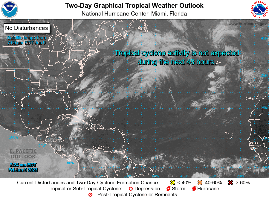
For another morning, there are no disturbances on the National Hurricane Center's tropical outlook map.
No new tropical cyclones are expected to develop over the next seven days.
Forecasters are keeping an eye on four tropical waves, three in the Atlantic and the fourth in the Caribbean.
The next storm of the season will be Bret.
Here's the latest update from the NHC as of 8 a.m. June 9:
What's out there and where are they?
Tropical wave 1: A tropical wave in the eastern Atlantic is located just off the coast of Africa west of Guinea. It's moving west at 11 mph. Exact location: 15W from 10N south.
Tropical wave 2: Another tropical wave in the central Atlantic is located between Grenada and Cabo Verde. It's moving west at 13 mph. Exact location: 38W from 12N south.
Tropical wave 3: A third tropical wave in the Atlantic is located immediately east of Grenada. It's moving west at 13 mph. Exact location: 58W from 12N south.
Tropical wave 4: A tropical wave in the Caribbean is located south of Jamaica and northeast of Panama. It's moving west at 13 mph. Exact location: 77W from 12N south.
NOAA's hurricane season forecast: NOAA predicts 'near normal' hurricane season with 12-17 named storms and 5-9 hurricanes
Who is likely to be impacted?
Do you live in an evacuation zone? How do you know if you live in an evacuation zone? We explain how to find your zone
It's too early at this time to determine if there will be any impact to the U.S. from the tropical waves.
Forecasters urge all residents to continue monitoring the tropics and to always be prepared.
Where do named storms usually develop from June 1-10?
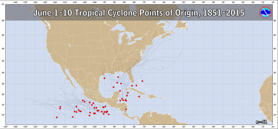
From 1851 through 2015, NOAA records show that from June 1 through June 10, most storms originate in the Gulf of Mexico or western Caribbean.
Weather watches and warnings issued for your area
If you can't see any local weather warnings here, you'll need to open this story in a web browser.
Why was Tropical Storm Arlene the second storm of the 2023 hurricane season?
On the second day of the 2023 Atlantic hurricane season, Tropical Storm Arlene formed in the Gulf of Mexico. The Atlantic hurricane season started June 1.
While Arlene is the first named storm of the 2023 season, it's actually the second storm to form in the Atlantic basin, which encompasses the Atlantic north of the equator, Caribbean Sea and Gulf of Mexico.
A subtropical system formed in January in the North Atlantic. Since the designation came during a post-storm analysis, it was not given a name but will be recorded as an Unnamed Storm.
When is the Atlantic hurricane season?
The Atlantic hurricane season runs from June 1 through Nov. 30.
When is the peak of hurricane season?
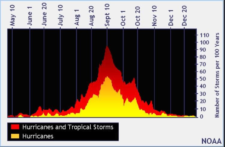
The peak of the season is Sept. 10, with the most activity happening between mid-August and mid-October, according to the Hurricane Center.
Tropical forecast over the next seven days
Excessive rainfall forecast
What's out there?
Systems currently being monitored by the National Hurricane Center.
What's next?
We will continue to update our tropical weather coverage daily. Download your local site's app to ensure you're always connected to the news. And look at our special subscription offers here.
This article originally appeared on Florida Times-Union: Tropics watch: NHC tracking 4 tropical waves, including 1 in Caribbean

