National Hurricane Center watching 5 tropical waves but no development expected over next 5 days
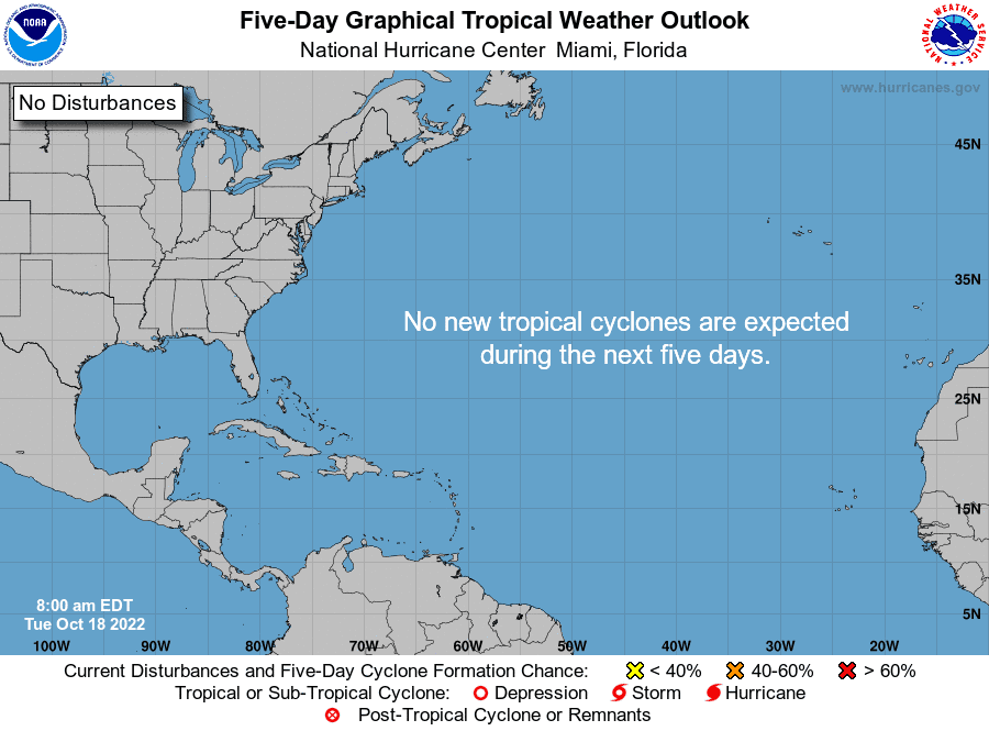
For the second day in a row, the National Hurricane Center is showing no tropical disturbances on its maps.
"No new tropical cyclones are expected during the next five days," according to forecasters.
The Hurricane Center is keeping an eye on five tropical waves, including two in the Caribbean.
► Your guide to preparing for the 2022 hurricane season in Florida
The peak of the 2022 Atlantic hurricane season runs from mid-August to mid-October. That doesn't mean tropical storms or hurricanes can't form after that time.
Storms that develop in late October generally form closer to the U.S., as opposed to systems earlier in the season which move across the Atlantic.
A strong fall cold front extends from northeast Florida southwest into northeast Mexico.
Florida cold front: Strong storms ahead of cold front generate tornado. Some areas under freeze watch
This front will continue to surge southeast, reaching the Yucatan Channel by Wednesday afternoon. Strong northerly winds behind the front are expected to increase to gale force in the far western Gulf by early this afternoon.
Gale-force winds will continue to surge south as the front progresses, reaching the western Bay of Campeche by late tonight and continuing there through late Wednesday night.
Very rough seas, peaking to around at 17 feet, are expected near the strongest winds.
Ian's power left lasting damage: Photos reveal how Hurricane Ian flooded, pummeled and destroyed parts of Florida
'Cost for living in paradise.' After Hurricane Ian, will Florida residents build back better?
What the science says: Is climate change fueling massive hurricanes in the Atlantic?
Here's the latest update from the NHC as of 8 a.m. Oct. 18:
What's out there and where are they?
Tropical wave 1: The axis of a far eastern Atlantic tropical wave is moving westward at about 17 mph. This wave is surrounded by a very moist and unstable environment.
Tropical wave 2: A central Atlantic tropical wave is moving west at 13 mph. This wave is also surrounded by a very moist and unstable environment.
Tropical wave 3: A western Atlantic tropical wave is moving slowly to the west.
Tropical wave 4: A central Caribbean tropical wave is moving west at 11 mph. Scattered showers and thunderstorms are reported.
Tropical wave 5: The northern part of an eastern Pacific tropical wave protrudes into the western Bay of Campeche. Numerous moderate to isolated strong convection is increasing over southeastern Mexico and the southern section of the Bay of Campeche.
Who is likely to be impacted?
It's too early at this time to determine if there will be any impact to the U.S. from the tropical waves.
Forecasters urge all residents to continue monitoring the tropics and to always be prepared during what's expected to be an active hurricane season.
When is the Atlantic hurricane season?
The Atlantic hurricane season runs from June 1 through Nov. 30.
When is the peak of hurricane season?

Although the season has gotten off to a quiet start, the peak of the season is Sept. 10, with the most activity happening between mid-August and mid-October, according to the Hurricane Center.
Weather watches and warnings issued for your area
If you can't see any local weather warnings here, you'll need to open this story in a web browser.
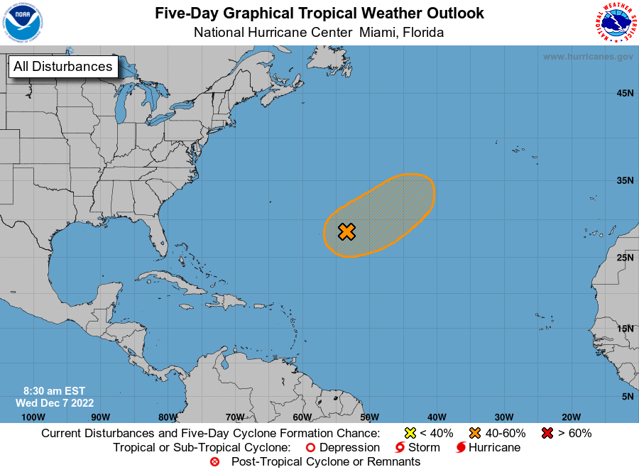
Tropical forecast over next five days
See the National Hurricane Center's five-day graphical tropical weather outlook below.
Excessive rainfall forecast
What's out there?
Systems currently being monitored by the National Hurricane Center.
What's next?
We will continue to update our tropical weather coverage daily. Download your local site's app to ensure you're always connected to the news. And look at our special subscription offers here.
This article originally appeared on Palm Beach Post: Tropics watch: NHC tracking 5 tropical waves. No development expected

