National Hurricane Center watching system off Florida, warns of dangerous surf, rip currents along Southeastern U.S.
It may be a rainy day Memorial Day weekend.
A non-tropical low pressure system about 150 miles south of Charleston, South Carolina, continues to produce gusty winds and disorganized showers and thunderstorms over portions of the southeastern United States and western Atlantic Ocean, according to the National Hurricane Center. This low is expected to remain a frontal system while it moves northward and inland over the Carolinas tonight or early Sunday.
Even though development into a subtropical or tropical cyclone is not expected, the system will produce gusty winds and dangerous surf and rip current conditions along portions of the southeastern United States coast through Sunday. Heavy rainfall is expected in portions of the Carolinas and Virginia during the next couple of days. Hazardous marine conditions are also expected over the coastal and offshore waters where gale and storm warnings are in effect.
Retired hurricane names. These will never, ever be used again. Is your name on the list?
Will hurricane season start early? Decade of hurricane seasons saw 7-year streak of early starts, Greek alphabet & January storms
NOAA forecast for 2023: NOAA predicts 'near normal' hurricane season with 12-17 named storms and 5-9 hurricanes
Will system off coast of Florida strengthen into a tropical depression or tropical storm?
The system is unlikely to become a subtropical or tropical storm as it moves north along the coast, according to NHC forecasters.
The first named storm of the 2023 Atlantic hurricane season will be Arlene.
Hurricane hacks: These 5 TikToks can help you prepare for hurricane season
WeatherTiger: 2023 hurricane season will be 'once-in-a-generation slugfest' between tropical forces
Here's the latest update from the NHC as of 8 a.m. May 27:
How likely is the system off Florida to strengthen?
Formation chance through 48 hours is low or near 0 percent.
Formation chance through 7 days is low or near 0 percent.
Who is likely to be impacted?
The system will produce gusty winds and dangerous surf and rip current conditions along portions of the southeastern United States coast through Sunday. Heavy rainfall is expected in portions of the Carolinas and Virginia during the next couple of days. Hazardous marine conditions are also expected over the coastal and offshore waters where gale and storm warnings are in effect.
Hurricane trackers: Stay prepared for the 2023 hurricane season with one of these five hurricane tracker apps
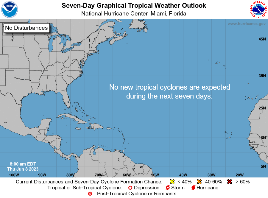
It's too early at this time to determine if there will be any impact to the U.S. from the tropical waves.
Forecasters urge all residents to continue monitoring the tropics and to always be prepared.
Weather watches and warnings issued for your area
If you can't see any local weather warnings here, you'll need to open this story in a web browser.
When is the Atlantic hurricane season?
The Atlantic hurricane season runs from June 1 through Nov. 30.
When is the peak of hurricane season?
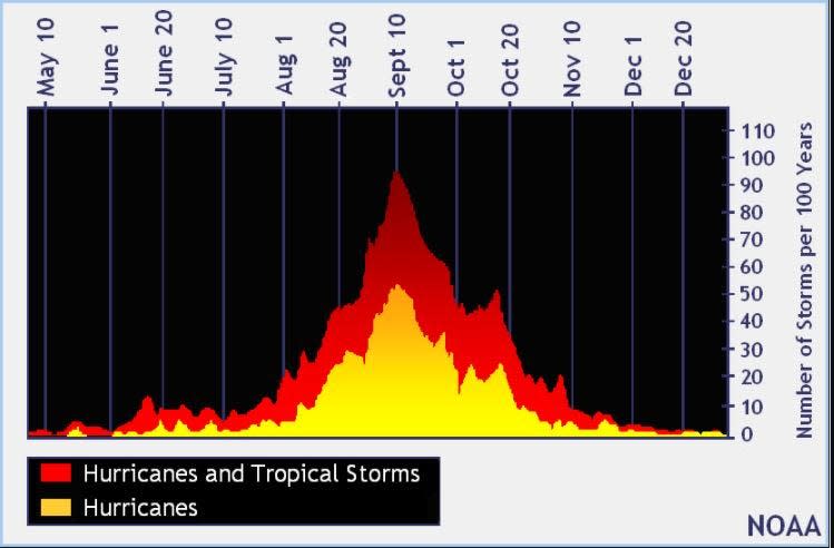
The peak of the season is Sept. 10, with the most activity happening between mid-August and mid-October, according to the Hurricane Center.
Tropical forecast over the next seven days
Excessive rainfall forecast
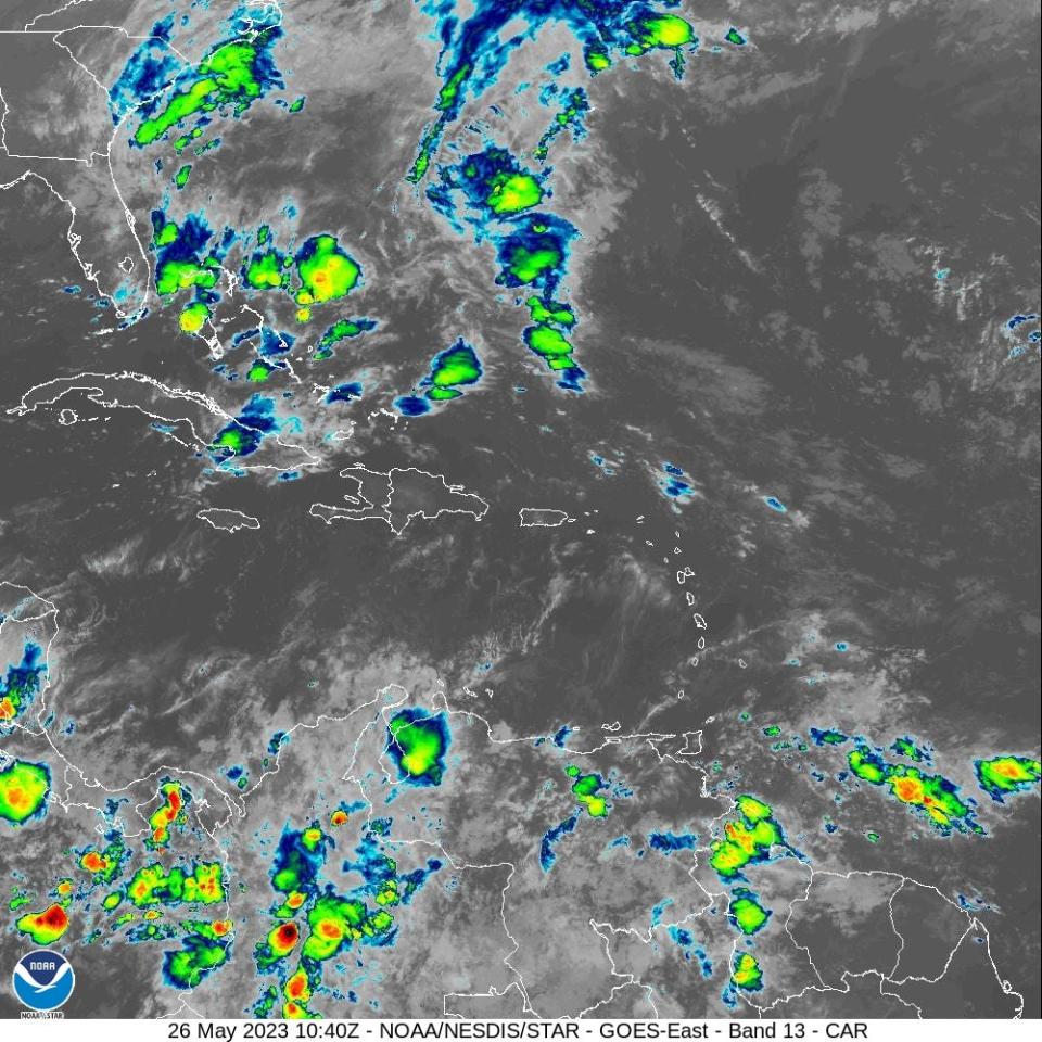
What's out there?
Systems currently being monitored by the National Hurricane Center.
What's next?
We will continue to update our tropical weather coverage daily. Download your local site's app to ensure you're always connected to the news. And look at our special subscription offers here.
This article originally appeared on Treasure Coast Newspapers: Tropics watch: NHC tracking system off Florida, near South Carolina

