National Surveyors Week: Monroe posed challenge to early surveyors

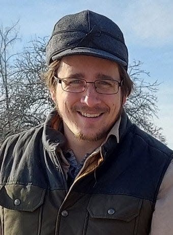
Editor’s note: This week is National Surveyors Week. Jacob Heck, Ph.D., P.S., of Monroe is the incoming president of the National Society of Professional Surveyors Young Surveyors Network. He’s done field work on six continents and has degrees from Michigan Tech and Ohio State University. His doctoral is in geodetic science. Heck has worked for the federal government. "I work in Ann Arbor at the NOAA Great Lakes Environmental Research Laboratory as the Great Lakes regional geodetic adviser for the National Geodetic Survey," Heck said. "I support geodetic activities throughout Michigan, Indiana, Illinois and Wisconsin." In 2020 he was named one of xyHt Magazine's 40 Under 40.
Heck wrote this article about the surveyor field.
Happy National Surveyors Week.
Who are the people on Mount Rushmore? That’s right: Three land surveyors and some other guy. That’s an old surveyor’s joke. Washington, Jefferson and Lincoln were all surveyors at one point in their careers.
Jefferson’s surveying expertise led him to come up with the idea for the Public Land Survey System, the square mile grid that covers 30 states, including Michigan.
Since 1984, the third full week in March has been designated as National Surveyors Week, a time to celebrate the contributions that land surveyors have made to society. This year, we celebrate National Surveyors Week during March 19-25.
Locally in the Monroe area, we have something very unique. This is where French settlers made private claims prior to the mile-square-grid of the Public Land Survey System. Have you ever noticed how the western part of the county has roads running north and south or east and west every mile while the areas around the River Raisin and larger creeks in the eastern part of the county do not? That’s because when the public land surveyors came through in the first quarter of the 19th century after the French settlers had already built their farms, the public land surveyors had to lay out the square grid of townships and “sections” (1-mile squares) around the old “ribbon farms.”
In the modern, digital age, surveying has become even more important to our everyday lives. Location services underlie a trillion-dollar economy that is built upon the work of surveyors. Have you ever wondered where the information in the map application on your cellphone comes from? It’s surveyors who collect the data showing where things are located and connect that data with other data sets in a way where they work together consistently. We surveyors take measurements of where things are and mark the locations of where things that have been designed are supposed to go. Surveyors are often the first people on a construction site and the last to leave, showing where things need to be placed and then verifying that things were put in the correct place.
Surveyors use a variety of tools to conduct measurements, including laser scanners, drones, aerial photos, compasses, total stations (which are tools that measure angles and distances precisely) and making precise measurements with GPS and other satellite resources. Many activities rely on the work of surveyors, including real estate, physical science, engineering, mining and construction.
Surveying is a great career field for anybody. Every surveyor I’ve met really enjoys what they get to do every day. Whether you want to work in the woods all day, or even design video game worlds, surveying is a skill set that is desperately needed in many industries – and in really short supply.
Students coming out of college surveying programs anywhere in the country often have multiple, well-paying job offers before they even graduate. Surveyors do a lot of interesting work. Let’s celebrate them and their achievements this week.
This article originally appeared on The Monroe News: National Surveyors Week: Monroe posed challenge to early surveyors
