Nepal snubs powerful neighbour India by claiming disputed territory as its own in new map
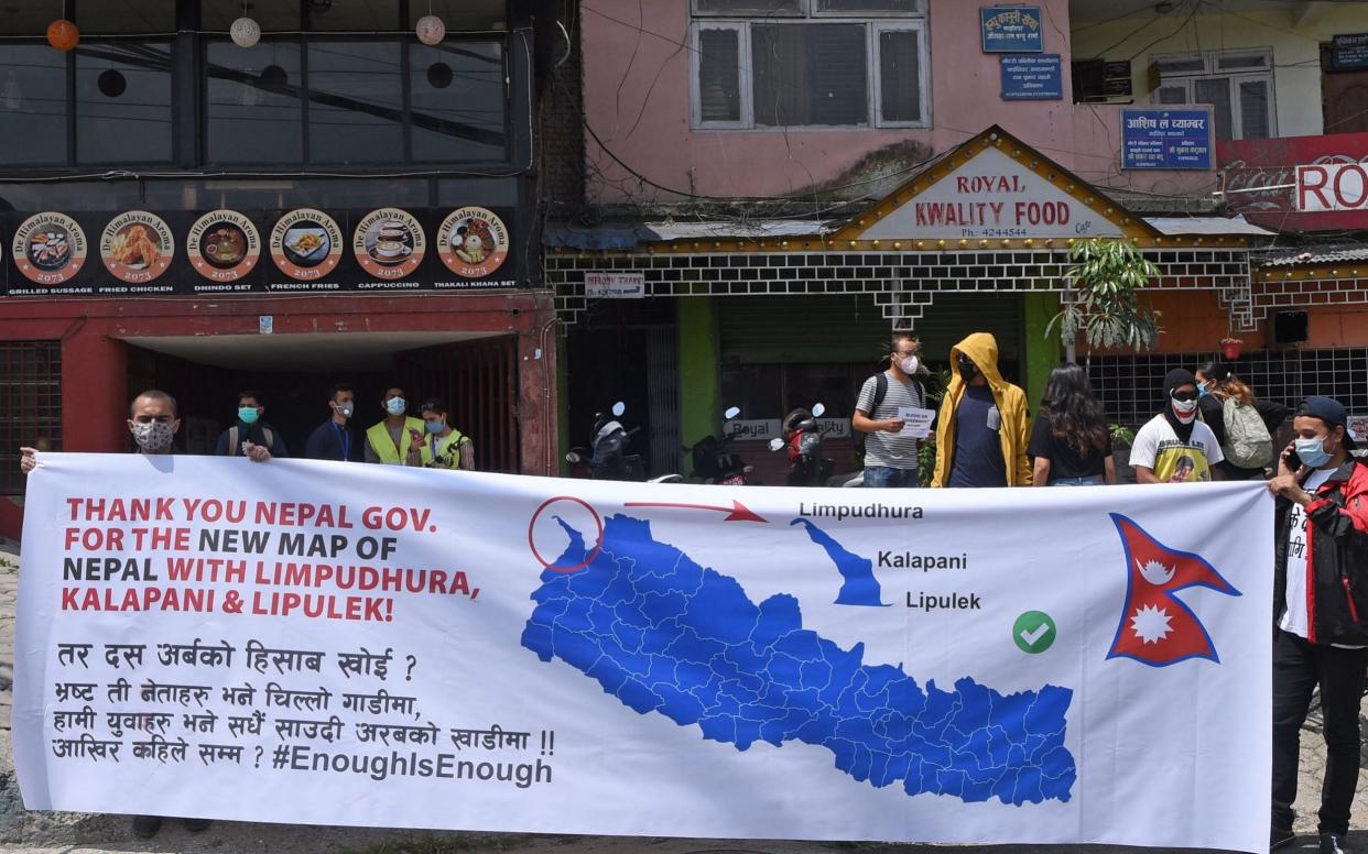
The lower house of Nepal's parliament on Saturday approved a controversial new map of the country that includes areas disputed with India.
The move signals a hardening of Nepal's position over a decades-long border row that has strained ties between the neighbours.
India's foreign ministry rejected the map, arguing that the addition of Indian territory is not based on historical fact or evidence.
"It is also violative of our current understanding to hold talks on outstanding boundary issues," foreign ministry spokesman Anurag Srivastava said in a statement.
In Nepal's capital city of Kathmandu, dozens of people painted the new map on a street and lit candles in celebration of Saturday's decision.
The move comes after India inaugurated a 50-mile road connecting its northern Uttarakhand state with Lipulekh on the border with Tibet that passes through the disputed land.
Agni Prasad Sapkota, Speaker of Nepal's House of Representatives, said the new map was approved by 258 out of 275 members of parliament, exceeding the required two thirds majority. There were no votes against.
The map must also be passed by the National Assembly, parliament's upper chamber, and approved by President Bidhya Devi Bhandari before it becomes a part of the constitution.

