Air Alert: No fires are burning in Tri-Cities so why does it smell like a campfire?
The air quality in the Tri-Cities may get worse, as smoke already has left the air quality in western Benton County at times on Thursday rated as unhealthy.
The National Weather Service issued an air quality alert late Thursday afternoon until Friday evening for Kennewick, Richland, the Hanford site and western Benton County due to wildfire smoke.
Smoky air could continue through Water Follies weekend in the Tri-Cities.
The Retreat/Rimrock Fire burning west of Yakima and Tieton and about 11 miles east of Rimrock Lake is responsible for much of the smokiness, said Brandon Lawhorn, lead meteorologist at the National Weather Service.
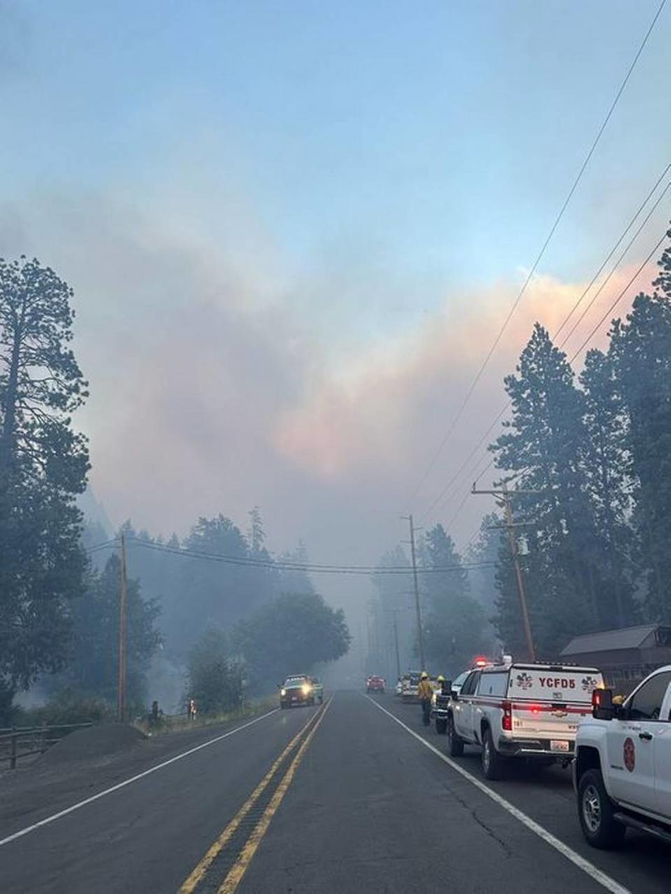
The fire, which started Tuesday, is putting off an impressive amount of smoke that is being blown down the Yakima Valley toward the Tri-Cities, he said.
As of Thursday afternoon, 8,000 acres had burned and the fire was 0% contained, according to InciWeb.
In Prosser the air quality was rated as unhealthy early in the afternoon improving to a rating of unhealthy for sensitive groups by 3 p.m.
In Kennewick, the air quality Thursday afternoon was rated as moderate, deteriorating to a rating of unhealthy for sensitive groups at 5 p.m.
It was the worst air quality recorded in the Tri-Cities since Monday evening when smoke blowing in from the Big Horn Fire seven miles southeast of Bickleton, Wash., left the Tri-Cities with an air quality rating of unhealthy.
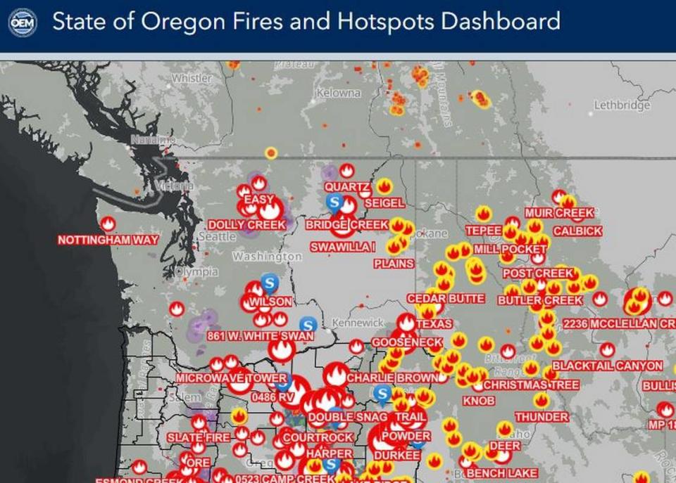
2024 OR, WA fire season
A long and historic early season heatwave in the Pacific Northwest reduced moisture in vegetation that can fuel wildfires, according to the National Integrated Drought Information System.
“The extended extreme heat caused historic levels of evaporation across the Pacific Northwest landscape, which is now evident in extremely dry soils and fuels,” it said.
Drought in the Pacific Northwest is most severe in central Washington where part of the Cascade Mountains is in severe drought and in norther Idaho and Western Montana were conditions range from severe to exceptional drought.
Oregon, where the drought has been less severe, still has had an early and aggressive start to the wildfire season.
As of Thursday, Oregon had reported an estimate of about 900,000 acres burned so far in 2024, which was far about the 10-year average for late July, according to the National Integrated Drought Information System.
Four of the wildfires, including one that has repeatedly closed Interstate 84 in Eastern Oregon, are larger than 100,000 acres each, it said.
The Durkee Fire, which merged with the Cow Valley Fire, was the largest in the United States Thursday at 268,000 acres. It was 20% contained and not expected to be fully contained until Aug. 8. It is burning in brush, tall grass and timber.
I-84 which was closed Wednesday reopened Thursday morning between Pendleton and Ontario in Eastern Oregon, according to the Oregon Department of Transportation.
However, 41 miles of Highway 395 in Eastern Oregon remained closed Thursday due to fire.

