Another day of heat and humidity, cooler midweek
What we’re Tracking
Hot for a couple more days
Midweek storm chance
Cooler second half of week
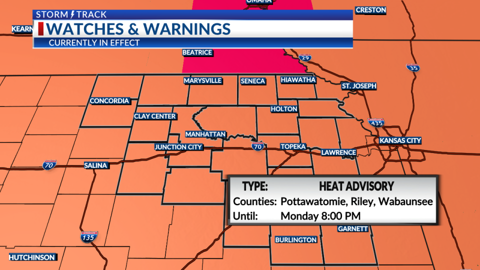
HEAT ADVISORY: A Heat advisory is in effect until 8pm Monday for all of Northeastern Kansas.
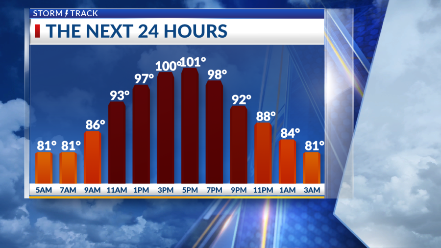
Mostly clear to partly cloudy this morning with south wind at 5-15mph. Between the breeze and humid air in place, temperatures have struggled to fall. We are starting off this morning in the upper 70s and lower 80s.
The upcoming week looks to be fairly dry as sunny weather dominates the Central Plains. Temperatures will top out in the lower 100s for Monday afternoon with south wind blowing through the region. Afternoon heat indices will climb into the 105-108° range, as well.
We may not finally get relief from the heat until Tuesday night after a cooler front approaches. This will bring in our next rain chance by Tuesday night into early Wednesday. Temperatures should drop into the lower to middle 80s for the second half of the week as some very pleasant July weather settles in for several days.
KSNT Storm Track Meteorologist Ely Millard
Copyright 2024 Nexstar Media, Inc. All rights reserved. This material may not be published, broadcast, rewritten, or redistributed.
For the latest news, weather, sports, and streaming video, head to KSNT 27 News.

