Anticipate thunderstorms and strong winds in North Texas Sunday evening
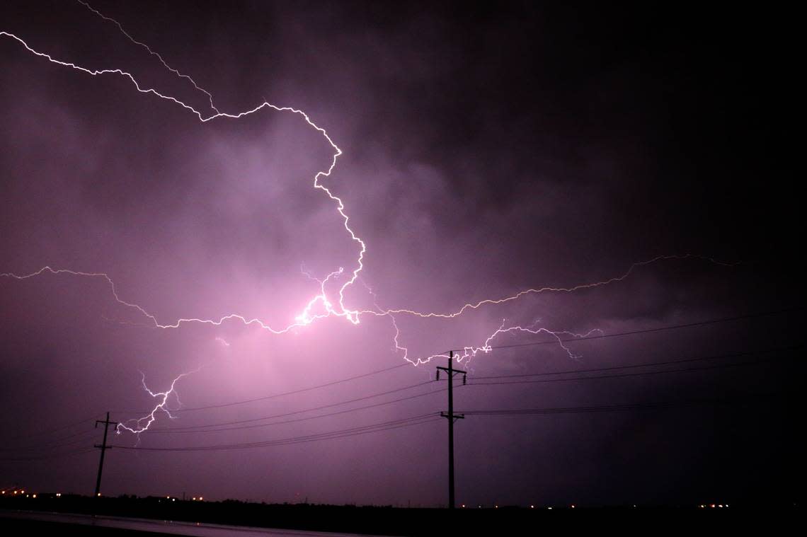
A weather alert issued by the NWS Fort Worth TX on Sunday at 6:46 p.m. is warning residents of thunderstorms and strong winds until 7:30 p.m. The alert is for Wise, Denton, Parker, Tarrant, Erath, Hood, Somervell, Johnson, Bosque and Hill counties.
Residents may experience wind gusts of up to 40 mph.
"At 6:43 p.m., Doppler radar tracked an outflow boundary along a line extending from near Gunter to near Crowley to 8 miles east of Meridian. Movement was west at 30 mph," states the NWS. "Gusty winds could knock down tree limbs and blow around unsecured objects."
Expect thunderstorms and strong winds in the following locations:
• Fort Worth, Denton, Lewisville, Flower Mound, Grapevine, Haltom City, Keller, Hurst, Burleson, and Southlake around 6:50 p.m.
• White Settlement, Sansom Park, Lake Worth, Pilot Point, Northlake, and Haslet around 6:55 p.m.
• Eagle Mountain, Pecan Plantation, Corral City, Ray Roberts Park Isle Du Bois, and Meridian State Park around 7 p.m.
• Pecan Acres, Justin, Aledo, and Ray Roberts Park Johnson Branch around 7:05 p.m.
• Azle, Granbury, Sanger, Krum, Willow Park, Glen Rose, Annetta, and Squaw Creek Reservoir around 7:10 p.m.
• Briar, Pelican Bay, Rhome, New Fairview, Iredell, and Dinosaur Valley State Park around 7:15 p.m.
Other impacted locations include Brazos Point, Duffau, Mambrino, Stony, Acton, Lewisville Lake, Waples, Retreat, Horseshoe Bend and Dish.
The NWS states, "If outdoors, consider seeking shelter inside a building. If on or near Lake Lewisville, Lake Worth, Eagle Mountain Lake or Lake Granbury, get out of the water and move indoors or inside a vehicle."
This alert is in effect until 7:30 p.m.
What to do as threat of lightning approaches?
Lightning strikes the United States about 25 million times a year. Most of the strikes occur in the summer, killing 20 people each year, according to the NWS. Chance of lightning increases as a thunderstorm approaches and peaks when the storm is overhead. It diminishes as the storm moves away.
Here are suggestions for staying safe during a thunderstorm:
• To decrease the risk of getting struck by lightning, when you go outside, establish a plan to reach a safer place.
• If the sky becomes threatening and thunder can be heard, find a safe place to shelter.
• Once indoors, avoid touching corded phones, electrical equipment, plumbing, and windows and doors.
• Wait for 30 minutes after the final lightning or thunder before heading outside again.
If finding indoor shelter is not an option:
• Avoid open fields, the top of a hill, or a ridge top.
• Keep a distance from tall, isolated trees or other elevated objects. If in a forest, stay close to lower trees.
• If you are in a group, spread out to avoid the current traveling between group members.
• If you are camping in an open space, choose a valley, ravine, or low area for your campsite. Remember, tents do not shield you from lightning.
• Keep a distance from water, wet articles, and metal objects. While water and metal do not draw lightning, they are proficient conductors of electricity.
What to do in the rain on the road?
• Turn on headlights — Even in daylight, using headlights can help improve visibility and let other drivers know where you are.
• While driving — Stick to the middle lanes and stay on elevated ground. Rainwater tends to accumulate at the road edges.
• Steer clear of puddles — Driving into puddles or low areas of rainwater can cause vehicles to hydroplane or skid out of control.
• Give ample space to large vehicles — Trucks or buses can create a water spray that diminishes visibility.
• Steer clear of flooded areas — When coming to a flooded road, turn around and head back. Flash flooding currents are strong and can sweep drivers off roadways. Driving through deep water can also affect a vehicle’s mechanical and electrical systems.
What is hydroplaning?
Hydroplaning occurs when a vehicle begins to slide uncontrollably on wet roads.
This happens when water in front of the tire builds up faster than the vehicle’s weight can push water out of the way. The water pressure then causes the vehicle to rise and slide on a thin layer of water between the tires and the road, making the driver lose control. The three main causes of hydroplaning are:
1. Vehicle speed — When a vehicle’s speed increases, the tire-traction grip and ability to control the vehicle decreases. Drive at a reduced speed during wet weather.
2. Water depth — The deeper the water, the sooner a vehicle loses traction on the road. It doesn’t matter how deep the water is, even a thin layer can lead to hydroplaning.
3. Tire tread depth — Checking your tire tread before hitting the road is important, as low or no tread can lead to sliding.
In the event of your vehicle hydroplaning, here’s what to know:
• Ease off the accelerator — Step off the gas to slow down the vehicle until the tires find traction.
• Turn into the skid — Turning into the skid can help the vehicle’s tires realign to regain control.
• Make sure the tires reconnect with the road — During the skid, wait until the tires reconnect with the road and then gently straighten the wheels to regain control.
• Brake gently as needed — Brake normally if the vehicle has anti-lock brakes and pump brakes gently if in an older vehicle.
Source: The National Weather Service

