Cincinnati weather: Area under flood watch until Wednesday. What to know
Several rounds of showers and thunderstorms will move across the Ohio Valley region Tuesday through Wednesday.
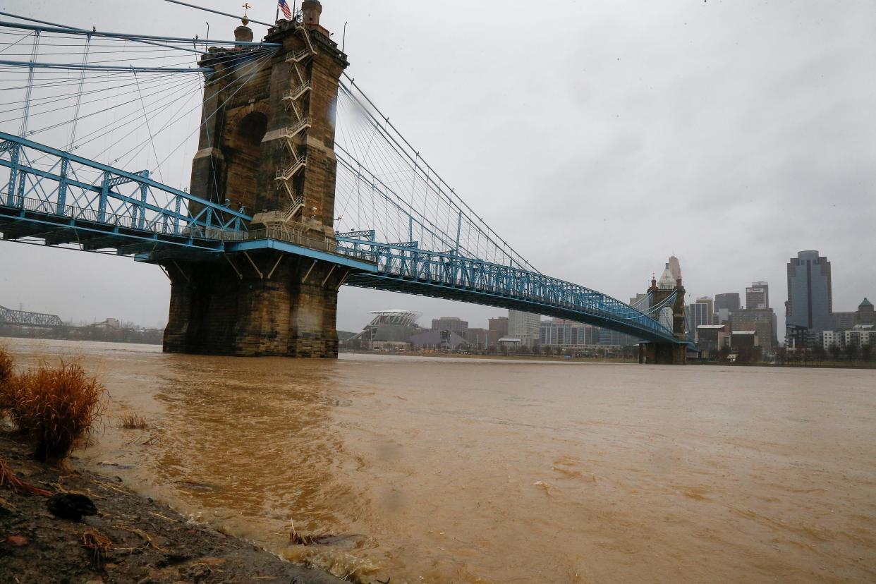
The National Weather Service in Wilmington has issued a flood watch, effective from noon Tuesday through Wednesday evening.
Hamilton, Clermont, Butler, and Warren counties in Ohio, Campbell, Kenton, and Boone counties in Kentucky, and Dearborn, Franklin, Switzerland, and Ohio counties in Indiana are under the watch.
Thunderstorms will have the potential to produce damaging winds Tuesday afternoon and into the evening hours. Flash flooding caused by excessive rainfall will be possible.
Excessive runoff may flood rivers, creeks, streams, and other low-lying and flood-prone locations. People in the watch area, especially those living in areas prone to flooding, should be prepared to take action. Make sure to monitor the latest NWS forecasts and be alert for possible flood warnings.
The combination of heat and humidity will also lead to heat index values near 100 degrees across the far southern portion of the region on Tuesday.
Cooler temperatures and drier conditions will begin on Wednesday as a cold front moves into the area. Temperatures are only expected to be in the 70s to low 80s.
The dry spell will continue through the end of the week. On Thursday, temperatures will be several degrees below normal, with highs in the 75- to 80-degree range.
Periods of showers and thunderstorms can be expected today, tonight and into Wednesday. Heavy downpours will be possible with the potential for localized flash flooding. pic.twitter.com/AV6ShscTLA
— NWS Wilmington OH (@NWSILN) July 16, 2024
Detailed 7-day weather forecast for Cincinnati
Tuesday: There is a chance of showers and thunderstorms, then showers and possibly a thunderstorm after 1 p.m. Some of the storms could produce heavy rainfall. High near 91. Heat index values as high as 100. West wind 9 to 15 mph, with gusts as high as 28 mph. The chance of precipitation is 100%. New rainfall amounts between a tenth and a quarter of an inch, except higher amounts possible in thunderstorms.
Tuesday night: Showers and possibly a thunderstorm. Some of the storms could produce heavy rainfall. The low will be around 71. The southwest wind will be 3 to 8 mph. The chance of precipitation is 100%. New rainfall amounts between three-quarters and one inch are possible.
Wednesday: Showers and possibly a thunderstorm. Some of the storms could produce heavy rainfall. The high will be near 80. The southwest wind will be around 7 mph, becoming west in the afternoon. The chance of precipitation is 100%. New rainfall amounts between a quarter and half of an inch are possible.
Wednesday night: Showers and possibly a thunderstorm before 8 p.m., then a slight chance of showers and thunderstorms between 8 p.m. and 2 a.m. Low around 63. North wind around 6 mph. The chance of precipitation is 80%. New rainfall amounts of less than a tenth of an inch, except higher amounts possible in thunderstorms.
Thursday: Mostly sunny, with a high near 81. North wind around 7 mph.
Thursday night: Mostly clear, with a low around 59.
Friday: Sunny, with a high near 83.
Saturday: Mostly sunny, with a high near 86.
Sunday: Mostly sunny, with a high near 87.
Monday: There is a chance of showers and thunderstorms. It will be partly sunny, with a high near 88. The chance of precipitation is 30%.
Source: National Weather Service at Wilmington.
This article originally appeared on Cincinnati Enquirer: Weather: Flood watch issued for parts of Indiana, Ohio and Kentucky

