Did you see the sky in South Jersey on Sunday? Here's the science
Mother Nature delivered a treat on Sunday evening for those who looked up at the sky.
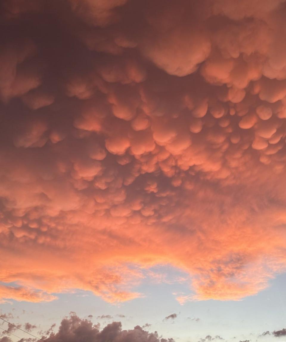
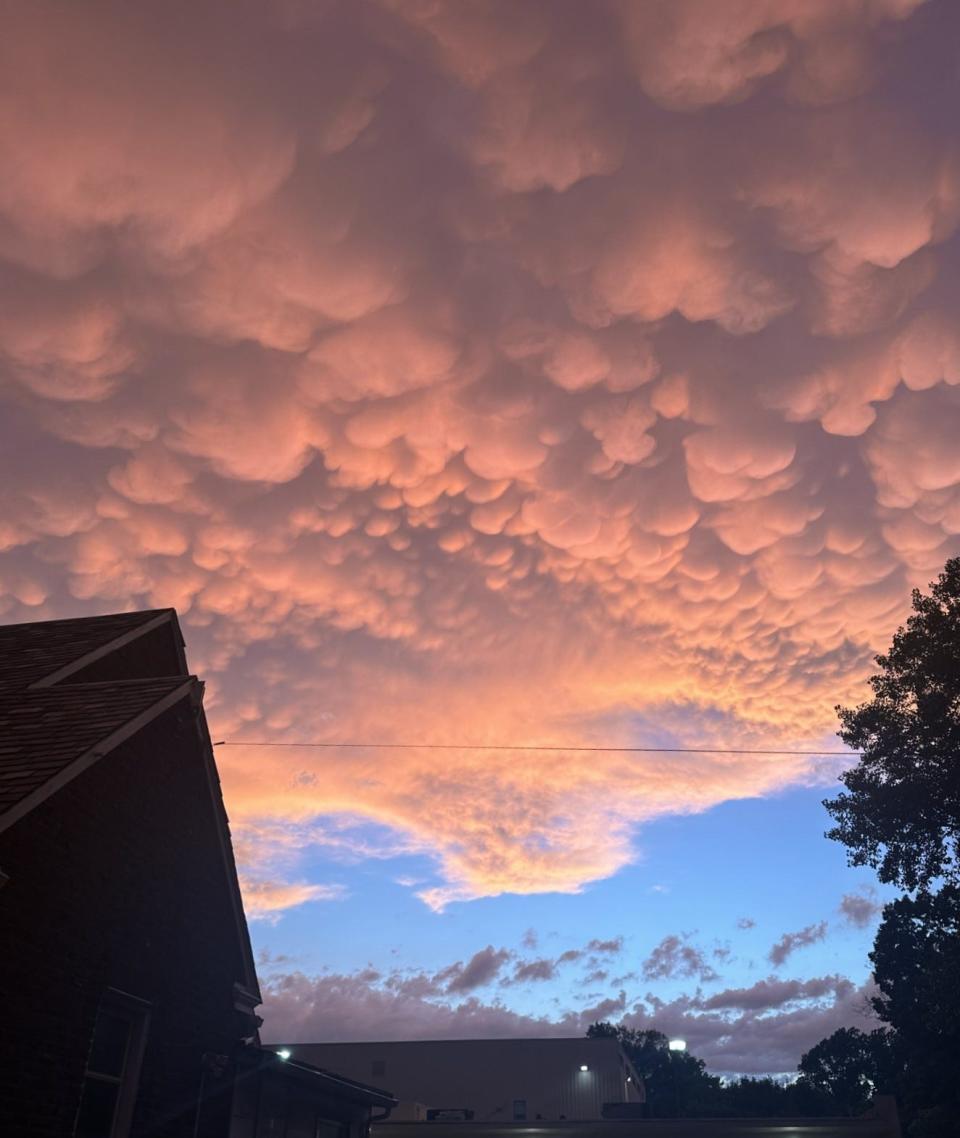
No, that wasn't cotton candy up there; after brutal thunderstorms, the rain made way for some gorgeous pink, orange and golden cloud coverage.
Called mammatus clouds, these formations are condensed pockets of sinking cold air that form at the base of a cloud as it hits a warmer layer of air creating what, to some, appear to be cow udders in the sky.
The mammatus (pronounced məˈmātəs) stood out Sunday for their widespread display across the Delaware Valley region and into northern Delaware, said Patrick O’Hara, a meteorologist with the National Weather Service in Westampton.
Photos of the sky scene quickly took over social media as South Jerseyans flocked outside to snap a quick pic, uploading them to Facebook groups and Instagram stories.
"Amazing sky over Medford tonight," one user shared in a Facebook group.
The comments included other users writing "breathtaking!" and "beautiful."
What types of clouds are mammatus typically associated with
These cloud pouches are most often seen with cumulonimbus clouds, which produce strong storms. These clouds typically form during warm months, according to the UCAR Center for Science Education.
What does it mean when you see mammatus clouds
Mammatus clouds generally form in the most unstable cumulonimbus clouds. When that happens, they are often a sign of a particularly strong storm.
More: Traveling for Independence Day? Here's when not to hit the road
How do mammatus clouds form?
With big thunderstorms, a large mass of water vapor rises in the atmosphere, then spreads out as it sinks down, O’Hara said. Normally, this type of cloud forms over a smaller area.
Are mammatus clouds dangerous?
Yes, if you are a pilot. Because they are a type of cumulonimbus clouds that can indicate high levels of turbulence, according to the American Meteorological Society.
For those of us on the ground, they are generally harmless. But because they form in unstable air, they can signal the chance of other dangerous weather nearby like lightning or hail.
Are mammatus clouds rare?
They are not uncommon, but they are most picturesque at sunset, O’Hara said.
Support local journalism with a subscription.
This article originally appeared on Cherry Hill Courier-Post: Mammatus clouds take over South Jersey skies on Sunday

