Flooding possible as storms roll into region late Thursday, National Weather Service warns
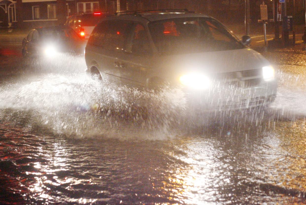
Severe thunderstorms could lead to localized flooding throughout the region Thursday night and Friday, the National Weather Service is warning.
The weather service has issues a hazardous weather outlook is for east central Ohio, westernPennsylvania and northern West Virginia. It includes Coshocton, Guernsey, Muskingum and Tuscarawas counties.
"There are localized flooding concerns especially in urban areas, and a marginal risk (1/5) for severe thunderstorms, mainly this evening and overnight across the region," according to the weather service's statement.
Scattered showers and thunderstorms also are possible Friday and into the weekend and could produce heavy rainfall resulting in localized flooding concerns, the statement added. There' is also a's also a marginal risk for severe thunderstorms with damaging winds on Friday.
High temperatures in the lower 90s are expected Thursday, according to the National Weather Service forecast for the region.
Here's the National Weather Service forecast for Zanesville:
Tonight: Showers and thunderstorms likely, mainly between 2 a.m. and 5 a.m. Mostly cloudy, with a low around 70. Chance of precipitation is 60%. New rainfall amounts between a quarter and half of an inch possible.
Friday: Showers and thunderstorms likely, then showers and possibly a thunderstorm after 2pm. High near 88. South wind 3 to 6 mph. Chance of precipitation is 90%. New rainfall amounts between a quarter and half of an inch possible.
Friday night: Showers and thunderstorms before 11 p.m., then showers likely and possibly a thunderstorm between 11 p.m. and 2 a.m., then a chance of showers and thunderstorms after 2 a.m. Low around 68. Calm wind. Chance of precipitation is 80%. New rainfall amounts between a quarter and half of an inch possible.
Saturday: A chance of showers and thunderstorms, then showers and possibly a thunderstorm after 8 a.m. High near 82. Calm wind becoming west around 5 mph in the afternoon. Chance of precipitation is 80%. New rainfall amounts between a quarter and half of an inch possible.
Saturday night: Showers and possibly a thunderstorm before 8 p.m., then a slight chance of showers and thunderstorms between 8 p.m. and 2 a.m. Low around 65. Chance of precipitation is 80%. New rainfall amounts of less than a tenth of an inch, except higher amounts possible in thunderstorms.
This article originally appeared on Zanesville Times Recorder: Storms and flooding possible, National Weather Service warns

