Heavy rains pelted Vermont this past week. Where did it hit the hardest?
After two days of incessant and unpredictable rain, Vermont is feeling the impacts of the storm across all counties. The rainfall total gives a look into how different cities and counties across the state were impacted.
The National Weather Service provided unofficial observations on rainfall from July 10 and 11. Most of the reports were measured during the morning hours of Thursday, July 11. The report shows a wide range of totals, with the lowest amount falling in Windsor Country. Windsor saw 0.25 inches. The highest total was measured in Walden in Caledonia County with 7.25 inches.
Chittenden County totals
Some parts of Chittenden County saw heavy rain, with observers tracking 6.91 and 6.76 inches of rain in two parts of Hinesburg and 6.91 inches in Mechanicsville. The Burlington area saw less, with South Burlington reporting 2.21 inches, and the waterfront reporting 1.58 inches.
Reported rainfall totals in the county include:
Mechanicsville − 6.91 inches.
Hinesburg − 6.76 inches.
Charlotte − 5.18 inches.
Richmond − 4.85 inches.
Shelburne − 4.10 inches.
Jericho − 3.97 inches.
Milton − 3.25 inches.
Underhill − 2.38 inches.
Colchester − 2.38 inches.
Pleasant Valley, Cambridge − 2.30 inches.
South Burlington − 2.21 inches.
Burlington International Airport − 1.90 inches.
Essex Junction − 1.61 inches.
ECHO - Burlington − 1.58 inches.
Essex − 1.27 inches.
Rain fell heavier across northern and central Vermont, prompting evacuations in Barre, Williamstown, Groton and St. Johnsbury. These areas − located near the Winooski River or branches of it, contributing to the flooding − reported the highest rainfall totals.
St. Johnsbury saw 6.4 inches of rain. In Addison County, Monkton reported 6.41 inches. Moretown in Washington County saw 6 inches of rain. Southern Vermont saw the least amount of rain, facing less damages and flooding.
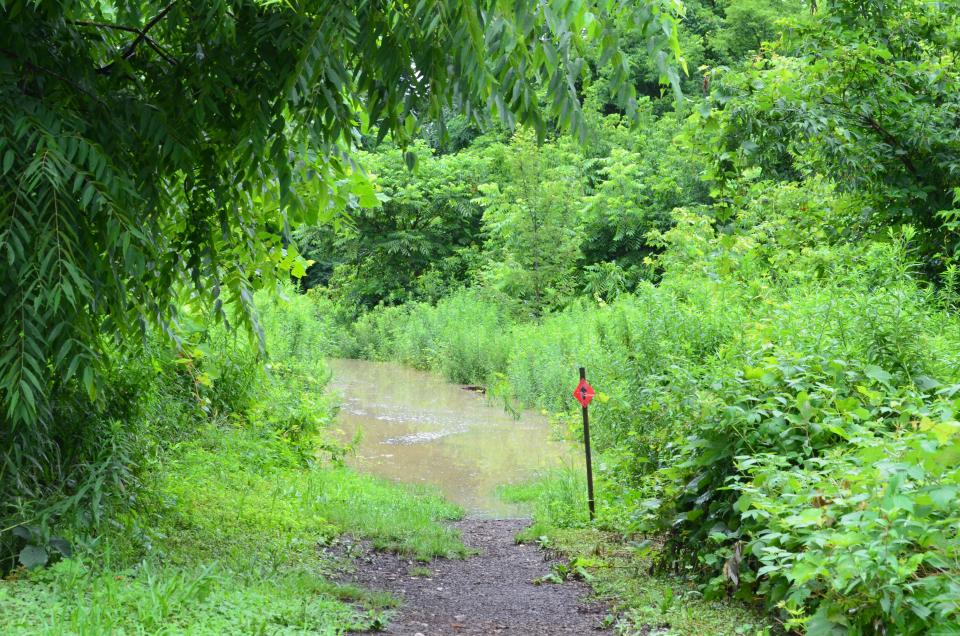
Although these numbers may be lower in some parts, movement from rivers and tributaries can still flood regions that may not be expecting it. Low flood plains near the Winooski River will be impacted by heavier rains that hit upstream. The state urges all residents to be mindful of this.
Sydney P. Hakes is the Burlington city reporter. Contact her at SHakes@gannett.com.
This article originally appeared on Burlington Free Press: Rainfall totals across Vermont in the wake of heavy rains

