How July 2024 compares to the hottest months in New York history
As yet another heat wave hit the New York metro area this week, the National Weather Service says July 2024 is aiming to be one of the hottest months on record.
With already three documented mini heat waves since June, July 2024 would be the fourth hottest month in New York history if the year ended on July 16, National Weather Service meteorologist Faye Morrone said.
"July is typically the warmest time of the year, so it's not surprising that we're experiencing such high temperatures this month," Morrone said. "However, it is a bit warmer than we'd probably typically expect for an average July."
What was the hottest July in the Lower Hudson Valley?
So how does summer 2024 compare to the summers we're used to? We took data from National Weather Service collection points at both Westchester County Airport and Central Park to determine how hot it really is compared to past years.
The warmest July in New York history was in 1999, where the average temperature was 81.4 degrees. In 2024, the current average July temperature is 80.7, just a few percentage points away from breaking the record. However, while average temperatures seem low, it's the heat index that makes temperatures feel so sweltering.
The National Weather Service said a heat advisory is issued when the heat index, the combination of heat and humidity, is predicted to feel like "95 to 99 degrees for two or more consecutive days or 100 to 104 degrees for any length of time."
What causes a heat advisory?
Heat advisories and heat waves, however, are different. Heat advisories are usually issued during a heat wave, which is a period of time when temperatures are well above average and much warmer than usual for that area and time of year, said Bianca Feldkircher, lead meteorologist at the National Weather Service in Phoenix.
The average monthly temperature in New York for July since 2000 has been 77 degrees. The average daily maximum temperature for July since 2000 has been 84.8 degrees. We've well exceeded average temperatures this year, but the month is not yet over, Morrone said, and hotter temperatures could be on their way.
2023 was the warmest year on average in New York overall, according to National Weather Service data, and had 12 days over 90 degrees. The hottest day in New York metro area based on data from Central Park was July 9, 1936, when temperatures reached a brain-melting 106 degrees.
What have been the hottest days this year?
The hottest days of the year in New York so far have been:
June 20 - 92 degrees
June 21 - 93 degrees
June 23 - 91 degrees
June 26 - 91 degrees
July 7 - 90 degrees
July 8 - 91 degrees
July 15 - 91 degrees
Morrone said record temperatures for the week of July 15 were around 99 to 100 degrees. Luckily, temperatures are expected to stay a few degrees below that this year in the low to mid 90s.
The earliest day of 90-degree weather ever recorded was on April 7, 2010. 2010 was also the year with the hottest July day on record in White Plains, when temperatures reached 102 degrees on July 6. Additionally, there were 10 days that were over 90 degrees and four days over 95 degrees, making it the second hottest month in New York history.
The longest consecutive days of 90-degree weather were 12 days from August 24 to Sept. 4, 1953. The longest consecutive days of 100-degree weather happened from July 8 to 10, 1993 and August 26 to 28, 1948. 1993 also had the most days that were 90 degrees or higher in a single month and in a single year.
Why has New York gotten hotter?
While we still don't know how 2024 is going to rank in terms of hottest years on record, we do know that New York has gotten progressively hotter in the last few years.
"Climate change is already increasing the severity, duration, and frequency of extreme heat events in New York State," the New York State Department of Environmental Conservation said on its website. "Impacts from extreme heat are likely to become more severe with rising temperatures and as heat waves become more intense, more frequent, and longer due to climate change."
NYDEC said New York state experienced an average of less than one heat wave every year between 2000 to 2004. By 2050, NYDEC predicts that New York is projected to experience more days above 90 degrees and could experience up to eight heat waves per year for some regions of the state.
So as New Yorkers brace for a possibly record-breaking summer this year, the National Weather Service offers these tips to stay cool and safe:
Tips on how to stay cool during a heat wave
Here are some tips from the National Weather Service to stay safe during a heat wave:
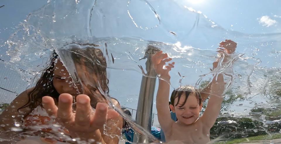
Slow down. Reduce or refrain from strenuous physical activities until the coolest time of the day. At risk populations such as older people, children and pregnant women should stay in the coolest place available, which may not necessarily be indoors. Maybe it's in the local pool!
Dress light. Break out the sundresses and shorts. Wear loose, lightweight and light-colored clothing that will reflect and protect you from the heat.
Stay out of the sun. The National Weather Service says sunburn can reduce the body's ability to dissipate heat, so make sure you've got a hat and plenty of sunscreen.
Eat light. Go for cool, easy-to-digest foods like fruit, salads or even fruit salad. If you are bringing food somewhere, make sure to put it in a cooler or include ice packs, as meat and dairy products can spoil in the heat.
Hydrate. Drink plenty of water, even if you don't feel thirsty, and stay away from alcoholic or caffeinated beverages.
Go somewhere cool. Spend some time in an air-conditioned place, whether that's home, the library, a mall or other public spaces. You can search for your nearest local emergency cooling center by county at the New York Department of Health website.
Use a fan. For those who don't have access to air conditioners, or if you want to save money on your electric bill, use portable electric fans to push hot air out of a room and draw cooler air in. However, if the temperature is above 90°F, the National Weather Service warns against directing the flow of air from an electric fan towards yourself. The dry, blowing air can dehydrate you faster, causing additional health risks.
Take a cool bath or shower to feel refreshed and lower your body temperature.
Check on your loved ones. If you know someone who is at risk of heat-related health issues, make sure they are well cared for and in a safe and cool place.
Don't fry your tech. Avoid leaving cellphones, GPS units and other electronics in a hot car.
This article originally appeared on Rockland/Westchester Journal News: July 2024 one of the hottest on record in NY history

