NASA Langley researchers are heading to the Arctic. Here’s why that matters.
NASA Langley researchers are heading to the Arctic Ocean to study the habitat’s effect on climate worldwide.
The ARCSIX, or Arctic Radiation Cloud Aerosol Surface Interaction Experiment, airborne campaign will fly out of Pituffik Space Force Base in Greenland for seven weeks this summer to gather measurements of the sea ice, clouds, radiation and aerosols that are affecting the ice melt.
“The reason that we need this mission is because there are a lot of things that we don’t know about how the Arctic climate system functions and operates,” said Patrick Taylor, deputy mission science leader. “There’s a lot of uncertainty in our projections of how fast they warm. We know that it’s going to warm fast, but it can go really fast.
“The idea of these observations is to understand how the sea ice is changing, so that we can use that data to improve our tests and hypotheses and improve our theories about how the sea ice is evolving. We can then put those ideas and our knowledge to improve our forecast models.”
Ice in the arctic has a pivotal role in cooling the earth, and it’s not every day that scientists are able to take detailed snapshots of the region. Taylor and Ewan Crosbie, platform scientist, said it’s pivotal to learn about the Earth’s warming climate now, and the data could be used to form strategies on how to reduce the effects of climate change.
“Having boots on the ground (and) people out in this region of the Arctic only happens once or twice every five years,” Taylor said. “It’s not even that we get out there every year. We get these very periodic snapshots of what’s happening there. We’re going to have an unprecedented kind of dataset of it with all the different instruments.”
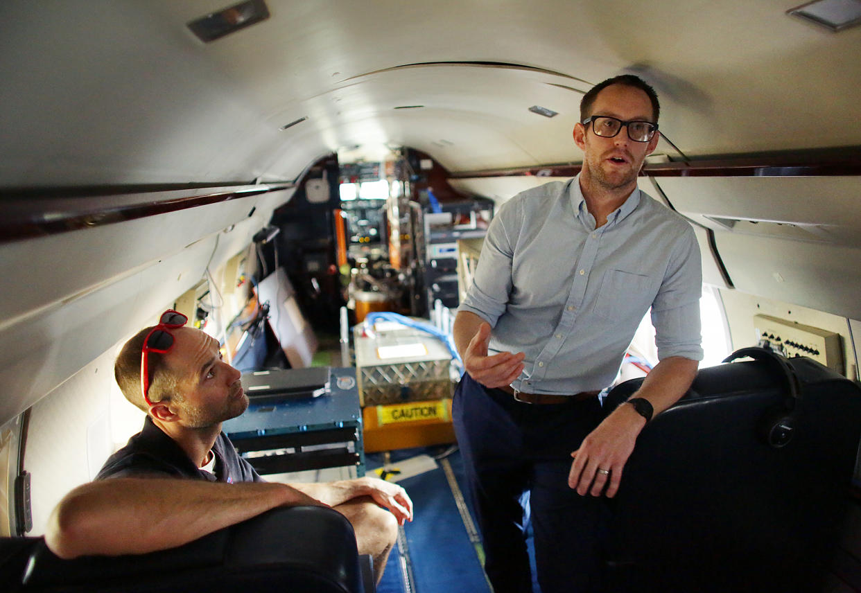
The mission is split into two. The group will go out to see how the ice is melting in late spring and early summer, and in July, a second part will collect data for the later parts of summer. Each flight will have two pilots, a fight scientist coordinating with researchers on the ground, a scientist for each of the three instruments collecting data and an extra seat for an additional scientist or operator.
The aircraft is equipped with three components. The first are dropsondes, designed to be dropped from an aircraft at altitude and measure characteristics such as temperature, humidity and winds. Another is the AVIRIS, or Airborne Visible Infrared Imaging Spectrometer. AVIRIS is used as a very powerful camera, and will collect useful information about the sea ice clouds and aerosols.
The third is HALO, or High Altitude Lidar Observatory. It uses a very short pulse of light to collect images, but where the AVIRIS takes images of what’s happening horizontally, HALO collects data on what’s happening vertically.
“When the ice starts to melt, we get liquid forming on the surface. We can see what that looks like (with the instruments), even though you couldn’t see with the naked eye,” Crosbie said. “Also for clouds, an interesting science question that we’ll go after is to try to understand the lifecycle of Arctic clouds.
“So understanding the distinction between clouds that contain predominantly liquid droplets versus ice particles is is a critical piece to understanding the behavior of Arctic clouds, their lifecycle and the radiation impacts.”
Crosbie said this could be one of the last times to observe “old ice,” or ice that was able to survive the summer melt season and regrow during the polar night. He said the ice seen in the mission will be between 3-4 four years old, and this could be one of the last chances to measure and collect data on it.
“We’re really excited about the science,” Taylor said. “We don’t get a data set like this in this region of the Arctic — or the Arctic at all — very often so really, some things we think we’ll learn will probably surprise us. There’s probably some things we’re not expecting will pop out of the data.”
Eliza Noe, eliza.noe@virginiamedia.com

