National Hurricane Center hoping new cone will stop fixation on Saffir-Simpson Scale
The National Hurricane Center is excited about its launch of the new cone of concern, coming in just a few weeks.
The experimental tropical cyclone forecast cone graphic will be coming out in mid-August, just in time for the peak period of hurricane season.
➤ Tropics watch, July 25: Tropics quiet but busiest months coming soon
The new cone will add tropical storm and hurricane watches and warnings for interior counties in the path of the storm. The current cone shows watches and warnings only for coastal counties.
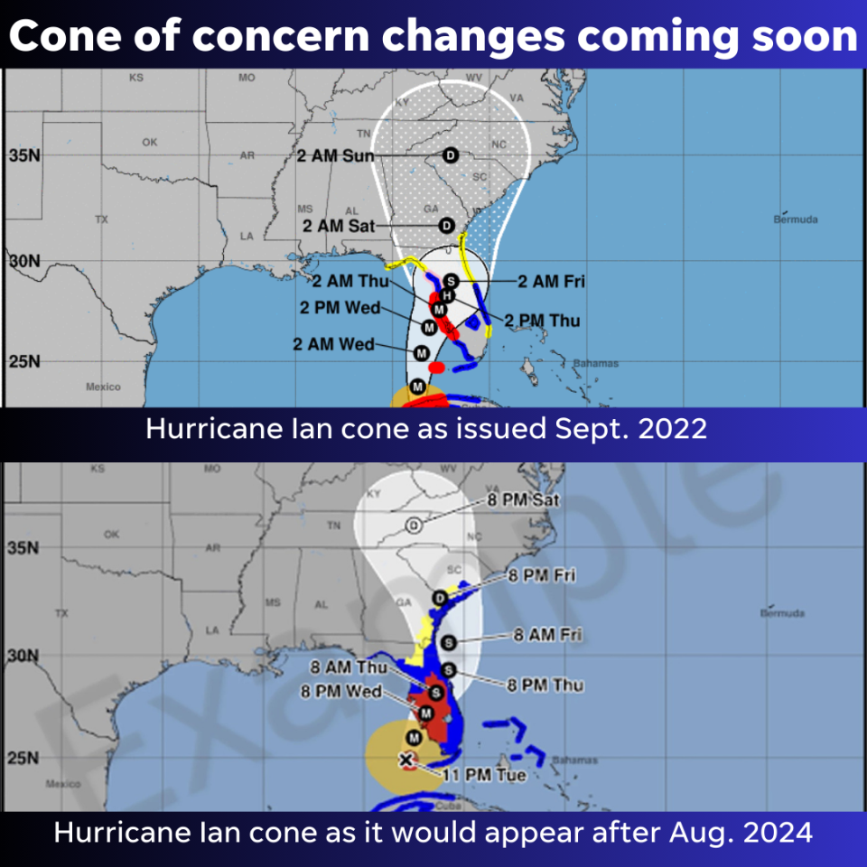
What's different with the National Hurricane Center's 'cone of uncertainty'?
Use the slider on the right to compare the prior cone to what it will look like beginning August 2024.
Can't see the image? See the graphic below.
The new experimental cone will reflect watches and warnings issued for interior counties.
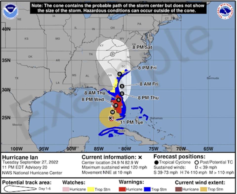
Currently, the NHC cone of concern shows the projected path of a tropical storm or hurricane, as well as the timing of the storm and any watches and warnings for coastal areas.
The new graphic will continue to have the same information but also illustrate potential impacts for areas away from the coast.
The watches and warnings will take precedence over the cone, the National Hurricane Center said.
Differences you'll see:
Watches and warnings for inland counties, not just coastal areas.
White transparent shading for the entire five-day forecast, instead of white stippling (dots) for the four- and five-day forecast.
With the previous emphasis on watches and warnings issued along Florida's coasts, many inland residents and visitors were unaware of the wind dangers an approaching storm could have well away from the coast. The new cone emphasizes inland watches and warnings.
National Hurricane Center on track with launch of new cone of concern
"It's going great, and we're right on track" to launch the new cone in August, said National Hurricane Center Deputy Director Jamie Rhome.
Forecasters used the first three storms of the 2024 Atlantic hurricane season to verify everything was working as planned, Rhome said.
When will the new NHC cone be available?
"We will launch as predicted on or around Aug. 15," Rhome said.
"We don't want to launch in the middle of a storm; that could be disruptive and could be confusing. If it's really quiet, we could launch on Aug. 15, but if a storm is brewing earlier, the new cone could be launched earlier than Aug. 15.
"The biggest change to the cone is the addition of the inland wind warnings. The National Weather Service has issued those for years. We're placing that information on the (NHC) cone for a more comprehensive view of the threat so people don't have to go to two different websites. All the information is seamlessly merged together."
New Hurricane Center hopes new cone deemphasizes Saffir-Simpson Scale
"We're excited. It's a big step forward for us and the people we serve. It's a better way to convey information," Rhome said.
"We hope it gets people to stop fixating on less reliable tools like the Saffir-Simpson Scale. There are more accurate ways to convey actual wind impacts in your community and at your home.
"The Saffir-Simpson Scale doesn't allow you to understand what the actual impact may be where you live. The Saffir-Simpson scale tells you peak wind (associated with a tropical storm or hurricane) but it may not be that over your community.
"A Category 5 hurricane over Vero Beach doesn't mean Category 5 winds everywhere in Vero Beach. That doesn't allow you to deduce impact or threats" where you live. "People misinterpret local impacts, with some overestimating the threat and some underestimating the threat."
"Explicit watches and warnings for high winds (in your county) allows you to prepare for tropical storms or hurricanes based on where you are."
Uncomfortable with change? NHC plans to keep old cone around for awhile
"The existing cone will still be there. If you're not ready to pivot to the new cone, the old one will still be widely available," Rhome said.
"Any time you launch something new, initially there can be a spin-up education period. There's going to be a period for growth as people get used to new way of viewing their risk."
On the National Hurricane Center's website, you'll have to click on a link to see the new cone.
National Hurricane Center wants public feedback on new cone of concern
"The new one will replace the existing cone after one to two years of feedback.
"If there's clear feedback — the colors aren't right, something isn't clear, the legend is confusing — then we'll make more changes. We want feedback to verify the changes are accomplishing what was intended. My guess is that there will be opinions for more additions and refinements and then there will be another year of testing with more feedback" before the new cone replaces the current cone.
When the new cone is pulled up on NHC's website, there will be a link to short survey. Rhome said every bit of feedback received will be looked at to determine how to proceed.
This article originally appeared on Treasure Coast Newspapers: NHC new cone of uncertainty coming soon. Here's when

