National Hurricane Center tracking a system off South Carolina coast after Beryl dissipates
Beryl may be gone, but the National Hurricane Center on Friday is continuing to track a tropical disturbance that is now off the coast of South Carolina.
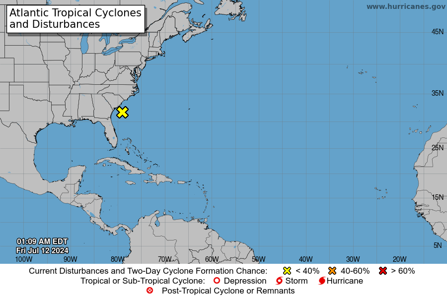
According to the NHC, a "broad area of low pressure" located about 100 miles off the coast of South Carolina continues to produce "disorganized showers and thunderstorms."
Development of the system is not expected before it moves inland over South Carolina and North Carolina on Friday, the NHC said, however the disturbance could contribute to areas of heavy rainfall and possible flash flooding across coastal portions of the Carolinas and Mid-Atlantic through Friday night.
According to the National Weather Service in Wilmington, most counties in southeast and northeast North Carolina are under a Flood Watch through Friday evening. Rounds of moderate to heavy rain are forecast to continue through the day, with rainfall amounts up to 1 to 2 inches expected and man areas expecting locally higher amounts.
Additionally, the NWS office in Wakefield, Virginia is forecasting over an inch of rain for most of southeastern Virginia, with localized amounts of over five inches expected to fall over a short period of time leading to flash flooding, especially in urban locations.
Atlantic storm tracker
Follow along with storm systems in the Atlantic Ocean below. Zoom in or out to locate the systems in relation to the U.S.
US weather radar
Gabe Hauari is a national trending news reporter at USA TODAY. You can follow him on X @GabeHauari or email him at Gdhauari@gannett.com.
This article originally appeared on USA TODAY: National Hurricane Center tracking system off South Carolina coast

