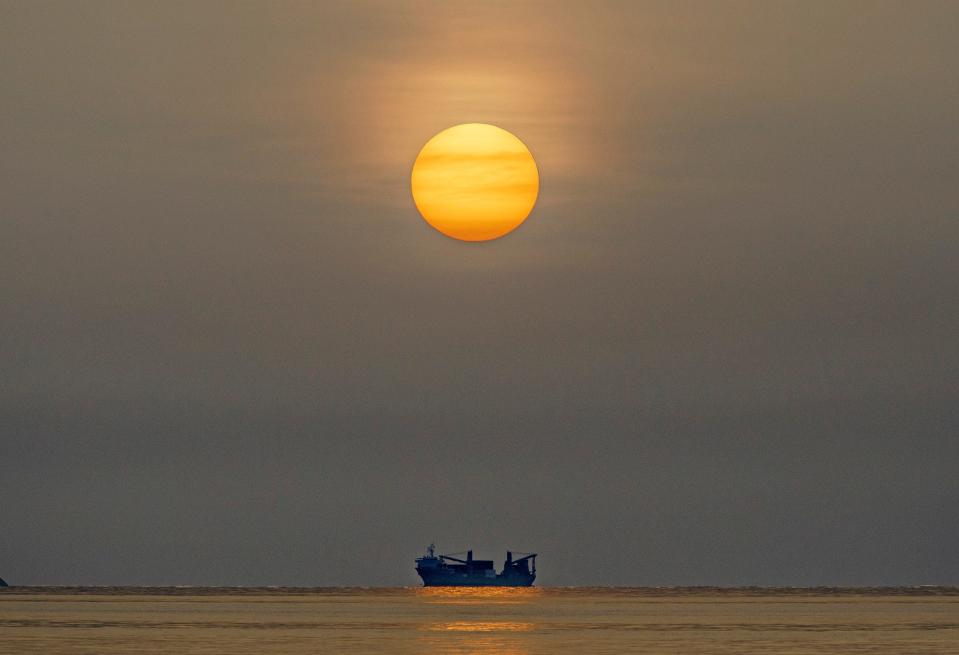
Update: National Hurricane Center ups development chances of tropical wave despite Saharan dust
The tropical Atlantic is defying the large plume of Saharan dust wafting across the basin with the National Hurricane Center watching two areas for potential development over the next seven days.
One spot in the western Caribbean has a low chance of development but the second, which is a few hundred miles southwest of the Cabo Verde Islands, was upgraded Wednesday afternoon to having a medium chance of becoming a tropical cyclone over the next seven days.
Neither area is a concern for Florida at this point.
Some experts see an increase in activity happening next week as storm-killing wind shear begins to lighten across the main runway between Africa and the Caribbean.
"While the Atlantic is off to a near average beginning, I expect things to pick up soon," said Colorado State University senior researcher and hurricane expert Phil Klotzbach.

Klotzbach said the ECMWF model, or European forecasting model, is honing in on the first system to form in the East-Central area of the Atlantic in the next seven days.
"The ECMWF model is pretty aggressive with its development," he said.
The spots being watched by the NHC are mostly disorganized showers and thunderstorms at this point. The one in the western Caribbean, dubbed Invest 94-L, is sprinting west at about 25 mph and may run out of time to organize before it reaches land in Central America or the Yucatan Peninsula. The NHC is giving it a 20% chance of development over seven days.
In the far eastern tropical Atlantic, the area noted by the NHC was given a 40% chance of development over seven days.
Hurricane Season 2024: Hurricane track forecasts have hit a wall but new modeling may give them a boost
The systems are trying to organize despite the largest outbreak of storm-hindering Saharan air to cross the Atlantic this hurricane season. Satellite images show the cloudy clusters slipping under and in front of the Saharan dust, giving them more access to gooey tropical moisture.
Jason Dunion, a University of Miami meteorologist working with NOAA and the Atlantic Oceanographic and Meteorological Laboratory to study Saharan dust, said the outbreak is about 3,000 miles long and is about on par with what is typical this time of year.
But he said the dusting in the Atlantic has been off to a slow start and that from March to early June, there was less Saharan air activity than usual. He said 2023 experienced a similar reduction in dust activity during the same time period.
Dunion said scientists don't know why the Saharan air layer has been less abundant.
Scary trend: Major hurricanes in October and November — why is it happening?
"We have some hunches related to weather patterns over Africa that we need to look into, but it's still a mystery at this point," he said. "These dust outbreaks can be as large as the lower 48 U.S. states, routinely travel thousands of miles across the Atlantic to reach places like South (Florida), and can squash the development of clouds and even hurricanes. Something this impactful needs to be studied and better understood by scientists."
There has been one named storm in the Atlantic this season with Tropical Storm Alberto. The next two names on the 2024 hurricane list are Beryl and Chris.
What is Saharan dust?

It is dust made up of sand and mineral particles swept up from 3.5 million square miles of Africa's Sahara Desert.
Also called the Saharan Air Layer (SAL) by the National Oceanic and Atmospheric Administration, the dust forms over the Sahara Desert during the late spring, summer and early fall.
Its dust clouds can travel and impact locations around the globe, thousands of miles away from its African origins. The warmth, dryness and strong winds associated with the dust clouds have been shown to suppress tropical cyclones.
Kimberly Miller is a journalist for The Palm Beach Post, part of the USA Today Network of Florida. She covers real estate and how growth affects South Florida's environment. Subscribe to The Dirt for a weekly real estate roundup. If you have news tips, please send them to kmiller@pbpost.com. Help support our local journalism: Subscribe today.
This article originally appeared on Palm Beach Post: Even with thick Saharan dust, National Hurricane Center eyes two areas

