Record number of acres burned on national forest land in California
The U.S. Forest Service has set fire to more land than ever before in national forests across California.
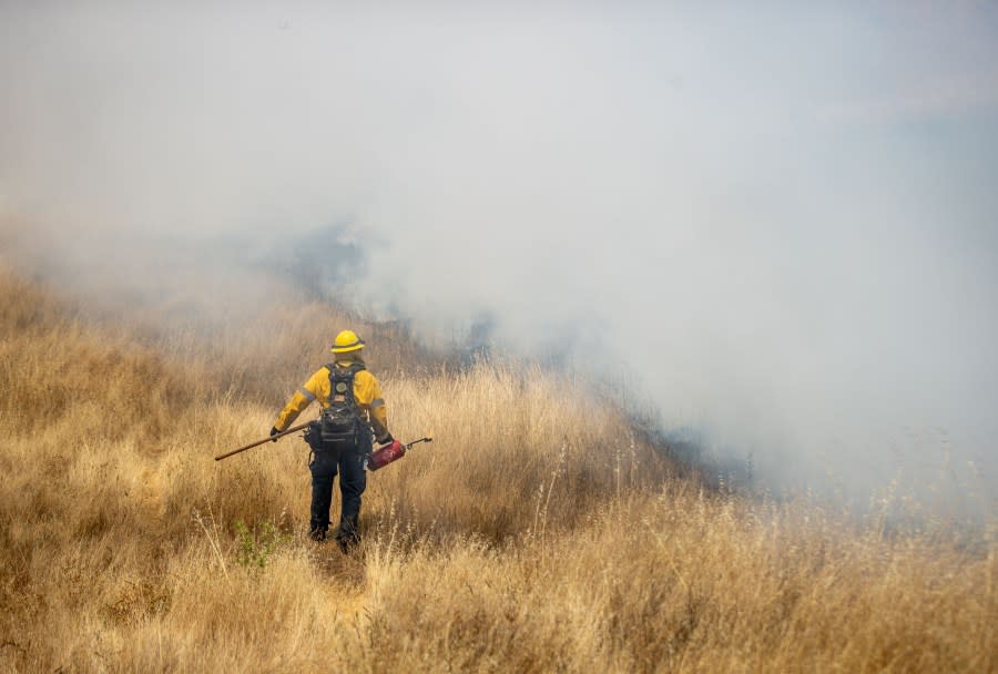
Preventative burning, or prescribed fires, have burned 63,878 acres of forest land, eclipsing the previous record set in 2018 when 63,711 acres were “treated” through the entire year.
The fires are set intentionally by trained crews as a means to reduce the amount of vegetation that acts as fuel for wildfires.
“We’re fully committed to increasing the scope and pace of our hazardous fuels treatment work in California, and it shows,” said Jaime Gamboa, Pacific Southwest Region fire director for the U.S. Department of Agriculture. “Restoring natural fire to these ecosystems not only helps mitigate threats to communities but also increases forest health overall.”
Despite the risk they pose to homes and communities, forest fires can act as a vital part of the natural cycle necessary for maintaining an ecosystem’s overall health. Without them, forests often became overcrowded and unhealthy, trees become stressed and plant species that are dependent on fires disappear.
“Reintroducing fire also minimizes the spread of pest insects and disease, recycles nutrients back to the soil, and improves natural conditions for native flora and fauna,” a release from the USDA states.
Ultimately, though, the prescribed fires are meant to mitigate the potential risk of severe fires that can devastate communities and uproot lives.
Intense planning is involved in these intentional fires, with USDA officials evaluating the vegetation density and type, elevation, location, proximity to communities and the natural fire frequency of the landscape.
Temperature, humidity, winds and smoke dispersal are other factors considered when planning a prescribed burn.
Conditions for a planned burn are typically best later in the year when temperatures are lower and precipitation is more likely, but USDA says the decision to set a prescribed fire is made “shortly before a burn.”
For an interactive map that shows where these fires are taking place across the U.S., click here.
Copyright 2024 Nexstar Media, Inc. All rights reserved. This material may not be published, broadcast, rewritten, or redistributed.
For the latest news, weather, sports, and streaming video, head to KTLA.

