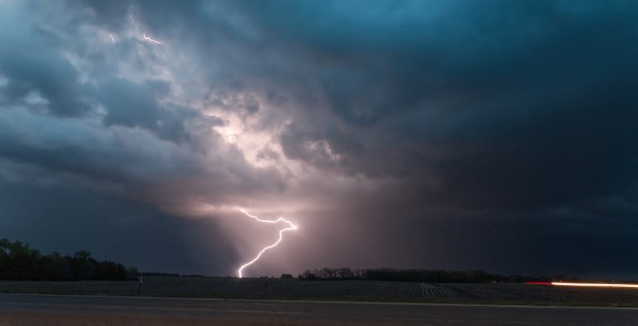
Severe storms come to an end, cooler tomorrow

What We’re Tracking
Strong storms come to an end
Midweek storm chance
Cooler second half of week
Watching some storms developing along a frontal boundary across northeast Kansas this morning. Some storms have the potential to become strong to severe. This round of storms will dissipate in the later morning to early afternoon hours.
Temperatures will make a significant cool off for your Tuesday, but keep in mind we are cooling off from the lower 100s. Highs today will be in the lower 90s, but heat index still creeping near upper 90s. Winds will finally shift from the south to the northeast.
We have another rain chance by Tuesday night into early Wednesday. Temperatures should drop into the lower to middle 80s for the second half of the week as some very pleasant July weather settles in for several days.
KSNT Storm Track Meteorologist Ely Millard
Copyright 2024 Nexstar Media, Inc. All rights reserved. This material may not be published, broadcast, rewritten, or redistributed.
For the latest news, weather, sports, and streaming video, head to KSNT 27 News.

