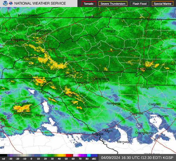
Severe Thunderstorm alert Aug. 2 in Asheville, power outages possible
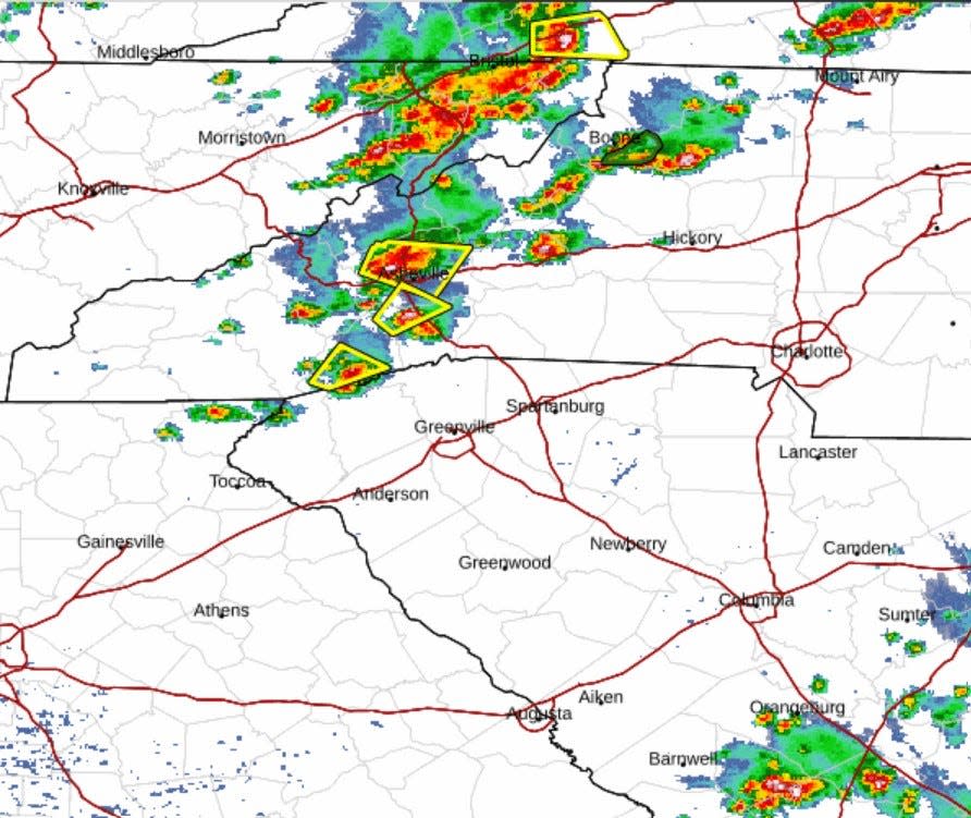
A severe thunderstorm warning has been issued for the Asheville area by the National Weather Service. The alert, which was issued at 1:16 p.m. Aug. 2, is active through 2:30 p.m. A severe thunderstorm was located 7 miles northwest of Hendersonville near Mills River moving northeast at 10 mph.
The alert advised residents of the area to move to an interior room on the lowest floor of a building for protection.
Duke Energy outages Aug. 2
As of 2 p.m., the Duke Energy outage map shows fewer than 1,000 Western North Carolina customers without power. The NWS weather alert advises to expect potential damage to power lines during the storm.
Hail, heavy winds and thunderstorms
The NWS alert said radar shows the potential for wind gusts of up to 60 mph, as well as penny sized hail of up to 0.75 inches. This weather may cause damage to trees and power lines, and may affect the following areas:
Arden
Mills River
Fletcher
Asheville Airport
Skyland
Forge Mountain
Mountain Home
Horse Shoe
Etowah
Asheville weather this weekend
Thunderstorms are likely tonight before 1 a.m., followed by dense fog after 4 a.m. Saturday will see a high of 86 degrees with a slight chance of showers and potential for thunderstorms. Predictions are similar for Sunday, with a high of 85 degrees predicted, and more chances for showers and thunderstorms.
This article originally appeared on Asheville Citizen Times: Severe thunderstorm alert for Asheville, Western NC: power outages.

