South Fork Fire, Salt Fire burning Mescalero tribal land, near Ruidoso: Fire map, live cam
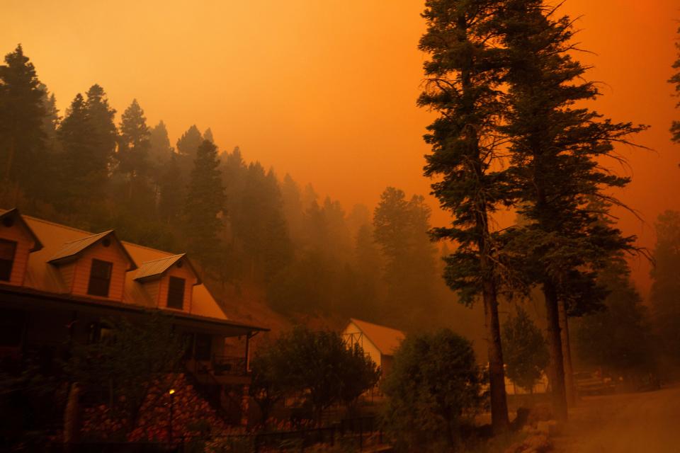
Residents of the Village of Ruidoso are under an emergency mandatory evacuation order due to wildfires in the area.
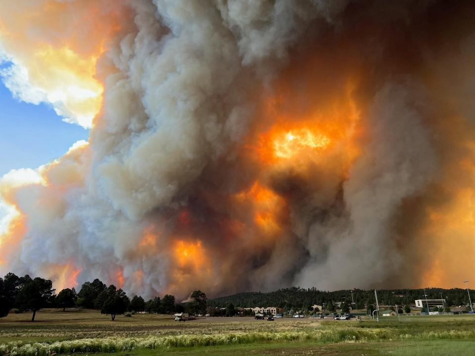
The South Fork Fire and the Salt Fire are burning on Mescalero tribal land, near Ruidoso, according to the New Mexico Forestry Division.
Residents should evacuate immediately without gathering belongings or attempting to protect their homes., officials with the Village of Ruidoso shared via social media at 6:54 p.m. on Monday, June 17.
Several roads are closed, including Highway 48 and Highway 70 at Apache Summit. The only evacuation route is Sudderth to Highway 70 out to Roswell.
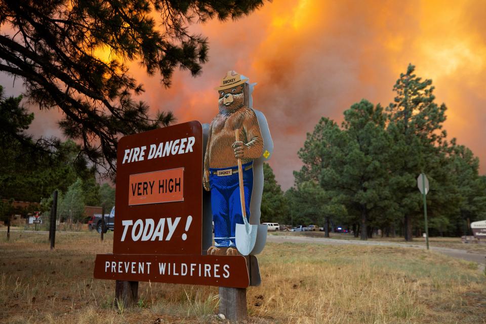
A fire warning has been issued for portions of Highway 70 between Casino Apache and the Lincoln County Line, according to the National Weather Service.
Travelers should not drive into smoke and follow updated guidelines from local officials.
Ruidoso fire containment
South Fork Fire: 15,276 acres; containment: 0%.
Salt Fire: 5,557 acres; containment: 0%.
Ruidoso fire map today
The fire tracker provides a map with pinpoint locations of each fire and shows where red flag warnings are in effect, among other information. You can also click on each point to see detailed information on the fire in that area.
If you can't see the map above, click on this link.
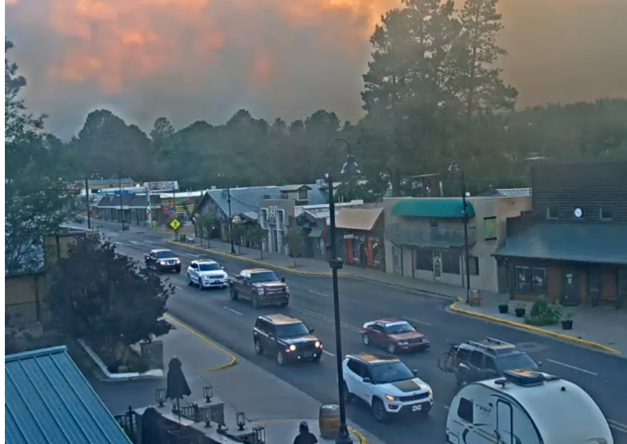
Ruidoso live cam Midtown
Live footage from Ruidoso can be seen below and at Ruidoso.net.
Inn of the Mountain Gods evacuation center
Evacuation centers have been established to accommodate evacuees:
Inn of the Mountain Gods Convention Center: Open to all evacuees, regardless of tribal affiliation. The center is prepared to receive those seeking shelter.
Mescalero Community Center: Available for evacuees from the surrounding area.
Livestock can be held at the Mescalero Rodeo Grounds for those in need. Call 575-973-1394 for more information.
Roswell shelter info
The city of Roswell, in collaboration with the Red Cross, has established an emergency shelter for residents evacuating Ruidoso due to ongoing wildfires.
Location: Eastern New Mexico University: Roswell Gymnasium
Address: 52B University Blvd., Roswell, New Mexico.
Residents with RVs and large animals can utilize the Eastern New Mexico State Fairgrounds at 2500 SE Main St. Evacuees are encouraged to seek refuge at these locations until it is safe to return home, Roswell city officials said.
This article originally appeared on El Paso Times: South Fork Fire, Salt Fire burning Mescalero tribal land, near Ruidoso
