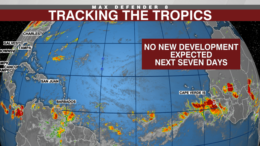
Tracking the Tropics: When will the tropics come back alive?

TAMPA, Fla. (WFLA) — After a somewhat active start to the season with three named storms checked off the list in six weeks, things have quieted down. But when will they get active again?
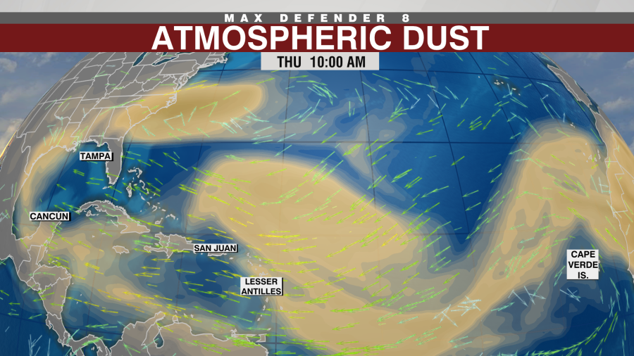
Since Beryl’s demise last week, Saharan dust has taken over the Atlantic, Caribbean and at times, the Gulf of Mexico. It has brought hazy skies, a few colorful sunrises and sunsets, and but also have helped create an unfavorable environment for tropical development.
Another factor that has helped create an unfavorable environment is sinking air. For thunderstorms to grow and organize into tropical systems, rising air is crucial. Storms must rise for them to be able to grow stronger but sinking air will lead to thunderstorms fizzling out.
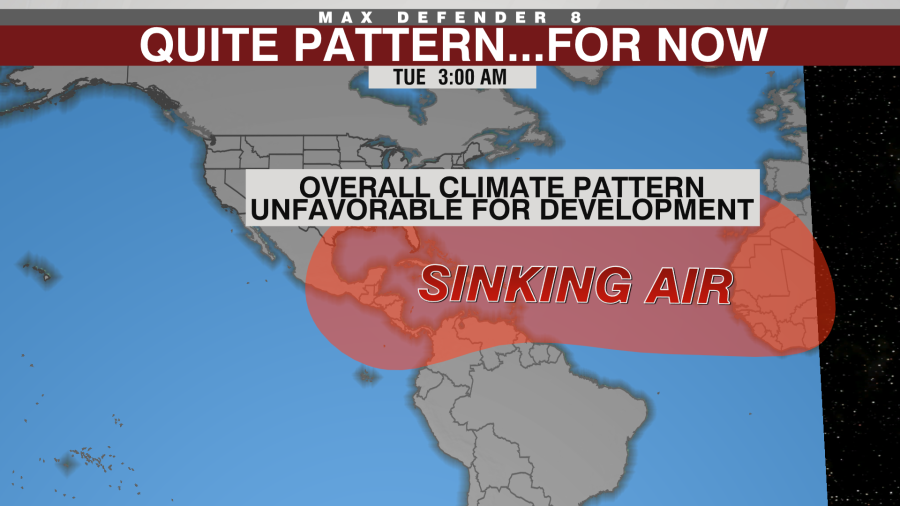
A large area of high pressure is covering the Atlantic from east to west through the Caribbean helping to limit thunderstorm activity. This large scale weather pattern will stick around for the next week or two before the pattern changes.
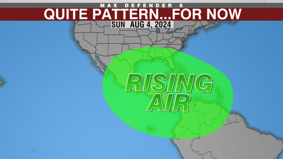
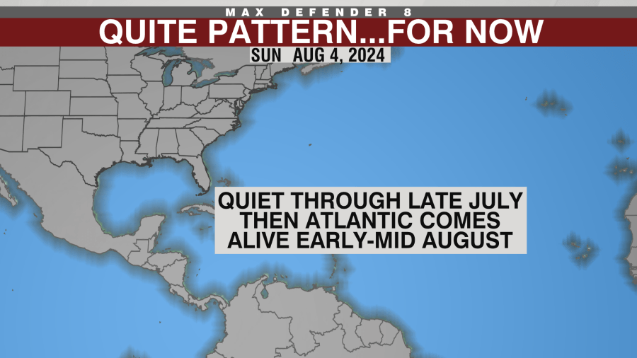
A large area of rising air is forecast to move from the Pacific into the Atlantic by early to mid-August. This will lead to a more favorable pattern for the tropics to start waking up again. During this time, the Saharan dust plumes typically start to wind down and the focus for tropical development shifts to any tropical waves that come off the coast of Africa.
With rising air in place, those tropical waves will have a better shot at developing as they move over the warm to record warm waters. Until then, development chances will likely stay low.
Thanks for signing up!
Watch for us in your inbox.
Subscribe Now
Tracking the Tropics
Copyright 2024 Nexstar Media, Inc. All rights reserved. This material may not be published, broadcast, rewritten, or redistributed.
For the latest news, weather, sports, and streaming video, head to WFLA.

