Tropical Storm Lee expected to become ‘extremely dangerous hurricane’ by weekend

TAMPA, Fla. (WFLA) — Another major hurricane could be on the horizon as Tropical Storm Lee took shape in the central tropical Atlantic Ocean Tuesday evening.
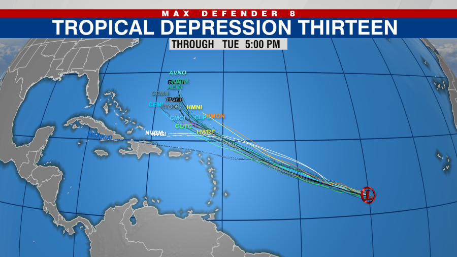
The National Hurricane Center said Lee formed over the central tropical Atlantic about 900 miles west-southwest of Cape Verde. The storm had maximum sustained winds of 45 mph with higher gusts.
2 bitten by shark at same Florida beach, officials say
The NHC said Lee is “expected to rapidly intensify into an extremely dangerous hurricane by the end of the weekend.”
The NHC is also tracking a strong tropical wave that is forecast to move off the coast of West Africa on Tuesday.
Once the wave moves offshore, the NHC said a tropical depression could form over the far eastern tropical Atlantic during the middle to the latter part of the week.

The system is expected to move across Cape Verde Wednesday night and Thursday. It has a 70 percent chance of formation over the next seven days.
The NHC also said Post-Tropical Cyclone Franklin “could acquire some subtropical or tropical characteristics late this week or this weekend while it moves erratically between the Azores and Portugal.”
The system, which was once Hurricane Franklin, has a 20 percent chance of forming over the next seven days.
For the latest news, weather, sports, and streaming video, head to WesternSlopeNow.com.

