Utah communities prepare for possible flooding from tropical storm remnants

Grand County officials sent out a reminder about where to go to collect sandbags as communities, especially in eastern Utah, prepare for possible flooding as moisture from what was Tropical Storm Alberto could produce flash flooding on Friday.
The National Weather Service issued flood watches covering several Utah communities, including Blanding, Escalante, Green River, Kanab, Moab and Torrey, which will be in effect from noon to 9 p.m. on Friday.
"Anomalously high moisture content air will combine with a mid-level disturbance to aid in the development of strong thunderstorms capable of heavy rainfall," the watch states. "Heavy rainfall may result in flooding of slot canyons, recent burn scars, normally dry washes and other flood-prone locations."
Grand County emergency officials and Moab police reminded residents that there are several 24/7 sandbag-filling locations, which are located at the 3251 Westwater Road and 4012 Beeman Road fire stations, and the former Red Rock Elementary School (685 S. Millcreek Drive) in Moab. Residents can also fill up bags at the Moab City Public Works Yard (470 Kane Creek Blvd.) until 2 p.m. on Friday.
A flood watch is in effect Friday from noon until 9pm for portions of eastern Utah. Areas most likely to see flash flooding include slot canyons, normally dry washes, and areas near recent burn scars. Moisture will linger on Saturday with a lesser threat for flooding. #utwx pic.twitter.com/rou0NRRVuv
— NWS Salt Lake City (@NWSSaltLakeCity) June 20, 2024
While the watch is only in effect on Friday, the weather service notes there will be some flash flooding potential in Utah on Saturday as the very western edge of the storm system moves on through.
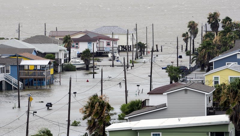
Alberto is this year’s first named storm of the season across the Atlantic Ocean and made landfall in Mexico on Thursday, bringing heavy rain to Mexico and Texas, according to The Associated Press. The outlet reported that at least three people died because of its rainfall.
Some showers and thunderstorms tied to Alberto's moisture have already impacted parts of southeast Utah on Friday after some storms on Thursday; however, most of the Alberto-related storm activity is expected in the afternoon and evening, impacting most of eastern, central and southern Utah.
"(We're expecting) a cluster and complex of storms across the Utah mountains, mainly I-15 eastward, including southwest Wyoming, the Uinta Basin and even extreme southeast Utah," said KSL meteorologist Matt Johnson, adding there could be strong "standalone storms" in parts of the state that could produce heavy rainfall in a short time.
Residents aren't the only ones who should pay attention to the flooding potential.
Flash flooding is considered "likely" in popular recreation areas like Arches, Canyonlands and Capitol Reef national parks, as well as Lake Powell and Grand Staircase-Escalante National Monument. Flooding is also possible in areas like Zion National Park.
Cora Phillips, Grand County's emergency management director, points out that it doesn't take long for slot canyons or low-lying areas to flood, which can be dangerous to visitors of these recreation areas. She advises park visitors to pay attention to the conditions while outside.
"When you see gray clouds, dark clouds on the mountain, certainly any indication that there might be a flash flood potential or flood potential, get to high ground to eliminate that risk," she said. "If you can change your plans, I would recommend to do so."
Flooding potential is expected to drop on Saturday as the system tapers off. Hotter and drier conditions are forecasted throughout the state by the end of the weekend, the first weekend of summer.
High temperatures are forecasted to reach the upper 90s and low 100s throughout most of the Wasatch Front this weekend and into early next week. That’s after a cold front that swept through the state earlier this week dropped Salt Lake City’s high temperature to just 69 degrees on Tuesday.
High temperatures in St. George are forecast to reach close to 110 degrees by early next week, as well.
Full seven-day forecasts for areas across Utah can be found online at the KSL Weather Center.
Contributing: Shelby Lofton
Eastern Utah bracing for severe weather

