Weather system spawns thundershowers, possible tornado. Next: Unbearable heat
The rash of thunderstorms passing through metro Detroit overnight and early Monday are part of a larger, fading weather system that moved from Kansas City through Chicago and into western Michigan, spawning high wind events, including one that might have been a tornado.
"The last vestiges of the weather system are rolling through this morning," Kyle Klein, a meteorologist with the National Weather Service in White Lake Township, said. "This stuff should scoot out of the area during the mid-morning period, and we should have drier weather this afternoon."
But there could be more rain Monday evening and Tuesday.
The weather service in Grand Rapids said early Monday it has sent a team out to confirm whether a tornado touched down in Van Buren County just before 10 p.m. Sunday, where damage to trees — and a home — had been reported.
A local firefighter reportedly spotted a tornado, but it has not been confirmed.
"We don’t know anything definitive yet," T.J. Turnage, a weather service meteorologist in Grand Rapids, said early Monday. "The only damage we are aware of is in northeast Van Buren County, mainly between Bloomingdale and Gobels."
At about 10:30 p.m., there also were reports of another possible tornado near the Kalamazoo/Battle Creek International Airport in Portage. However, the weather service said early Tuesday it concluded it was a 76 mph wind gust, not a tornado.
More: Deadly tornado in Livonia struck without warning
The weather also knocked out power to thousands of customers. At 8 a.m., Consumers Energy reported more than 27,000 of its customers were without electricity, and DTE said it had about 1,000 more. Both utilities said they were trying to reconnect lines.
"Crews will be working through the day today to restore power, focusing on assessing damage and restoring critical customers first," Consumers Energy said. "Lineworkers can work as long as 16 hours at a time, and work will continue until power is restored to everyone."
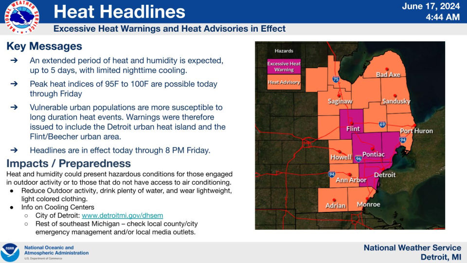
As for Monday’s forecast, expect it to be hot, in the 90s, with some rain throughout the morning, and again in the evening — and possibly Tuesday afternoon and evening. By mid-week, the temperatures are expected to soar into the upper 90s, with a heat index of more than 100.
Contact Frank Witsil: 313-222-5022 or fwitsil@freepress.com.
This article originally appeared on Detroit Free Press: As storm system fades, weather service invests Michigan tornado report

