Williamson commissioner: County planning response for natural, manmade disasters
Yep, those meteorologists sure seem to have their vision of 2024 nailed down this spring when they predicted a more active hurricane season than usual. Refreshing your memory, experts predicted 17 to 25 named storms of which eight to 13 will be hurricanes and four to seven of those expected to be major hurricanes. Well, our second named storm, Beryl, was the earliest Category 4 and earliest Category 5 hurricane ever and set a record for fastest growth, gaining 65 mph in 24 hours. And, we have the perfect ingredients for such creations: the hottest Atlantic Ocean, Caribbean Sea and Gulf of Mexico in history.
So why didn’t Central Texas get any rain from this monster? First, it was reduced to a Category 1 hurricane when it hit Matagorda. And second, apparently, the atmospheric conditions of our heat dome provided a shield forcing Beryl to stay east and travel diagonally across the country. We sure could use a good soaking, often provided by stalled storms like tropical storm Hermine (16” in Georgetown, 14” in Round Rock). Driving to Colorado that day in 2010, it took me nine hours to get out from under the cloud cover. Then there was the 2015 stalled storm between Hutto and Taylor causing massive damage to the Taylor airport, the shutdown of U.S. 79, and isolating the Electric Reliability Council of Texas, thereby being a threat to the rest of the state’s power grid. ERCOT manages the flow of electric power to more than 27 million Texas customers.

Maybe we should have a contest for the date of the next named storm with a bonus for whether it will become a hurricane? The names selected for 2024 are: Alberto, Beryl, Chris, Debby, Ernesto, Francine, Gordon, Helene, Isaac, Joyce, Kirk, Leslie, Milton, Nadine, Oscar, Patty, Rafael, Sara, Tony, Valerie and William. Which will be the worst of the bunch?
Williamson County has been working hard with three engineering groups to apply the Atlas 14 rainfall data across our county incorporating the topography, impermeable surfaces, culvert information, etc., to obtain realistic information about flood tendency as Federal Emergency Management Agency maps are outdated and limited in coverage. We have worked for three years and aren’t finished yet as we take the data through simulations identifying possible changes to mitigate flooding and its damage.
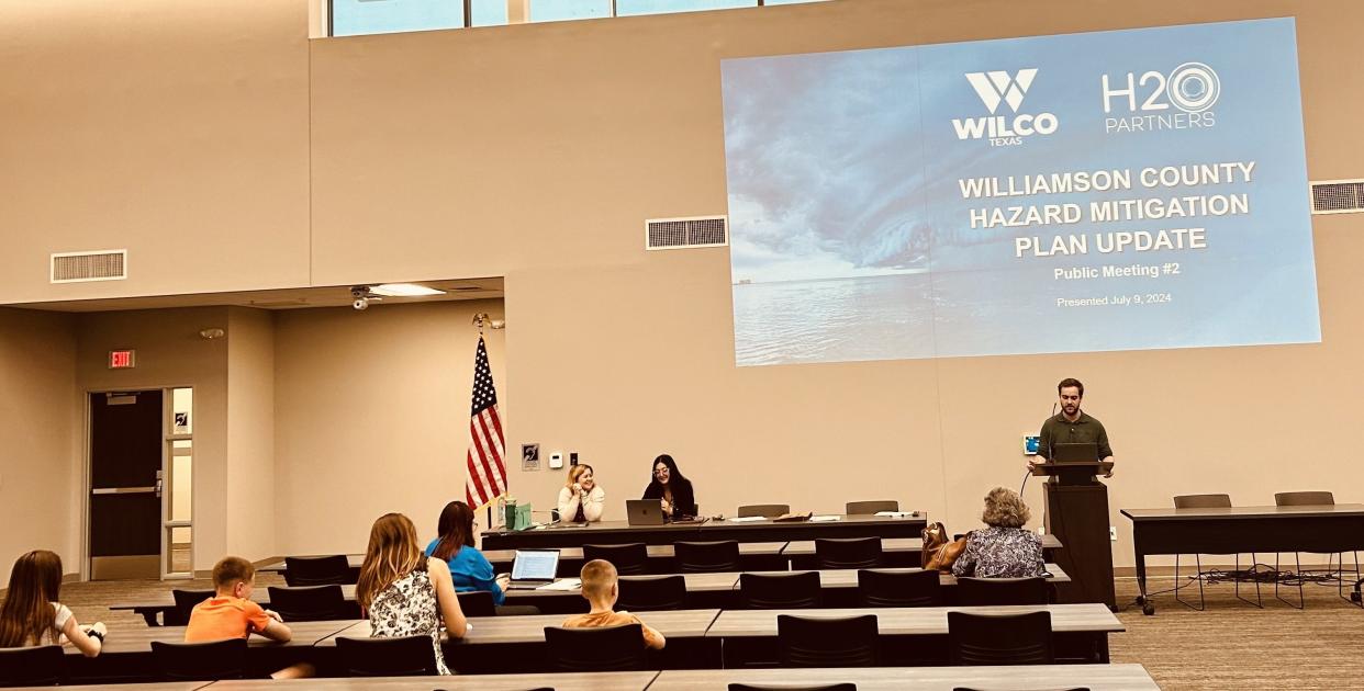
I believe the study will be completed by the end of 2025. Meanwhile, hazard mitigation plans, or HMAP, required by FEMA to be updated every five years should you want financial aid following a disaster declaration, are being updated for the county’s response to all kinds of disasters. Most are naturally occurring like storms, earthquakes, tornadoes, winds, wildfires and volcanoes. It can happen: May 18,1980, Washington State’s Mount St. Helens apocalyptic explosion sent an ashen/gaseous plume 80,000 feet into the atmosphere. It took only three days for the ash to cross America, two weeks to circle the globe. The Cascade Range is an active volcano breeding ground. Then there’s Mexico, including the Pacific Ring of Fire. In 1943, a cone volcano suddenly emerged in a cornfield, perfectly shaped, hence “cone” volcano. We know flooding, wildfires and tornados well. What about a manmade disaster? Firefighting in a manufacturing facility with hazardous odorless/colorless chemicals is a completely different endeavor. What about targeted terrorist strikes? We’re making rockets and automobiles — tomorrow it’s highly prized chips. There will be more prized, perhaps coveted products being created right here in Williamson County. Disasters happen. This HMAP addresses the disaster life cycle: preparedness, response, recovery and mitigation.
We have partners joining in the creation and review of our plan: the city of Hutto, the Meridian World School and the independent school districts of Hutto, Liberty Hill and Georgetown. Additionally, we have the services of national experts in hazard mitigation, H2O Partners, Inc., to help complete this major project. All other entities required to have approved Hazard Mitigation Plans are either on their own, the Round Rock school district, for instance, or through unions with other county or regional entities to create their unique comprehensive plan. We’re updating our current plan — far easier than starting from scratch. The drafts of the plans are first reviewed by the team creating them.
The plan includes a capability assessment — the programmatic, technical, administrative and fiscal capabilities of the entity creating it. The plan will also contain a Hazard Identification and Risk Assessment section that uses past events as well as the current status of critical facilities like wastewater treatment plants, water treatment plants, fire stations, schools, police and sheriff’s facilities, hospitals, power plants and nursing homes. The last section of this massive document will be Mitigation Strategy Development, the collective assembly of all the data is examined and addressed here. The mitigation strategy incorporates all the areas: needs, capabilities, recovery strategies and even public education needs.
Then when you think you’re done, the plan goes to the Texas Department of Emergency Management in Austin for its review and approval. Once all needed and highly suggested changes have been incorporated, the plan goes to FEMA, and we wait … could be as fast as 45 days before you know it’s approved or returned with changes needed. Now during the time it’s at TDEM, this document will be available for all interested parties to review on the wilcotx.gov website.
Our Atlas 14 work elevates our credibility with FEMA and may provide a significant share of our matching funds for FEMA grants, which also provide some funding for mitigation, just not recovery and response costs. All funding is highly competitive.
You can join in now by taking a 6-minute survey of your exposures to hazardous conditions and insights gained at Williamson County Hazard Mitigation Action Plan Update Public Survey (Page 1 of 5) (office.com)
The first draft of the Atlas14 flood information can be found at Atlas 14 | Williamson County, TX (wilcotx.gov); mapping capabilities for you will be available in 2025 when this phase of the study ends.
Terry Cook is county commissioner of Precinct 1, which includes most of Round Rock, most of Austin in Williamson County and part of southern Cedar Park.
This article originally appeared on Austin American-Statesman: Commissioner Cook: County plans response for natural, manmade disasters

