What’s next for California storms? What to know as rain, snow and cold sweep US
Rainy weather is headed to California as snow storms and blizzard conditions continue to blast parts of the United States.
According to the National Weather Service’s forecast on Wednesday, a major storm with snow, rain and wind is expected to sweep through the eastern U.S., while the central part of the country will experience an arctic blast.
Severe weather conditions are expected to last a week, starting Wednesday and continuing through Jan. 17.
Blizzard in the Cascades begins tonight where multiple feet of snow are expected. This storm then redevelops over the central U.S. late this week. pic.twitter.com/aX9tp7edge
— NWS Weather Prediction Center (@NWSWPC) January 8, 2024
Experts at the National Oceanic and Atmospheric Administration forecast a polar vortex will stretch into parts of North America in the coming days.
A polar vortex is an area of low pressure and cold air surrounding the Earth’s poles, the NWS said on its website. It often strengthens and expands in the winter, causing cold air and a jet stream to seep into the U.S.
As of the Monday forecast, NOAA is expecting the vortex to “stay weak” for the next two weeks while elongating into North America.
“However, there remains considerable uncertainty in how the polar vortex will evolve after mid-January,” NOAA said on its website. “Meanwhile, there are indications that even this minor warming may help reinforce the chances of colder weather patterns in some areas over the next couple of weeks. Stay tuned!”
Recent atmospheric patterns don't match those that typically precede a sudden stratospheric warming event. But forecasts do suggest the polar vortex might get stretched out of shape in coming weeks. Read the latest Polar Vortex Blog: https://t.co/xwvurhLT1T pic.twitter.com/zkIbCmiidf
— NOAA Climate.gov (@NOAAClimate) January 8, 2024
Will California see rain and snow?
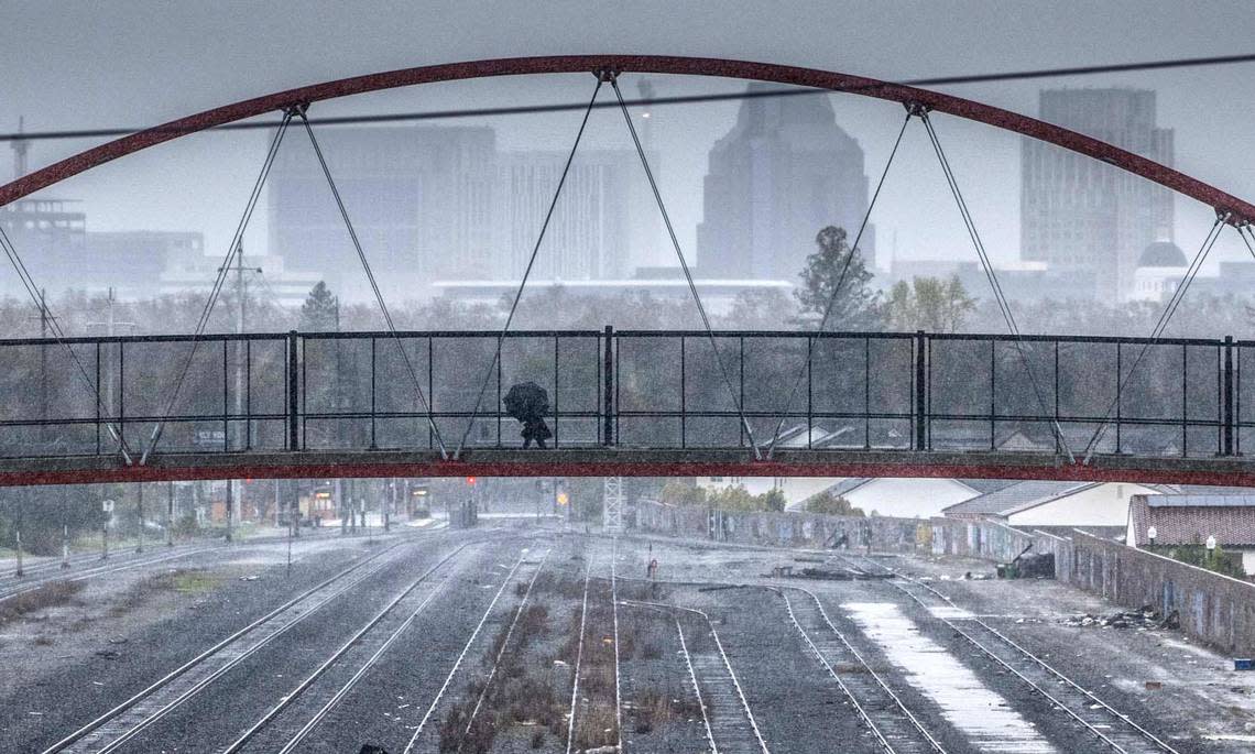
California will see wet and snowy conditions over the next few days, according to the National Weather Service.
“Heavy rainfall is possible for portions of the central Oregon coast down into Northern California where a marginal risk of excessive rainfall is in effect,” the service forecast.
The Klamath Mountains in northwestern California and Mount Shasta in Siskiyou County may also see heavy snow, according to the forecast.
The weather service’s National Forecast Charts show rain falling in most of California on Wednesday, with mixed precipitation — a combination of freezing and frozen precipitation — scattered toward the north of the state and mountain ranges.
Heavy snow is also predicted in the far northern region and mountain ranges.
As of Wednesday morning, parts of the Sierra Nevada, coastal range and Lake Tahoe area were under a winter storm or weather advisory, according to the National Weather Service.
The agency issued weather warnings for several counties across California, including freeze watches in Tulare, Kings, Kern, Los Angeles, Merced, Fresno and Madera County.
High surf and strong rip currents were expected to hit California’s Central Coast on Wednesday and Thursday, the weather service warned, resulting in “moderate coastal flooding” at beaches in Los Angeles, Ventura and Santa Barbara counties.
Rain and some thunderstorms are expected on Thursday, hitting Southern California.
From Friday to Saturday, residents in parts of northern California may see rain, mixed precipitation and heavy snow.
How cold will it get in California?
The National Weather Service predicted chilly temperatures for much of California.
In Shasta County near the border between California and Oregon, high temperatures from Wednesday through Tuesday will range in the 40s and lows in the 30s, according to the weather service.
The mercury will dip down to 23 degrees on Wednesday night, the agency said.
During the same time period, the Sacramento and San Francisco areas are expected to see highs in the 50s and lows in the 30s and 40s, the weather service said.
Santa Barbara and San Diego counties can expect highs in the 50s and 60s and lows in the 30s and 40s, the weather service said.
Forecasted highs and lows for the week in Los Angeles County range from the the 30s to high 40s.
What do you want to know about life in Sacramento? Ask our service journalism team your top-of-mind questions in the module below or email servicejournalists@sacbee.com.

