New report: Ian winds topped 161 mph before landfall, costliest hurricane in state history
Hurricane Ian is now being classified as a Category 5 storm packing 160 mile per hour winds prior to landfall, according to a National Hurricane Center report released Monday.
The storm made landfall as a Category 4 Hurricane on Sept. 28, killing dozens and causing mass destruction along the Southwest Florida coast.
The report says Ian was responsible for 150 direct and indirect deaths and $112 billion in damages, which makes it the costliest hurricane in Florida history.
"What did change was the upward of the Category 5 before it made landfall," said Rodney Wynn, a meteorologist with the National Weather Service in Ruskin.
The Category 5 winds came at noon on the 28th, and the storm weakened slightly before making landfall at Cayo Costa.
More: Not all that great: Science increasingly dropping the 'great' from white shark
More: Most homes still empty in the storm-ravaged community of Island Park
More: Locally grown: Corkscrew Swamp Sanctuary's new director focuses on water, other issues
More: Wading bird season produced historic numbers in Everglades. What we know
How strong were the winds?
Winds at landfall dropped a little, to 150 miles per hour, according to the NHC report, which also says the storm made another landfall in Punta Gorda with winds of 145 miles per hour.
The estimates were made using Air Fort Reserve Aircraft, which made 14 flights into Ian.
It took about 90 minutes for Ian's eye wall to make it from Cayo Costa to Punta Gorda.
At 2 a.m., Hurricane Ian brought 127 mile per hour winds to the Dry Tortugas.
Exactly 24 hours after Ian's winds reached their peak, winds diminished to 69 miles per hour as it exited the Sunshine State.
How bad was the storm surge?
Hurricane Ian caused massive damages in Lee, Collier and Charlotte County, with all three experiencing storm surge, high winds and other hurricane conditions.
Rivers backed up, communities flooded, and the human toll was high.
Storm surge levels reached more than 15 feet on Fort Myers Beach, according to the National Weather Service in Ruskin. The heavy waves washed many buildings, cars and large boats away.
Storm surge on Sanibel was in the 12-foot range, according to the report, with parts of Naples seeing 6 feet. The Bookelia area at the north end of Pine Island had at least 3 feet of storm surge, the report says. The St. James area to the south end of Pine Island received between 6 and 9 feet of surge.
Boats larger than 40 feet were found more than a mile-and-a-half away from their dockages, and people were stranded on the barrier islands for days.
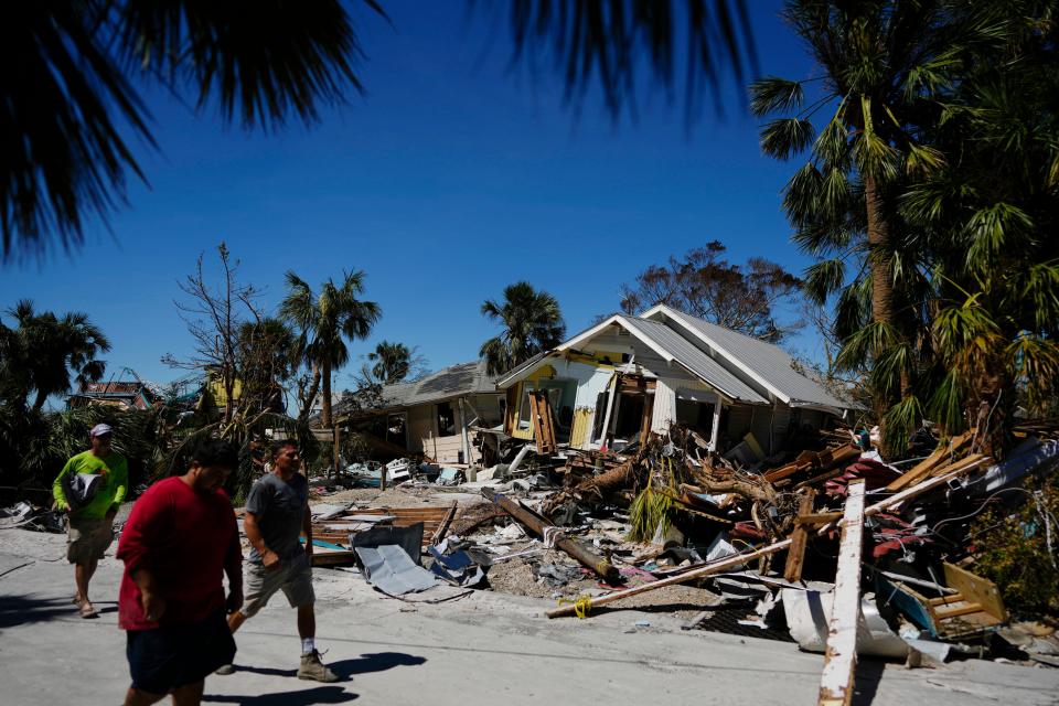
It’s been more than six months since Ian made landfall, but many of the hardest-hit areas are still in shambles.
Connect with this reporter: Chad Gillis on Facebook.
This article originally appeared on Fort Myers News-Press: Report: Hurricane Ian was Category 5, 161 mph winds before landfall

