Tropical depression forms in Gulf, Hurricane Franklin may become major hurricane soon
The National Hurricane Center is now issuing advisories on Tropical Depression 10 in the Gulf of Mexico, as well as Hurricane Franklin, located several hundred miles south of Bermuda, a tropical disturbance and a tropical wave.
Florida Gov. Ron DeSantis issued a state of emergency for 33 counties ahead of the possible tropical storm.
Coincidentally, as Florida enters the busiest part of the Atlantic hurricane season, which runs June 1 to Nov. 30, the second tax-free holiday of the year begins today (Aug. 26) and runs through Sept. 8. The 14-day tax-free period was added this year, ending right before the peak time of hurricane season, which happens Sept. 10. Although hurricanes can happen any time, historically, August through October is the busiest time.
Common household items found in a hurricane kit are exempt from sales tax during the two-week period. The tax holidays also include some items related to the safe evacuation of household pets.
Here's the latest update from the NHC as of 8 p.m. Saturday, Aug. 26.
Tropical Depression 10 could become Hurricane Idalia by the time it hits the Gulf Coast of Florida

Maximum wind speed: near 30 mph
Direction: northwest at 1 mph
As of 8 p.m., Tropical Depression 10 was about 45 miles east-northeast of Cozumel, Mexico. Maximum sustained winds were 30 mph. The storm is nearly stationary, and little movement is expected through Sunday.
A slow, generally northward motion is expected to begin on Monday. On the forecast track, the center will move into the southeastern Gulf of Mexico by Monday.
Gradual strengthening is forecast during the next 48 hours, and the system is likely to become a tropical storm on Sunday. The system could then become a hurricane over the eastern Gulf of Mexico by Tuesday.
The government of Mexico has issued a tropical storm warning for the Yucatan Peninsula from Tulum to Rio Lagartos. The government of Cuba has issued a tropical storm watch for extreme western Cuba for the provinces of Pinar Del Rio and the Isle of Youth.
Tropical Storm Franklin became a hurricane Aug. 26

Maximum wind speed: near 85 mph
Direction: north-northwest near 8 mph
At 5 p.m., the center of Hurricane Franklin was moving toward the north-northwest near 8 mph and anorthward to north-northwestward motion is expected over the western Atlantic through early next week.
Maximum sustained winds have increased to near 85 mph with higher gusts. Steady strengthening is forecast, and Franklin could become a major hurricane early next week.
Swells generated by Franklin are expected to begin affecting Bermuda by Sunday night. These swells are also likely to cause life-threatening surf and rip current conditions late this weekend into early next week along portions of the East Coast of the United States.
What to buy on tax-free holidays? Save on hurricane supplies. Here's a list of household items, pet supplies exempt from sales tax
What's out there and where are they?
As of 8 p.m. Saturday, Aug. 26, Tropical Disturbance 2 (AL92) was about 1,000 miles east-southeast of Bermuda and producing some disorganized showers and thunderstorms. This system has not become better organized since Friday, and development is becoming less likely while it moves generally northwest over the central subtropical Atlantic.
Formation chance through 48 hours is low at 10 percent.
Formation chance through 7 days is low at 20 percent.
As of 8 p.m. Saturday, Aug. 26, a tropical wave in the eastern tropical Atlantic was forecast to move off the west coast of Africa early next week. Some slow development of this system is possible during the latter part of next week while the system moves westward across the eastern tropical Atlantic.
Formation chance through 48 hours is low near 0 percent.
Formation chance through 7 days is low at 20 percent.
Living in Florida? These flood insurance facts could save you thousands
What are the next named storms of 2023?
The next named storms of the 2023 Atlantic hurricane season will be Idalia, Jose and Katia.
Who is likely to be impacted?
It's too early at this time to determine if there will be any impact to the U.S. from the tropical waves.
Forecasters urge all residents to continue monitoring the tropics and to always be prepared.
Weather watches and warnings issued in Florida
When is the Atlantic hurricane season?
The Atlantic hurricane season runs from June 1 through Nov. 30.
When is the peak of hurricane season?
The peak of the season is Sept. 10, with the most activity happening between mid-August and mid-October, according to the Hurricane Center.
Tropical forecast over the next seven days
Excessive rainfall forecast
What's out there?

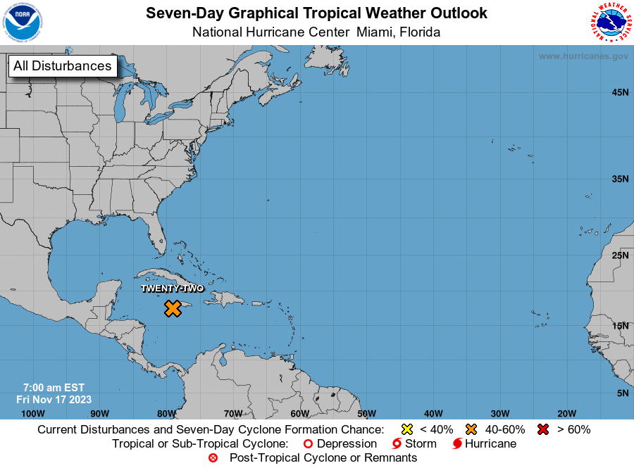
Systems currently being monitored by the National Hurricane Center.
What's next?
We will continue to update our tropical weather coverage daily. Download your local site's app to ensure you're always connected to the news. And look at our special subscription offers here.
This article originally appeared on Florida Today: Hurricane Franklin updates, NHC tracking tropical depression in Caribbean

