NJ weather forecast: Counties open Code Blue shelters but more moderate temps on the way
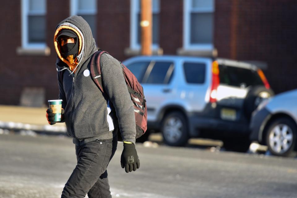
Counties across New Jersey activated "Code Blue" shelters amid the bitter cold this weekend, but the relief of slightly more moderate temperatures is on the way.
Temperatures dipped into the single digits overnight Saturday, continuing what's been a colder-than-average January. Tuesday could see the mercury climb as high as 40 degrees Fahrenheit in parts of North Jersey, but will also bring a chance of snow, according to the National Weather Service.
Winter is settling in following a warmer-than-average December, said meteorologist Michael Silva with the NWS office in Mount Holly.
“We may have a shot at some light snow flurries Sunday afternoon throughout New Jersey, but we are not looking at accumulating snow,” he said. “Highs will be in the lower 30s, a little colder up north and a little warmer down south but in the 30s overall.”
An Arctic air mass has brought frigid temperatures to the eastern two-thirds of the U.S. this weekend, the NWS' Weather Prediction Center added on its website. Still, "a gradual moderating trend is expected for the next couple of days as the arctic high pressure system weakens."
Sunday’s high temperatures will be in the lower 30s, except in the north. Morris and Sussex counties can expect highs in the upper 20s with temperatures dropping to single digits overnight, according to the Weather Service. Other parts of the state will drop to the mid-teens.
Monday's highs of the low-to-mid 30s, with 20s in the far north, will set the pattern for the rest of the week: cold and dry with temperatures just below normal.
'Weak system' could bring wintry mix
Tuesday will be the outlier, as meteorologists keep their eyes on a “weak system” that could bring precipitation in the afternoon and into the evening.
“It’s questionable whether it’s going to be warm enough for rain or cold enough for all snow, or a bit of a mix. We are still getting the details on that system,” Silva said.
The high Tuesday could rise to 40, but it’s “too soon to pinpoint,” he said. “Other than that it will be mostly dry with below-normal temperatures.”
There haven’t been many “normal days back to back” this winter, according to the meteorologist.
“For the most part it’s been above normal or below normal.”
Overall this winter — judging by data collected in Atlantic City and Newark — January has been a couple of degrees below normal while December averaged five to six degrees above normal.
“Once you get into January you have a little bit lower sun angle and it’s harder to get those warm days.”
Code Blue shelters
Bergen, Passaic, Morris, Essex, Sussex counties and the rest of the state had all opened their Code Blue warming shelters as of Saturday morning. The policy makes additional beds and shelters available to take people experiencing homelessness off the streets.
If you need shelter, call the statewide homeless hotline at 211 or 877-652-1148.
Gene Myers is a reporter for NorthJersey.com. For unlimited access to the most important news from your local community, please subscribe or activate your digital account today.
Email: myers@northjersey.com
Twitter: @myersgene
This article originally appeared on NorthJersey.com: NJ forecast: After arctic blast, temperatures expected to moderate

