Weather, wind chills will remain wretched into Friday as Interstate 29 reopens
A winter storm whipping winds across the region will likely make life miserable for the rest of the working week.
Ryan Lueck, a meteorologist with National Weather Service, said the storm is one of the worst arctic outbreaks the region has seen this winter. And it's not going to let up until Friday, most likely.
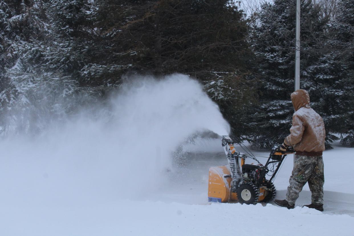
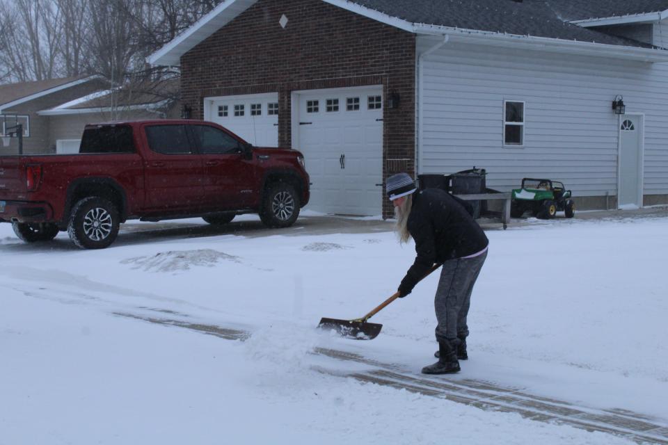
The snowfall started Monday morning and totals varied considerably. As of 6 a.m. Monday morning, the Hecla area in the far northeastern corner of Brown County had about 8 inches, while Aberdeen had 3.6 inches, according to NWS reports.
Things were worse to the north and east, including in the Sisseton area. Tuesday morning snow reports to the NWS included:
Sisseton area and central Roberts County: 10 to 11.5 inches
Browns Valley, Minn.: 12.8 inches
Ellendale, N.D.: 16 inches
There were smaller amounts of snow to the south, including in the Watertown area, Lueck said. There had been only an inch or so of snow in Watertown as of 6 a.m. Tuesday.
An atypical winter storm
The storm has been atypical because it's included of long durations of light to moderate snowfall, Lueck said. Often, snow is constant during winter storms and blizzards.
The snow has had low amounts of moisture, which means it won't be beneficial to soil, he said. That also makes the flakes more likely to be picked up by the wind, resulting reduced visibility and trouble for travelers.
Interstate 29 was closed from the North Dakota border to Watertown Monday evening and into Tuesday morning before it reopened. Visibility was especially problematic in Roberts, Grant and Marshall counties, Lueck said.
Almost all of northeastern South Dakota was in a no travel advisory through Monday night, including U.S. Highway 12 and U.S. Highway 281 though Aberdeen. Beyond visibility, drifting snow was a problem, according to the South Dakota Department of Transportation.
More: Weather cancellations, closures and postponements for Monday, Feb. 21 and Tuesday, Feb. 22
Scott Meints, Brown County emergency manager, said Tuesday morning that he knew of no power outages or people being stranded. He said there were some vehicles that were stuck in snow Monday night into Tuesday.
Dangerous wind chills to continue
People should be careful about the dangerously cold wind chills, Lueck said.
Frostbite can develop in as little as 10 to 20 minutes when it's 5 below, he said, and temperatures aren't expected to climb above zero until Thursday in Watertown or Aberdeen, and then only barely. Friday should be better, with highs in the lower teens, according to the forecast.
Wind chills across northeastern South Dakota could be 30 to 45 below until the winds subside.
Gusts throughout the region have been about 35 mph to 50 mph, said Lueck, with Summit seeing its strongest gust on Monday at about 11:30 a.m. at 49 mph.
A worker at the Coffee Cup Travel Plaza along Interstate 29 near Summit said winds and visibility remained a problem Tuesday morning.
That's not surprising as Brown, Roberts, Marshall, Day, Grant, Edmonds and McPherson counties remained in a blizzard warning as noon approached.
The Department of Transportation has an online highway map on its website for travelers who want to plan for the rest of the week.
Monday night, many schools started announcing class cancellations or late starts. Northern State University, Presentation College and K-12 schools in Aberdeen called off classes for Tuesday. In Watertown, classes started late at Lake Area Technical College and K-12 schools.
Many school-related events were also canceled or postponed.
This article originally appeared on Aberdeen News: South Dakota winter storm closes I-29, cancels classes in Aberdeen

