Nonprofit creates trail map to help navigate post-storm closures
After damaging January storms, a Santa Barbara-based nonprofit has launched an interactive map to help people find open recreation trails from San Luis Obispo to Los Angeles County.
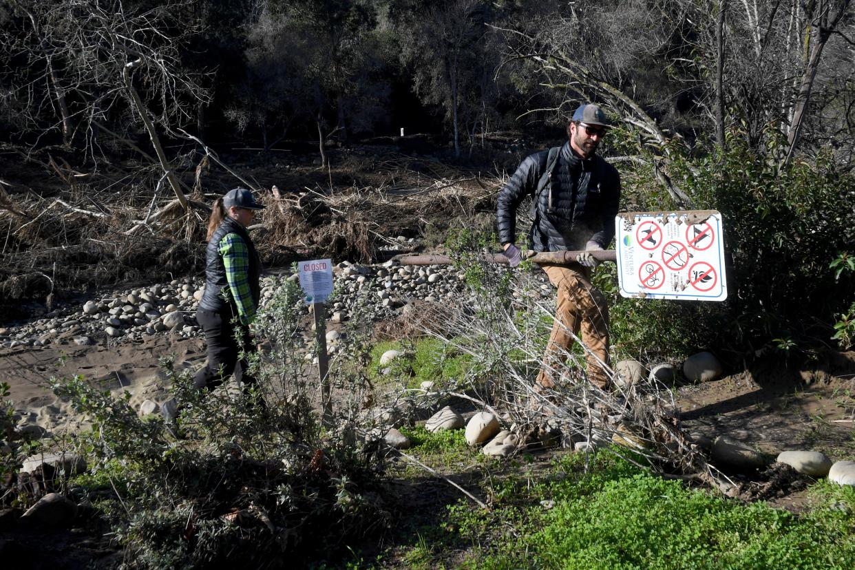
The storms drenched the region, triggering widespread closures because of flooding, debris flows, sinkholes and other damage. Some hard hit areas remain closed, while others have partially or fully reopened, and Los Padres ForestWatch wants to help people navigate the post-storm trail system.
With widespread closures, people always have questions about where they can hike or bike or go horseback riding, said Bryant Baker, the organization's conservation director. But it is challenging to find up-to-date information about trail status across multiple parks, forest areas and trail systems in one spot.
"We wanted to create that," Baker said.
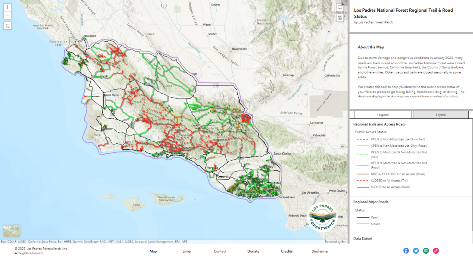
The Open Trails app includes close to 1,800 trails and roads from Morro Bay to Santa Monica, most located in the Los Padres National Forest and the Santa Monica Mountains National Recreation Area. The map also includes trails in city, county and state public parks and local preserves.
ForestWatch cautions that the map won't be perfect but currently is updated daily.
Much of the information comes from public websites or is provided directly from an organization. Bryant also has received first-hand accounts from people, and he encouraged folks to use the contact information on the map if they find a closure that is not listed.
He also has added links for more information on some of the trails — something he plans to expand — and hopes people see the map as a starting point.
"Then, I would encourage people to go and learn as much as they can about that trail before actually setting out, especially if it is a trail they haven't been on before," he said.
Find more information at LPFW.org/trails.
Cheri Carlson covers the environment and county government for the Ventura County Star. Reach her at cheri.carlson@vcstar.com or 805-437-0260.
This article originally appeared on Ventura County Star: Group creates trails app to help public navigate post-storm closures

