North Florida will dodge tropical cyclone, worst rain headed south | WeatherTiger
Potential Tropical Cyclone 1 is on the brink of becoming Tropical Storm Alex as of early Friday afternoon, with just a slight increase in organization needed for the system to receive a name. Whatever it is called, however, rainfall impacts on Florida are underway and will continue over the next two days.
After meandering the far southern Gulf for the last 24 hours, the system is now beginning to track northeast towards Florida at 5 to 10 mph and will do so into Saturday, plus or minus possible reformations of the surface circulation. Sustained winds are around 40 mph in squalls east of the center.
As expected, westerly wind shear of 30 to 40 knots is displacing all inclement weather well into the eastern half of the storm, and also means that only incremental strengthening is possible before the storm reaches the Southwest Florida coast early Saturday.
Earlier forecasts:
Heavy rainfall prospects rise, as does chance of tropical storm formation | WeatherTiger
Potential for low-end tropical storm this weekend kicks off hurricane season | WeatherTiger
Florida has avoided a direct hurricane hit since 2018; will it continue? | WeatherTiger forecast
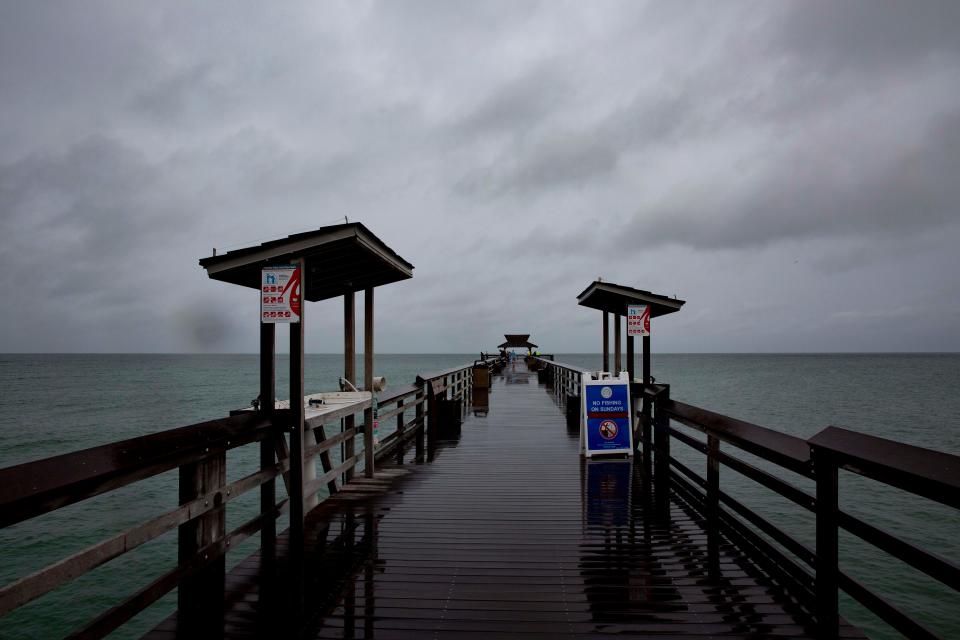
The ”potential tropical cyclone” designation allows the National Hurricane Center to issue advisories and warnings before a system is formally named. Thus, Tropical Storm Warnings wrap around the southern half of the Florida peninsula from just south of Tampa Bay to Cape Canaveral, including the Keys. Intermittent coastal wind gusts of 40 to 50 mph are likely in this area from the overnight hours into Saturday afternoon, with occasional inland gusts into this range in squalls.
Storm surge of 1- to 2-feet above normal high water is expected from roughly Port Charlotte to the Keys. There is also a risk of fast-developing tornadoes in bands south and east of the track, so keep means of receiving emergency weather warnings on hand in South Florida tonight and tomorrow.
Hurricanes 2022: Your guide to the 2022 hurricane season in Florida
Who is WeatherTiger? Hurricane expert Ryan Truchelut provides Florida storm forecasts, analyses
The most significant impact continues to be excessive rainfall and flash flooding potential in the southern third of Florida. Steady, moderate precip has begun for the southern peninsula and will continue with interspersed tropical downpours through mid-day Saturday in southwest Florida and Saturday afternoon in metro South Florida. Expected rainfall totals are steady since yesterday at 4 to 8 inches (locally 10 inches) south of Lake Okeechobee, and a patchier 2 to 4 inches north from there into Central Florida.
Such accumulations mean a moderate risk of flash flooding in South Florida and a slight risk in south Central Florida from late Friday into Saturday, and Flood Watches are in place for the Space Coast and south. Again, particularly if you are in a low-lying or flood-prone area in this region, have a way of getting real-time weather warnings and a plan to activate if you receive a Flood Warning.
Overall, Florida will go on the board with a typically wet and messy early-season tropical storm landfall this weekend. Keep aware of the tornado and especially flood risks south of I-4, and keep watching the skies.

Dr. Ryan Truchelut is chief meteorologist at WeatherTiger, a Tallahassee start-up providing forensic meteorology and expert witness consulting services, and agricultural and hurricane forecasting subscriptions. Get in touch at ryan@weathertiger.com, and visit weathertiger.com for an enhanced, real-time version of our seasonal outlook.
Never miss a story: Subscribe to the Tallahassee Democrat using the link at the top of the page.
This article originally appeared on Tallahassee Democrat: Tropical cyclone nearly Tropical Storm Alex, will soak South Florida

