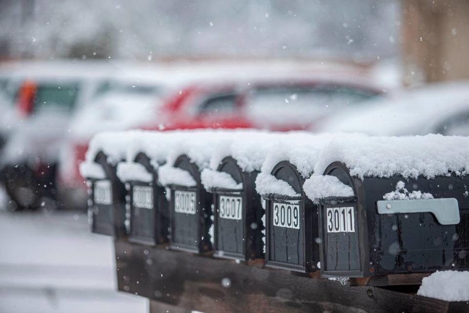
Here’s when North Texas region could see its first snow of 2024; where it’ll likely happen

In what would be the first for the new year, an area near North Texas could see snow flurries early next week.
The National Weather Service is tracking wrap-around moisture along the Red River that will lead to light precipitation around the area as temperatures fall into the 30s on Monday night. The mix of weather could lead to a “low-end chance” of light snow flurries near the Red River before precipitation comes to an end Tuesday.
“Really about less than 10% chance,” said Miles Langfeld, meteorologist at the NWS’ Fort Worth office. “Your greater chances for maybe some measurable snowfall is going to be up in Oklahoma.”
Rain chances will taper off Friday morning as the storm system shifts to the east. Additional rain/thunderstorm chances arrive on Monday ahead of a strong cold front. It'll be much cooler and breezier behind the front with lows in the 30s and highs in the 40s/50s. #dfwwx #ctxwx pic.twitter.com/mcaWM1HFQg
— NWS Fort Worth (@NWSFortWorth) January 3, 2024
⚡ More trending stories:
→Did a Glen Rose man really see a cougar across his street?
→What to know about Fort Worth garbage collection during the holidays.
→Here's how Chicago-style hot dogs have taken over Fort Worth.
Back in the Metroplex, North Texans can expect a rainy Thursday evening ahead of a mild and cool weekend.
Rain chances will begin increasing across the Metroplex into late Thursday afternoon and evening, Langfeld said. Showers will continue overnight Thursday and into Friday, as most of the precipitation will be east of the Metroplex by around 8 a.m. Friday.
Most of the precipitation in store for North Texas will be showers, with between a quarter to half an inch of rain expected, Langfeld said. There’s also a low chance for thunderstorms.
“Almost near zero chance, but can’t rule it out,” Langfeld said.
For the rest of Friday and the weekend, North Texans can expect highs to stay in the 50s and lows in the mid to upper 30s.
Saturday and Sunday will be dry, but rain chances increase going into Monday as a new system moves in, Langfeld said. Behind the system, North Texas is also expecting a cold front to move in Tuesday.
Tuesday is expected to have highs in the mid 40s to low 50s, as the windchill could get into the 30s.
“It’s gonna be pretty chilly,” Langfeld said.
