Will Northern California see rain and floods again this winter because of El Niño?
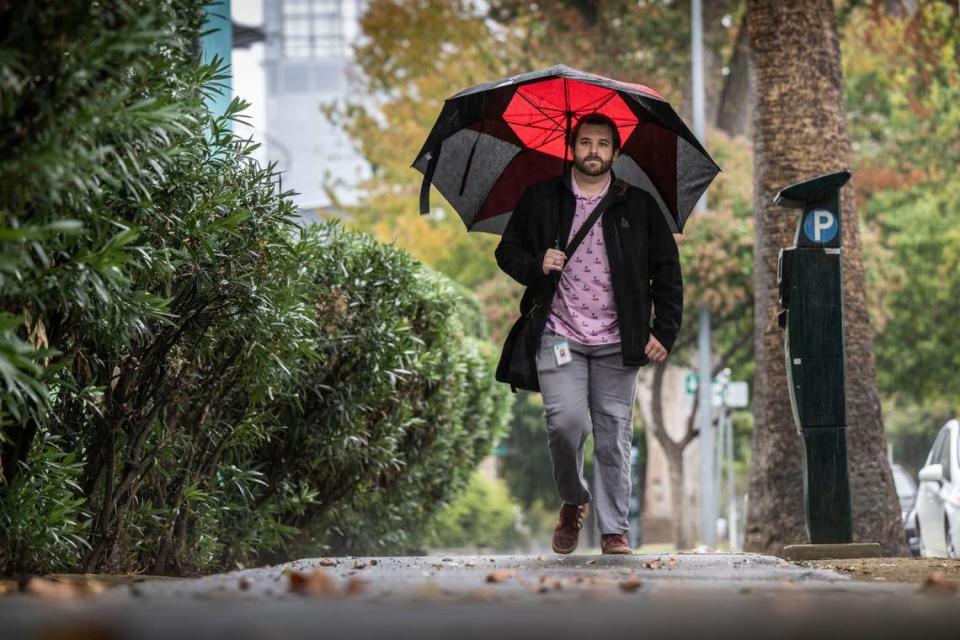
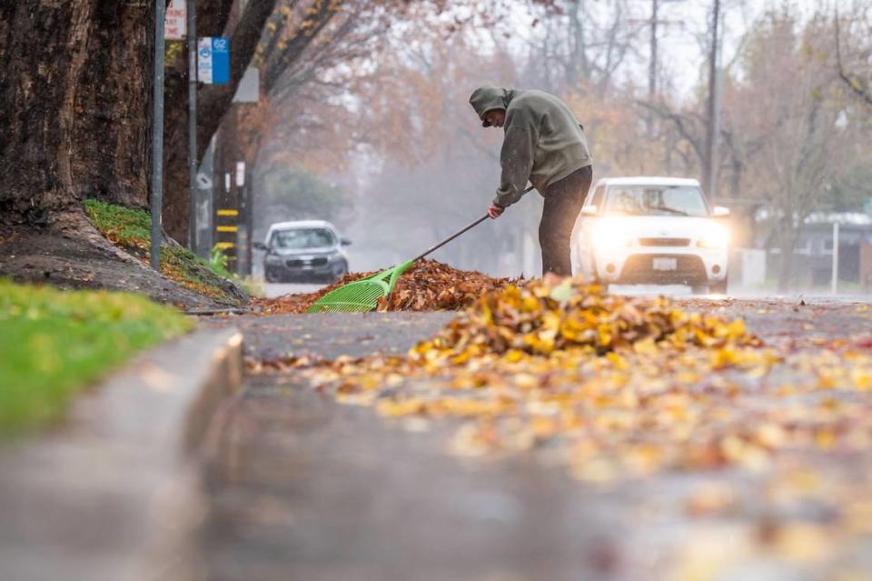
Most of California could see a wet winter this year — at least that’s what early forecasts are showing, as El Niño conditions push through the Northern Hemisphere.
Weather experts officially declared El Niño in May, meaning a higher potential for above-normal precipitation for the Golden State.
“El Niño is active right now,” Jon Gottschalck, the chief of the Operational Prediction Branch at the Climate Prediction Center said. “It’s a strong event.”
Since it was officially announced, the chance of El Niño developing from March to May next year decreased to 80%, as of Oct. 12, according to the National Weather Service’s Climate Prediction Center.
El Niño and its counterpart La Niña are climate patterns that occur when sea surface temperatures change from their norm near the Pacific Ocean’s equator, the service said on its website. In turn, this can affect weather patterns across the globe, changing high and low-pressure systems, rain and wind.
But this isn’t always the case.
“A strong event doesn’t guarantee strong global impacts, but it does increase the odds that some level of impacts will occur in places with a history of being affected by ENSO,” according to the National Oceanic and Atmospheric Administration website. ENSO refers to the El Niño-Southern Oscillation.
Especially on the West Coast, Gottschalck said, precipitation forecasts are highly variable.
How does El Niño typically affect weather?
El Niño is when sea surface temperatures are above average over the central and eastern tropical Pacific Ocean.
According to the Water Education Foundation, an El Niño year often brings above-average precipitation, strong atmospheric rivers and wetter conditions to Northern California. As a result, this can cause floods and landslides.
However, this can fluctuate.
“There’s many cases of El Niño events where it’s actually been drier in California, even though the overall tendency should be for wetter conditions,” Gottschalck said. He added that the rain probability forecasts are modest due to the uncertainty of patterns scientists have seen over history.
La Niña refers to the opposite effect when temperatures of the sea are below average. Typically, this causes drier conditions in most of California. But last winter, the state was confronting La Niña and northern California was drenched from floods and atmospheric rivers, and the Sierra Nevada was blanketed with record snowfall.
“That was an anomaly,” Gottschalck said.
For other parts of the country, scientists may have more confidence in their forecasts and the weather patterns may be more consistent during El Niño and La Niña patterns, he said.
For the West Coast, Gottschalck said, “It can be the opposite of what we expect.”
Winter outlook for Northern California
The Climate Prediction Center has extended forecasts for three-month periods.
For November, December and January, temperatures for California are either leaning or likely above normal, according to an Oct. 19 update. The northernmost part of the state has a 50 to 60% chance of being above normal, while most of Northern California has a 40 to 50% chance.
All of California has an equal chance of veering above or below normal precipitation for November, December and January.
Temperature predictions remain fairly similar for December, January and February, but precipitation is forecast to lean above normal. This means it’ll be wetter, Gottschalck said.
“Even though the map shows the most likely outcome based on all the information we have at the time, it’s not the only possible outcome,” he said, “just the most likely outcome at this time.”
What do you want to know about life in Sacramento? Ask our service journalism team your top-of-mind questions in the module below or email servicejournalists@sacbee.com.
